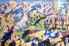
Bormio Panorama Map
Panorama tourist map of Bormio, Italy. Shows Ortler Alps in distance. From photo.
154 miles away
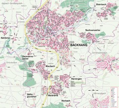
Backnang Region Map
Street map of Backnang and surrounding area
155 miles away
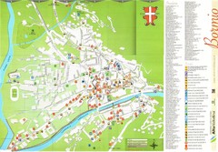
Bormio Tourist Map
Tourist map of town of Bormio, Italy. Legend of all streets and services.
155 miles away
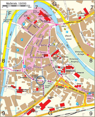
Backnang City Map
Street map of Backnang city center
155 miles away
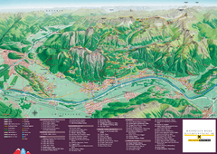
Liechtenstein Tourist Map
Tourist map of the country of Liechtenstein. Panoramic view shows all towns, trails, and mountains.
156 miles away
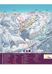
Malbun Ski Trail Map
Ski trail map of area surrounding Malbun, Liechtenstein. Also shows walking routes.
156 miles away
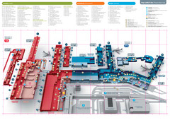
Praugue Airport Map
156 miles away
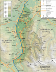
Liechtenstein topography Map
156 miles away
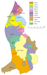
Liechtenstein Tourist Map
156 miles away
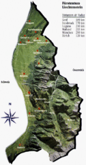
Liechtenstein Tourist Map
156 miles away
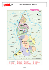
Liechtenstein Regional Map
Country map with detail of regional divides
156 miles away
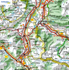
Liechtenstein road Map
157 miles away
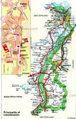
Liechtenstein Principality Map
157 miles away
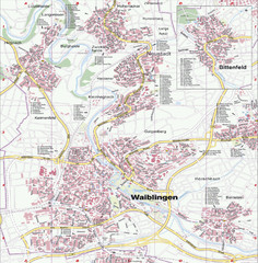
Waiblingen Map
City map of Waiblingen and surrounding region
157 miles away
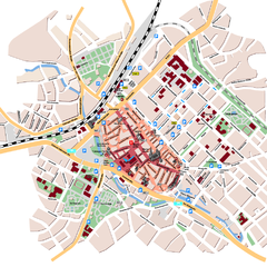
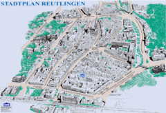
Reutlingen Tourist Map
Tourist street map of Reutlingen
158 miles away
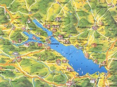
Lake Konstanz Map
158 miles away

Zeil am Main Tourist Map
Tourist street map of Zeil am Main and surrounding region
158 miles away
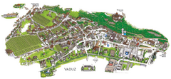
Vaduz Town Map
Tourist map of town of Vaduz, Liechtenstein. Panoramic view shows buildings and streets.
158 miles away
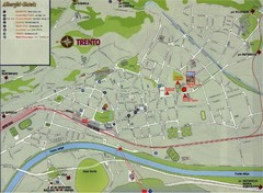
Trento Map
158 miles away
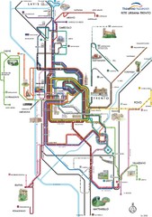
Trento Bus Route Map (Italian)
158 miles away
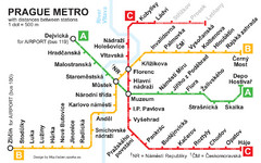
Prague Metro 2008 Map
158 miles away
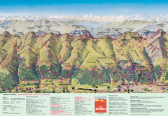
Davos Schatzalp Summer Trail Map
Trail map showing summer trails and lifts at Davos Schatzalp in Davos, Switzerland.
158 miles away
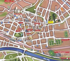
Trento Tourist Map
Tourist map of central Trento, Italy. Shows major buildings.
158 miles away
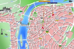
Prague Old Town Map
Tourist map of Old Town Prague, Czech Republic
158 miles away
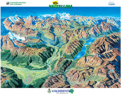
Valdidentro Alta Valtellina Summer Map
Panorama tourist map of the region of Valdidentro Alta Valtellina from Bormio, Italy to Livigno...
158 miles away
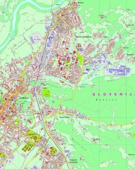
Map of Nova Gorica, Slovenia
159 miles away
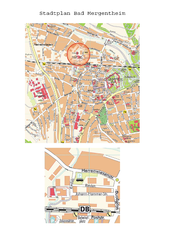
Bad Mergentheim Map
Street map of Bad Mergentheim
159 miles away
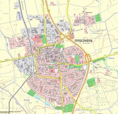
Gerolzhofen Map
Detailed street map of Gerolzhofen
159 miles away
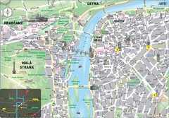
Prague Historical Center Map
Tourist map of the historical center of Prague, Czech Republic. Shows points of interest.
159 miles away
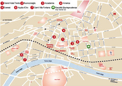
Trento center Map
159 miles away
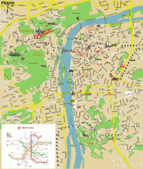
Prague (Praha) Tourist Map
Guide to major streets, points of interest and Metro
159 miles away
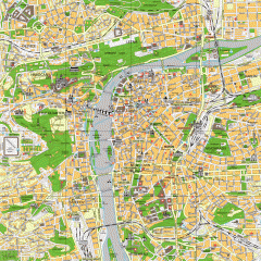
Prague City Center Map
Street map of Prague's city center. Shows tourist points of interest including landmark...
159 miles away
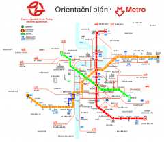
Prague Metro and Strret Car Map
Overview of Prague's metro and bus lines. Date unknown.
159 miles away
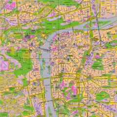
Prague Tourist Map
Tourist map of Prague, Czech Republic.
159 miles away
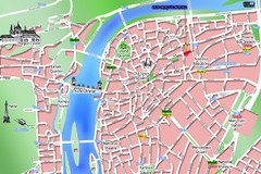
Old Prague Tourist Map
Simplified tourist map of old Prague, Czech Republic. Shows major landmarks, metro stations, and...
159 miles away
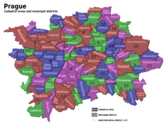
Prag Districts Map
159 miles away
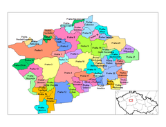
Prag Districts Map
159 miles away
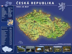
Prague, Czech Republic Tourist Map
159 miles away

