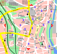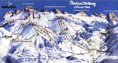
Arlberg – St Anton Ski Trail Map
Trail map from Arlberg – St Anton.
130 miles away
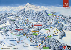
Annaberg Ski Trail Map
Trail map from Annaberg.
131 miles away
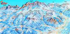
Latemar (Val di Fiemme, Obereggen) Ski Center...
Trail map from Latemar (Val di Fiemme, Obereggen), which provides downhill and nordic skiing. This...
131 miles away
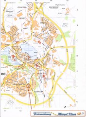
Bad Waldsee Map
Street map of Bad Waldsee
132 miles away
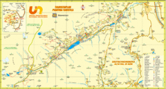
Ultental Deutschnonsberg St. Walburg Tourist Map
Tourist map of the southern Tyrol region around Ultental, Deutschnonsberg, and St. Walburg/ S...
133 miles away
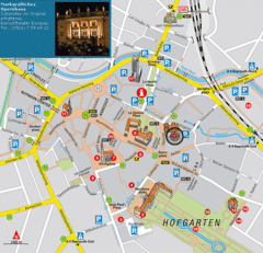
Bayreuth Tourist Map
Tourist map of Bayreuth town center
133 miles away
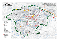
Triglav National Park Map
Triglav National Park is the only Slovenian national park. The park was named after Triglav, the...
134 miles away
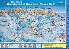
San Martino di Cartozza Ski Trail Map
Ski trail map of San Martino di Cartozza, Italy
134 miles away
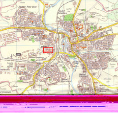
Crailsheim Map
Street map of Crailsheim region
134 miles away

Wuerttembergische Landeskirche Map
Karte der Evang. Landeskirche in Wuerttemberg, The Evangelical-Lutheran Church in Wuerttemberg
136 miles away
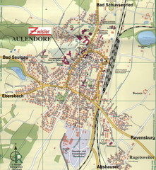
Aulendorf Map
Street map of city of Aulendorf
137 miles away
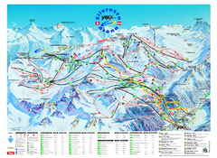
Ischgl – Galtur Ski Trail Map
Trail map from Ischgl – Galtur.
140 miles away
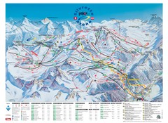
Ischgl – Galtur Ski Trail Map
Trail map from Ischgl – Galtur.
140 miles away

Czech Republic Map
143 miles away
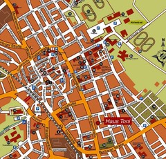
Bad Saulgau Tourist Map
Tourist street map of Bad Saulgau town center
143 miles away
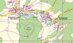
Indelhausen / Anhausen Map
Map of towns of Indelhausen & Anhausen
143 miles away
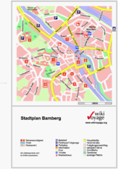
Bamberg Tourist Map
Tourist map of downtown Bamberg
144 miles away
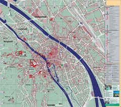
Bamberg City Map
City map of Bamberg, Germany
144 miles away
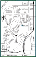
Kuala Lumpur Hotel Map
144 miles away
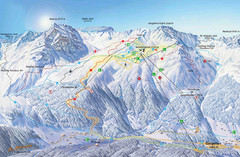
Montafon Ski Trail Map
Trail map from Montafon.
144 miles away

Sulden Ski Trail Map
Ski trail map of Sulden (Solda), Italy in the Ortler Alps. Shows trails and lifts.
145 miles away
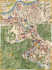
Karlovy Vary Czech Republic Tourist Map
Tourist map of Karlovy Vary, Czech Republic. Shows businesses, buildings of historical interest and...
145 miles away
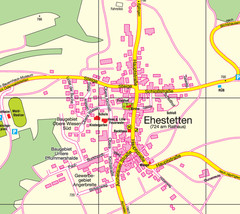
Ehestetten Map
Street map of Ehestetten
146 miles away
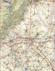
Northern Italy Tourist Map
Pordenone, Coltura, Polcenigo, Italy
146 miles away
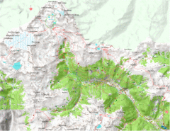
Val di Rabbi Topo Map
Detailed topographic map of Val di Rabbi, Italy on the edge of Stelvio National Park
146 miles away
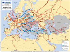
Europe Proposed Natural Gas Pipelines Map
The priority axes for natural gas pipelines, which involve INOGATE Participating Countries and...
147 miles away

Sulden Trafoi Summer Hiking Map
Summer hiking route map of Sulden (Solda) Italy, Trafoi, Italy and Stelvio, Italy. Shows hiking...
147 miles away
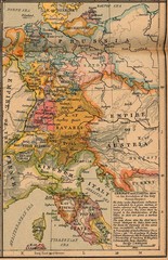
Germany Italy 1806 Map
Germany and Italy in 1806 at the dissolution of the Roman Empire
148 miles away
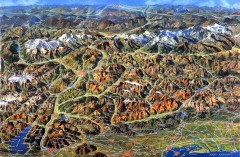
Eastern Alps Italy and Austria Overview Map
Panoramic map of the mountains and towns of northern Italy, the Tyrol, and southern Austria
148 miles away
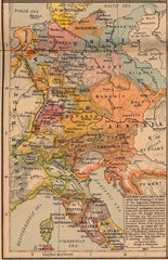
Germany Italy 1803 Map
Germany and Italy in 1803 after the Principle Decree of the Imperial Deputation
151 miles away
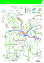
Graz Tram and Bus Map
Shows 8 tram lines and 23 bus lines in Graz, Austria
152 miles away
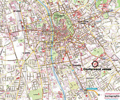
Graz Street Map
Street map of Graz, Austria. Shows main streets.
152 miles away
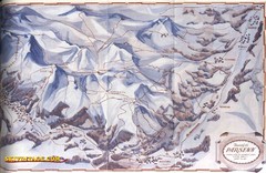
Davos-Klosters Ski Trail Map
Trail map from Davos-Klosters.
153 miles away
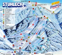
Stuhleck – Spital am Semmering Ski Trail Map
Trail map from Stuhleck – Spital am Semmering, which provides downhill skiing. This ski area...
154 miles away
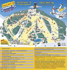
Semmering Ski Trail Map
Trail map from Semmering.
154 miles away

