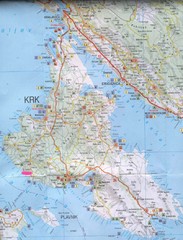
Krk Tourist Map
Tourist map of island of Krk, Croatia. Second biggest island in Croatia
233 miles away
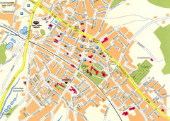
Halle City Map
Street map of Halle city center
233 miles away
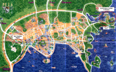
Pula Tourist Map
Tourist map of Pula, Croatia. Bus station highlighted. Scanned.
233 miles away

Alsace - Route du Vin Map
233 miles away
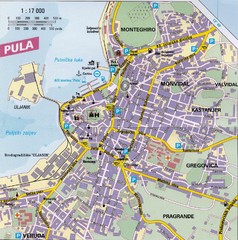
Pula City Map
City map of Pula, Croatia. Shows major streets.
234 miles away

Weil am Rhein Tourist Map
Tourist street map of Weil am Rhein
234 miles away
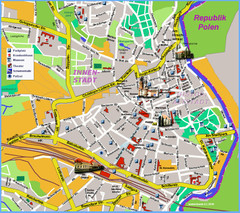
Goerlitz Tourist Map
Tourist street map of Goerlitz
235 miles away
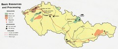
Czechoslovakia Resources Map (1974)
Map of 1974 Czechoslovakia resources
235 miles away
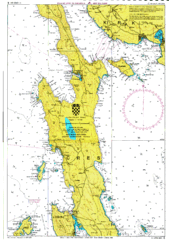
Cres hajózási Map
235 miles away
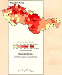
Czechoslovakia Population Density Map
Map of Czechoslovakia's population density
235 miles away
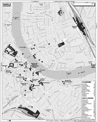
Basel Tourist Map
Tourist map of Basel, Switzerland. Shows museums, accommodations, eating, and drinking spots
235 miles away
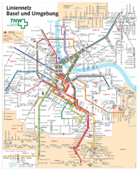
Basel Light Rail and Bus Map
235 miles away
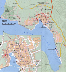
Cres City Map
City map of Cres, Island of Cres, Croatia.
236 miles away
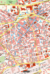
Kaiserslautern Center Map
Street map of Kaiserslautern city center
237 miles away

Butzbach Tourist Map
Tourist map of city of Butzbach
238 miles away
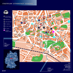
Eisleben Tourist Map
Tourist street map of Eisleben
239 miles away

Cremona Map
240 miles away
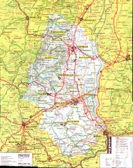
Alsace - Haut Rhin Map
241 miles away
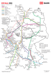
D ICE Netz Map
241 miles away
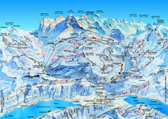
Jungfrauregion (Mürren, Wengen, Grindelwald) Ski...
Trail map from Jungfrauregion (Mürren, Wengen, Grindelwald), which provides downhill skiing.
241 miles away

Colmar 1 Map
241 miles away
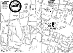
Colmar 2 Map
241 miles away
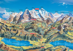
Jungfrau Grindelwald region summer map
This map is a summer panorama looking south from Interlaken toward the Jungfrau, Eiger, and the...
242 miles away
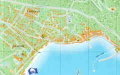
Baska Krk Tourist Map
Tourist map of Baska Krk, Croatia. Scanned.
242 miles away
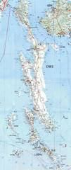
Cres & Losinj Island Map
Tourist map of island of Cres and island of Losinj, Croatia.
243 miles away

Cres Island Map
Road map of island of Cres, Croatia. Biggest island in Croatia.
243 miles away

Ribeauville Map
243 miles away
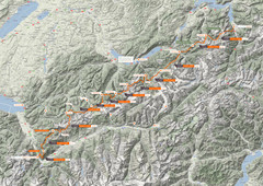
Swiss Alps Trail Map
Around Interlaken, Switzerland.
243 miles away
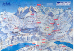
Jungfrau Map
243 miles away
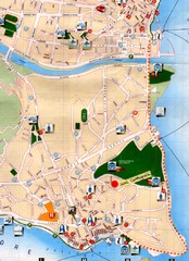
Verbania Pallatzo City Map
City map of Verbania-Pallanza, Italy on Lago Maggiore
243 miles away
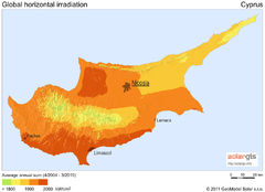
Solar Radiation Map of Cyprus
Solar Radiation Map Based on high resolution Solar Radiation Database: SolarGIS. On the Solar Map...
244 miles away
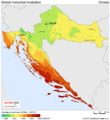
Solar Radiation Map of Croatia
Solar Radiation Map Based on high resolution Solar Radiation Database: SolarGIS. On the Solar Map...
244 miles away
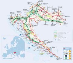
Coratia Tourist Map
Map of Croatia showing roads, international border crossings, parks, airports and ferrys.
244 miles away
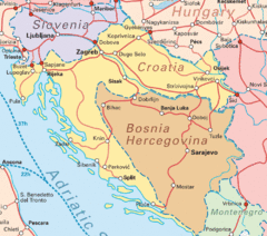
Interrail Routes for Croatia Map
Interrail railway routes for Croatia, Bosnia Hercegovina, Slovenia, and Hungary.
244 miles away
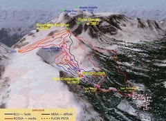
Alpe Ciamporino Ski Trail Map
Trail map from Alpe Ciamporino, which provides downhill skiing. It has 6 lifts. This ski area has...
244 miles away
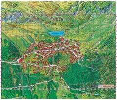
Bettmeralp Summer Map
Summer tourist map of town of Bettmeralp, Switzerland. With reference grid.
244 miles away
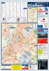
Giessen Tourist Map
Tourist map of Giessen and surrounding area
244 miles away
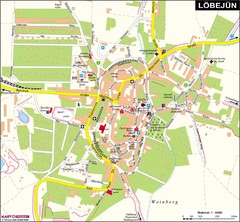
Loebejuen Map
Street map of town of Loebejuen
244 miles away

