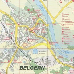
Switzerland Map
224 miles away

Strasbourg Map
224 miles away
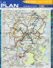
Strasbourg Bus and Tram Map
224 miles away
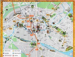
Strassburg Tourist Map
Tourist map of central Strassburg, France. Shows streets, trams, and major buildings. Scanned.
224 miles away
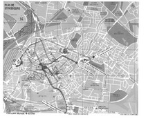
Strasbourg Map
Shows bus and tram itineraries to the Brethren Colleges Abroad office from the train station and...
224 miles away
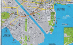
Ascona City Tourist Map
Landmarks in Ascona, Switzerland
225 miles away

Frankfurt Airport Map
225 miles away

Frankfurt Airport Fern Bf Map
225 miles away
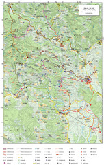
Krašić Bike Trail Map
Bike routes of the Krašić-Vivodina region.
225 miles away
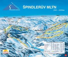
Špindlerův Mlýn Ski Trail Map
Trail map from Špindlerův Mlýn.
225 miles away
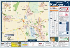
Karben Tourist Map
Tourist map of Karben and surrounding region
225 miles away
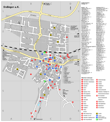
Endingen Tourist Map
Tourist street map of Endingen center
225 miles away
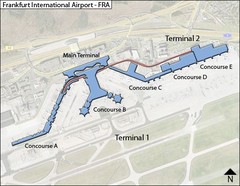
Frankfurt Airport Map
225 miles away

Oppenheim Map
Street map of city of Oppenheim
225 miles away
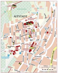
Oppenheim Altstadt Map
Street map of Altstadt area Oppenheim
226 miles away
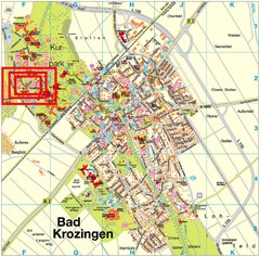
Bad Krozingen Map
Street map of Bad Krozingen
226 miles away
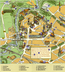
Bautzen Tourist Map
Tourist map of Bautzen town center
226 miles away
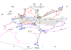
Alpenregion Meiringen-Hasliberg Ski Trail Map
Trail map from Alpenregion Meiringen-Hasliberg.
226 miles away
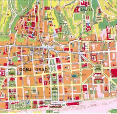
Zagreb Tourist Map
Tourist map of central Zagreb, Croatia. Shows major buildings.
227 miles away
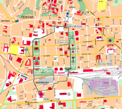
Zagreb Center Map
227 miles away
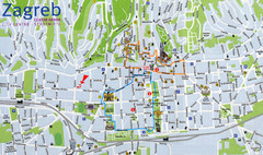
Zagreb Croatia Tourist Map
Zagreb City Centre Tourist map showing tourist attractions, hotels, tourist information and city...
227 miles away
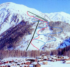
Hungerberg Ski Trail Map
Trail map from Hungerberg, which provides downhill skiing. It has 3 lifts. This ski area has its...
227 miles away

Alsace - Bas Rhin Map
229 miles away
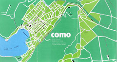
Como City Map
City map and historical sites of Como, Italy.
230 miles away
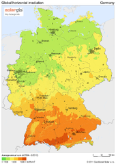
Solar Radiation Map of Germany
Solar Radiation Map Based on high resolution Solar Radiation Database: SolarGIS. On the Solar Map...
230 miles away
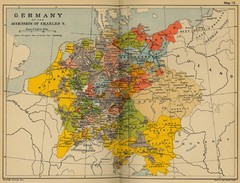
Germany 1519 Historical Map
230 miles away
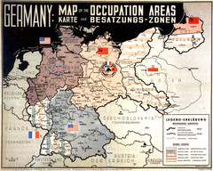
Occupation Areas of Germany after 1945 Map
This was an actual poster to be shown in the occupied Germany after the WWII.
230 miles away
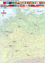
Germany Football World Cup 2006 Map
Shows football (soccer) cities in the 2006 World Cup hosted by Germany.
230 miles away
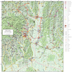
Zagreb County Cycling Route Map
Shows a cycling route in Zagreb County, Croatia. From the Roman “Magna Vie” near Komin...
231 miles away
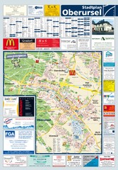
Oberursel Tourist Map
Tourist map of Oberursel and surrounding region
231 miles away
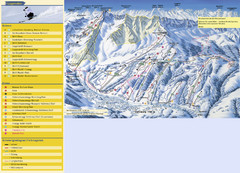
Sörenberg Ski Trail Map
Trail map from Sörenberg.
232 miles away
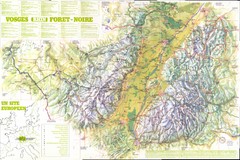
Vosges panorama Map
232 miles away

Novi Vinodolski Street Map
Street map of Novi Vinodolski, Croatia. Scanned.
233 miles away
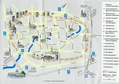
Muhlhausen City Map
City map of Muhlhausen with attractions.
233 miles away
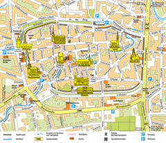
Mühlhausen Tourist Map
Tourist street map of Mühlhausen
233 miles away

