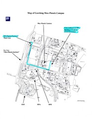
Garching Max-Planck Campus Map
Map of the Max-Planch Campus in Garching, Germany. Includes information on Accommodation and...
0 miles away
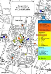
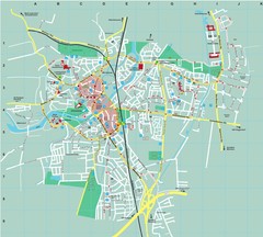
Map of the city of Garching, Germany
General visitor information including the locations of restaurants, hotels, bus stops and more.
less than 1 mile away
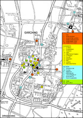
Garching Map
Map of Garching, a suburb to the north of Munich, with hotels, restaurants and bus stops marked.
less than 1 mile away
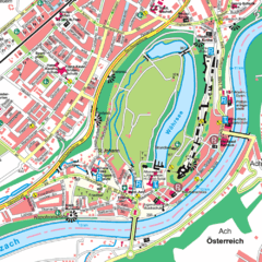
Burghausen Tourist Map
Tourist street map of Burghausen
12 miles away
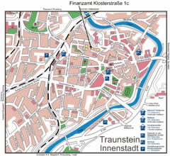
Traunstein Map
Street map of Traunstein
19 miles away
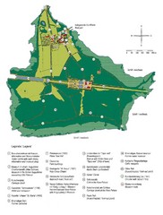
Chiemsee Island Germany Tourist Map
Tourist map of the island showing all the tourist sites.
20 miles away
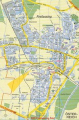
Freilassing Map
Street map of Freilassing
27 miles away
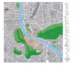
Salzburg Tourist Map
Tourist map of Salzburg, Austria. In German.
31 miles away
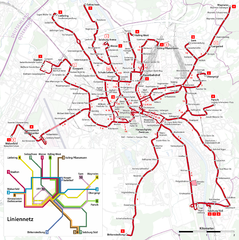
Salzburg Trolleybus Map
31 miles away
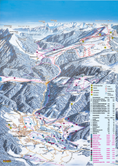
Reit im Winkl Ski Trail Map
Trail map from Reit im Winkl.
32 miles away
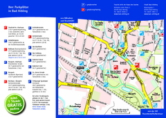
Bad Aibling Tourist Map
Tourist parking map of downtown Bad Aibling
32 miles away
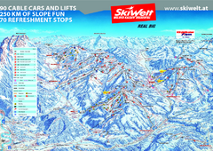
Wilder Kaiser Ski Trail Map
Trail map from Wilder Kaiser – Gosau, Scheffau, Ellmau.
39 miles away
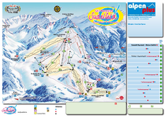
Sudelfeld Ski Trail Map
Trail map from Sudelfeld.
40 miles away
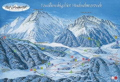
Berchtesgadener Land Ski Trail Map
Trail map from Berchtesgadener Land.
41 miles away
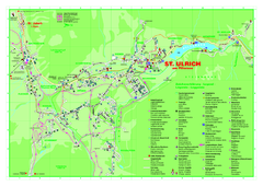
St. Ulrich am Pillersee Map
Village map of St. Ulrich am Pillersee, Austria
42 miles away
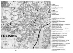
Freising City Map
43 miles away
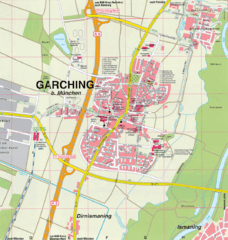
Garching bei München Map
Street map of Garching bei München
44 miles away
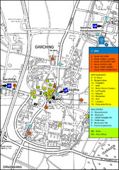
Garching Tourist Map
Tourist map of Garching bei Munchen, Germany. Shows hotels, restaurants and the most important bus...
44 miles away
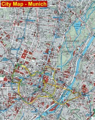
Munich City Map
City map of Munich, Germany
46 miles away
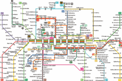
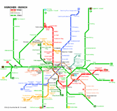
Munich Metro Map
Metro map of Munich, Germany. In German.
46 miles away
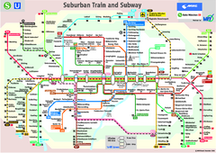
Munich public transportation system Map
This MVV network map, probably the best known one, shows all lines and stops for the urban rail and...
46 miles away
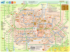
Munich Public Transportation Map
46 miles away
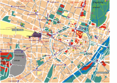
Munich Tourist Map
Tourist map of central Munich (München), Germany.
46 miles away
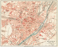
Munich Map
46 miles away
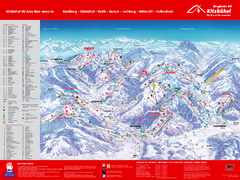
Kitzbuhel Ski Trail Map
Trail map from Kitzbuhel.
48 miles away
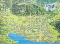
Rottach Egern Map
49 miles away
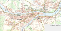
Passau Map
City map of Passau and surrounding area
51 miles away
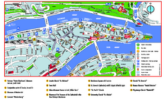
Passau Tourist Map
Tourist map of Passau, Germany. Shows points of interest. In English.
51 miles away
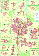
Mainburg Map
Street map of Mainburg city and surrounding region
51 miles away
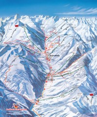
Saalbach and Hinterglemm Winter walks map
Panoramic map showing winter walks in the Saalbach and Hinterglemm Austria area.
52 miles away
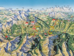
Saalbach Hinterglemm Summer Hiking Map
Summer panorama map of Saalbach and Hinterglemm Austria area. Shows trails, lifts, huts, and peaks.
52 miles away
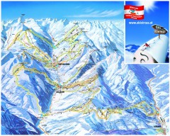
Saalbach and Hinterglemm Ski Trail map
Official ski trail map of Saalbach and Hinterglemm area from the 2006-2007 season. In German.
52 miles away
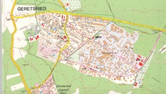
Geretsried Map
Street map of Geretsried
54 miles away
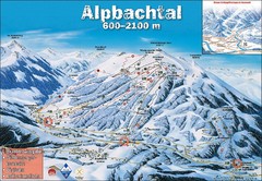
Alpbach Ski Trail Map
Trail map from Alpbach.
59 miles away
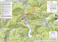
Central Austria Hiking Map
Large map of hiking and emergency services.
59 miles away
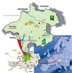
Upper Austria Tourist Map
65 miles away

