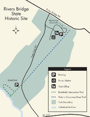
Rivers Bridge State Park Map
Nice and clear map of this history state park.
150 miles away

UWG Campus Map
151 miles away
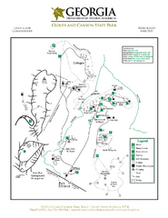
Cloudland Canyon State Park Map
Map of park with detail of trails and recreation zones
151 miles away
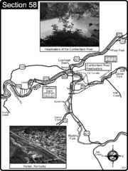
Harlan, KY-Cumberland River Headwaters Map
Section 58 of the Cumberland River Guidebook shows the beginning of the Cumberland River at the...
153 miles away
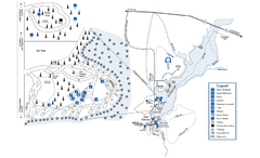
George L. Smith State Park Map
Map of park with detail of trails and recreation zones
153 miles away
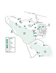
John Tanner State Park Map
Map of park with detail of trails and recreation zones
153 miles away
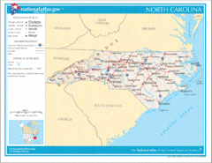
North Carolina Road Map
154 miles away
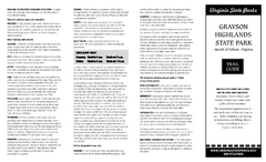
Grayson Highlands State Park Map
Clear and descriptive map of this beautiful state park.
154 miles away
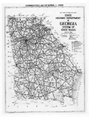
Georgia 1939 Road Map
State Road Map of Georgia in 1939
154 miles away
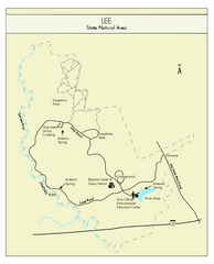
Lee State Park Map
Simple map of this state park.
154 miles away
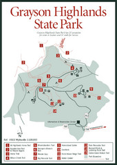
Grayson Highlands State Park Map
155 miles away
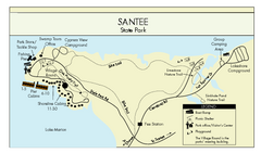
Santee State Park Map
Clear state park map.
156 miles away
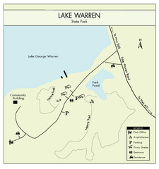
Lake Warren State Park Map
Clearly marked state park map.
159 miles away
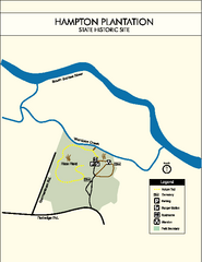
Hampton Plantation State Park Map
Clear and easy to read map.
160 miles away
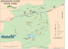
Kingdom Come State Park Map
Trail map for Kingdom Come State Park.
160 miles away
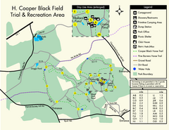
H. Cooper Black Field Map
Detailed map and legend of this state park.
163 miles away
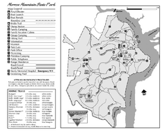
Morrow Mountain State Park map
Detailed recreational map for Morrow Mountain State Park in North Carolina
163 miles away

Little River Canyon Tourist Map
Little River Canyon, Alabama
165 miles away
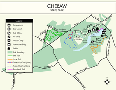
Cheraw State Park Map
Clear and descriptive state park map.
165 miles away
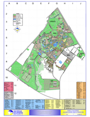
Georgia Southern University Map
Georgia Southern University Campus Map. All buildings shown.
166 miles away
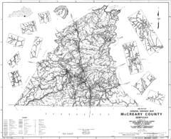
Mccreary County General Highway Map
Map of McCreary County with road, waterways and towns identified.
167 miles away
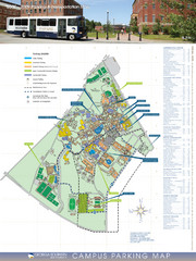
Georgia Southern University Map
Campus Map
168 miles away
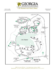
F.D. Roosevelt State Park Map
Map of park with detail of trails and recreation zones
168 miles away
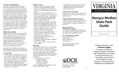
Hungry Mother State Park Map
Detailed map of this small state park.
168 miles away
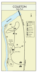
Colleton State Park Map
Detailed map and map legend of this beautiful state park.
170 miles away
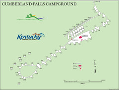
Cumberland Falls Map
170 miles away
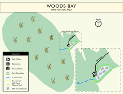
Woods Bay State Park Map
Clear map of this small yet beautiful state park.
170 miles away
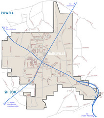
Rainsville Street Map
Chamber of Commerce Business Guide
171 miles away
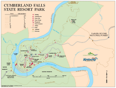
Cumberland Falls State Resort Park map
Detailed recreation map for Cumberland Falls State Resort Park in Kentucky
172 miles away
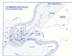
Cumberland Falls State Resort Park Map
Cumberland Falls Park Area Map
172 miles away

North Carolina Road Map
Road map of North Carolina
172 miles away
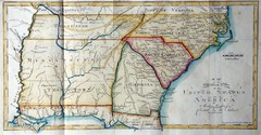
Southern Parts of the US Map
"This map was initially published in Morse's American Gazetteer in 1797 with Georgia...
173 miles away
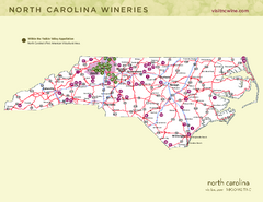
North Carolina Wine Map
Map of North Carolina wineries. 2nd page of PDF has winery listings
173 miles away
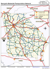
Georgia Transportation Map
175 miles away
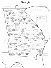
Georgia Tourist Map
175 miles away
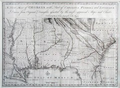
Georgia Map
Map of Georgia circa 1748. Includes Georgia and parts of the Carolinas, Florida and Louisiana.
175 miles away
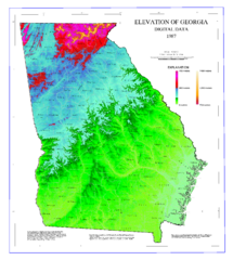
Map of Georgia Elevations
Digital elevation map of Georgia, U.S.
175 miles away
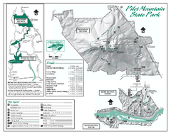
Pilot Mountain State Park map
Detailed recreation map for Pilot Mountain State Park in North Carolina
175 miles away
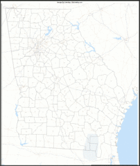
Georgia Zip Code Map
Check out this Zip code map and every other state and county zip code map zipcodeguy.com.
175 miles away
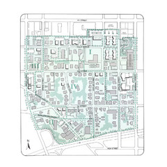
Downtown Wiston-Salem Map
The Holly Avenue neighborhood located on the southwestern edge of downtown Winston-Salem has...
176 miles away

