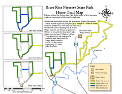
River Rise Preserve State Park Horse Trail Map
Map of horse trails throughout preserve
330 miles away

New Bern Map
Downtown Map of New Bern.
330 miles away

Lower Neuse River Conservation Initiative Map
Map and poster showing conservation lands along the lower Neuse river in coastal North Carolina.
331 miles away
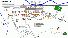
Beverly Historic District map
Tourist map of Historic Beverly of Randolph County, West Virginia.
331 miles away
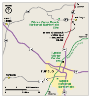
Brices Cross Roads National Battlefield Site...
Official NPS map of Brices Cross Roads National Battlefield Site in Mississippi. The grounds of the...
332 miles away
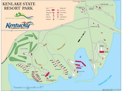
KenLake State Resort Park Map
Map of trails, facilities, and golf course for the KenLake State Resort Park located on the mid...
332 miles away
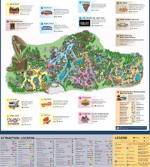
Paramount's Kings Island Map
332 miles away
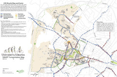
University of Virginia SMART Transportation Map
UVA Bicycle Map and Guide, including transit
334 miles away
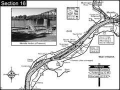
Ohio River at Marietta, OH and 8 miles downriver...
This is a page from the Ohio River Guidebook. The map shows important information for boaters and...
335 miles away
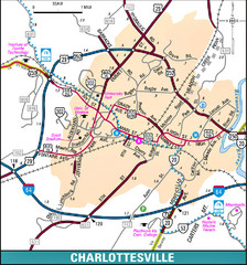
Charlottesville, Virginia City Map
335 miles away
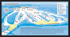
Paoli Peaks Ski Trail Map
Official ski trail map of Paoli Peaks ski area from the 2007-2008 season.
337 miles away
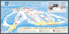
Paoli Peaks Ski Trail Map
Trail map from Paoli Peaks, which provides downhill, night, and terrain park skiing. It has 8 lifts...
337 miles away
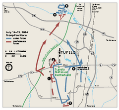
Tupelo National Battlefield Official Map
Official NPS map of Tupelo National Battlefield in Mississippi. Tupelo National Battlefield (NB...
337 miles away
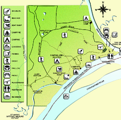
Ochlockonee River State Park Map
Map of park with detail of trails and recreation zones
337 miles away

Cherry Point Conservation Initiative Map
Map showing conservation lands at two US military facilities in coastal North Carolina.
338 miles away
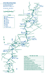
Little Miami State Park map
Detailed recreation map for Little Miami State Park and surrounding area in Ohio
339 miles away
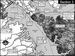
Kentucky Lake Tennesssee River-Land Between the...
This is the upper end of Kentucky Lake which is the Tennessee River. The map is designed for...
339 miles away
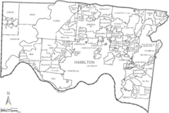
Hamilton, Ohio City Map
340 miles away
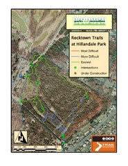
Rocktown Trail Map
Aerial trail map of Rocktown trails at Hillandale Park in Harrisonburg, VA
340 miles away
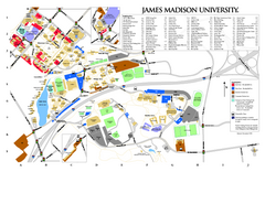
James Madison University Map
340 miles away
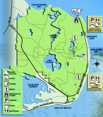
Bald Point State Park Map
Map of park with detail of trails and recreation zones
340 miles away
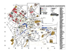
James Madison University Map
James Madison University Campus Map. All buildings shown.
341 miles away
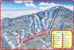
Massanutten Ski Trail Map
Official ski trail map of Massanutten ski area from the 2007-2008 season.
343 miles away
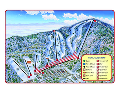
Massanutten Resort Ski Trail Map
Trail map from Massanutten Resort.
343 miles away
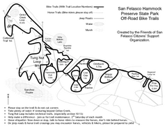
San Felasco Hammock Preserve State Park Bike...
Map of bike trails throughout preserve
343 miles away
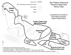
San Felasco Hammock Preserve State Park Horse...
Map of horse trails throughout preserve
343 miles away
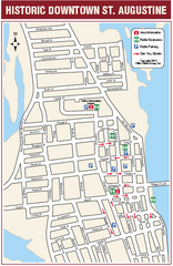
Downtown St. Augustine, Florida Map
Tourist map of historic downtown St. Augustine, Florida. Shows visitor information, restrooms, and...
343 miles away
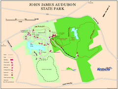
John James Audubon State Park Map
Map of trails, facilities and historical sites in John James Audubon State Park.
344 miles away
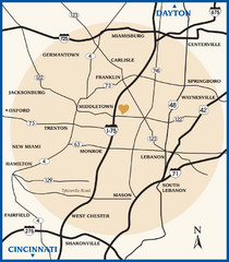
Atrium County Map
Map of Atrium County, Ohio. Includes all roads and towns.
344 miles away
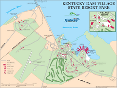
Kentucky Dam Village State Resort Park Map
Map of golf course and facilities for Kentucky Dam Village State Resort Park, one of three state...
345 miles away
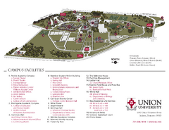
Union University Jackson Campus Map
Campus map of Union University in Jackson, Tennessee
347 miles away
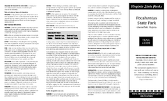
Pocahontas State Park Map
Clearly marked state park map and legend.
347 miles away
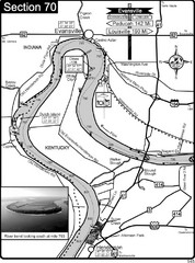
Ohio River at Evansville, IN and Henderson, KY Map
This is a page from the Ohio River Guidebook. The map shows important information for boaters and...
347 miles away
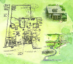
Dudley Farm Historic State Park Map
Map of park with detail of historical monuments
348 miles away

Ben Hill Griffin Stadium Map
Clear map and legend of this stadium.
349 miles away

University of Florida Map
350 miles away
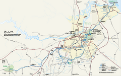
Petersburg National Battlefield Official Map
Official NPS map of Petersburg National Battlefield in Virginia. Petersburg National Battlefield is...
350 miles away
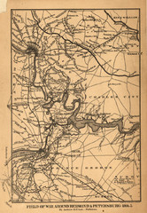
Petersburg, Virginia 1864 Map
351 miles away
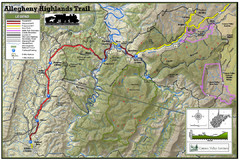
Trailmap72dpi Big Map
Detailed map of Allegheny Highland Trails and surrounding locations.
352 miles away
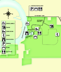
Fanning Springs State Park Map
Map of park with detail of trails and recreation zones
352 miles away

