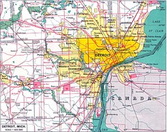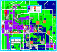
University of Michigan Campus Map
Map of the University of Michigan campus. Includes all buildings, streets and surrounding...
0 miles away
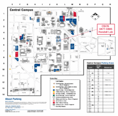
University of Michigan Visitor Map
Map of the University of MI. Shows the location of all parking lots and a color key that describes...
less than 1 mile away
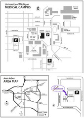
University of Michigan Medical Campus Visitor Map
Map of University of Michigan Medical Campus and Map showing the location of the school within Ann...
less than 1 mile away

University of Michigan - North Campus Map
less than 1 mile away
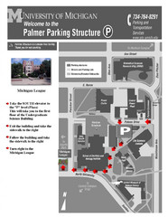
University of Michigan Palmer Parking Map
Map of Visitor Parking Areas with specific directions. Includes location of all surrounding...
less than 1 mile away
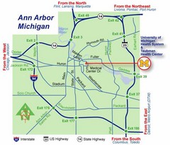
Ann Arbor, Michigan City Map
1 mile away
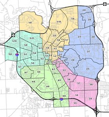
Ann Arbor City Map
City map of Ann Arbor, Michigan, with voting precincts.
1 mile away
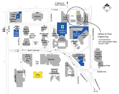
University of Michigan Map
Campus map
1 mile away
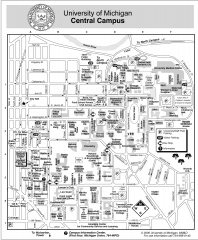
University of Michigan - Ann Arbor Map
University of Michigan - Ann Arbor, campus map. All buildings shown.
2 miles away
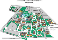
Eastern Michigan University Map
Map of EMU campus
6 miles away
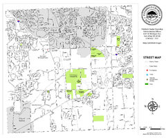
Pittsfield Twp MI street map
6 miles away
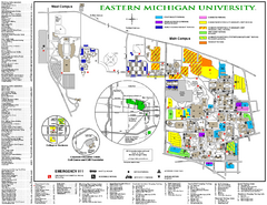
Eastern Michigan University Map
Eastern Michigan University Campus Map. All areas shown.
7 miles away
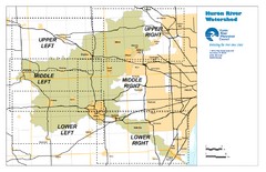
Huron River Watershed Map
Creek and watershed map of Huron River
13 miles away
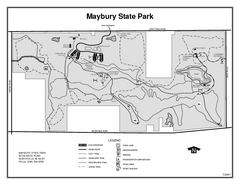
Maybury State Park, Michigan Site Map
14 miles away
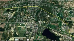
Interurban Track through Chelsea, Michigan Map
A map of the Detroit, Jackson and Chicago Railway interurban track as it went through Chelsea...
15 miles away
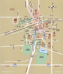
Chelsea MI Map
16 miles away
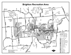
Brighton Recreation Area, Michigan Site Map
16 miles away
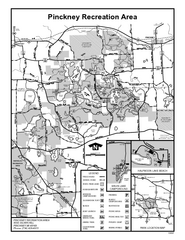
Pinckney State Park, Michigan Site Map
18 miles away
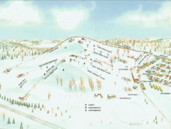
Mt. Brighton Ski Trail Map
Trail map from Mt. Brighton.
18 miles away
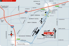
Detroit Metro Airport Area Map
20 miles away
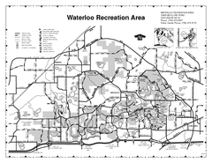
Waterloo State Recreation Area Map
The park is over 20,000 acres and has 4 campgrounds, beaches, picnic areas, 11 fishing lakes...
20 miles away
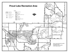
Proud Lake Recreation Area, Michigan Site Map
21 miles away
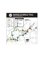
Waterloo State Recreation Area Bridle Trails Map
The Waterloo State Recreation Area has 12 miles of bridle trails and a horse campground.
21 miles away

University of Michigan Map
25 miles away
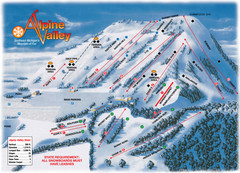
Alpine Valley Ski Trail Map
Trail map from Alpine Valley.
27 miles away
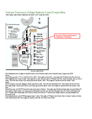
Oakland Community College Highland Lakes Campus...
Oakland Community College Highland Lakes Campus Map. Highland Lakes Campus is located in Waterford...
27 miles away
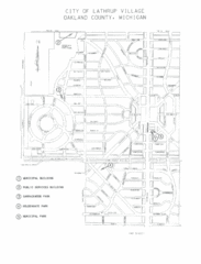
Lathrup Village Street Map
29 miles away
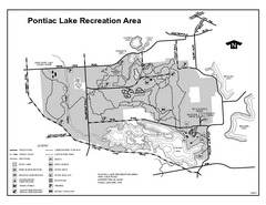
Pontiac Lake Recreation Area, Michigan Site Map
30 miles away
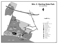
Sterling State Park, Michigan Site Map
32 miles away

Wayne State University Map
34 miles away
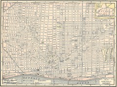
Map of the Main Portion of Detroit - 1895
Map of downtown Detroit, 1895. From Rand McNally's Atlas of the World, 1901, page 42
34 miles away

Detroit, Michigan City Map
35 miles away
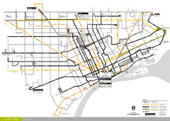
DDOT 2006 System Map
Detroit Department of Transportation Transit System.
35 miles away
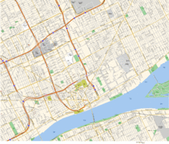
Detroit, MI Tourist Map
35 miles away
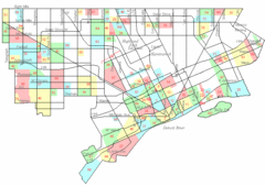
Detroit Neighborhoods Map
35 miles away

Detroit Belle Isle Grand Prix Map
35 miles away
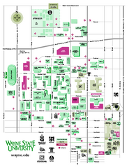
Wayne State University Map
Wayne State University Campus Map. All buildings shown.
35 miles away
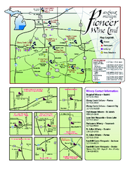
Pioneer Wine Trail Map
Tourist map of the Pioneer Wine Trail in Southeast Michigan. Shows wineries, vineyards, lodging and...
35 miles away

Downtown Jackson Restaurant Map
Downtown Jackson restaurant map with many delicious locations!
35 miles away


 Explore Maps
 Map Directory
