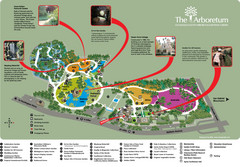
Arboretum Map
Visitor map of the Arboretum
77 miles away
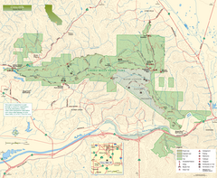
Chino Hills State Park Map
Overview map of park with detail of trails and recreation zones
77 miles away
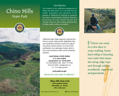
Chino Hills State Park Map
Map of park with detail of trails and recreation zones
77 miles away
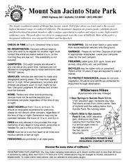
Mount San Jacinto State Park Campground Map
Map of campground region of park with detail of trails and recreation zones
77 miles away
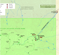
Mount San Jacinto State Park NE Map
Map of NE region of park with detail of trails and recreation zones
77 miles away
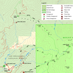
Mount San Jacinto State Park NW Map
Map of NW region of park with detail of trails and recreation zones
77 miles away
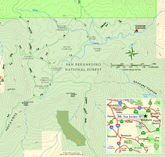
Mount San Jacinto State Park SE Map
Map of SE region of park with detail of trails and recreation zones
77 miles away
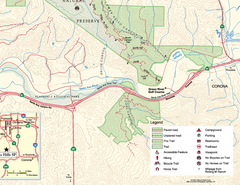
Chino Hills State Park SE Map
Map of SE portion park with detail of trails and recreation zones
78 miles away
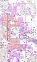
Palm Springs California City Map
78 miles away
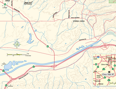
China Camp State Park SW Map
Map of SW portion of park with detail of trails and recreation zones
78 miles away
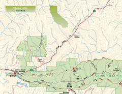
Chino Hills State Park NW Map
Map of NW portion of park with detail of trails and recreation zones
79 miles away
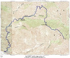
Ybarra Canyon Trail Map
Ybarra Canyon in the Angeles National Forest.
80 miles away
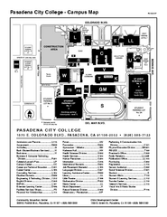
Pasadena City College Campus Map
Pasadena City College Campus Map. Shows all areas.
80 miles away
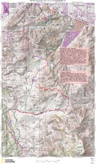
Palm Canyon Epic Trail Map
Upper Trailhead Map. Topo map marked with detail route and notes for ride.
81 miles away
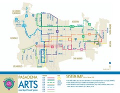
Pasadena ARTS (Area Rapid Transit System) Map
Pasadena A.R.T.S. (Metro) Route Map. System map of all train routes, streets and surrounding...
81 miles away
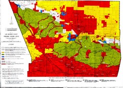
Los Angeles County Firearms Closure Area Map
This map shows where you can use archery, shotgun and rifle to hunt.
84 miles away
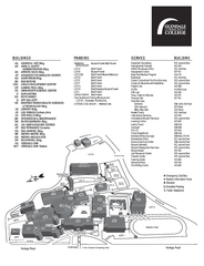
Glendale Community College Campus Map
Glendale Community College Campus Map. Shows all buildings.
84 miles away
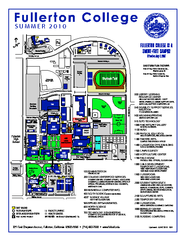
Fullerton College Campus Map 2010
Campus map of Fullerton College in Fullerton, California. Shows all buildings. Updated for Summer...
86 miles away
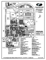
Fullerton College Campus Map
Fullerton College Campus Map. Shows all buildings.
86 miles away
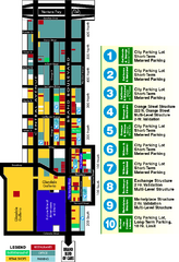
Downtown Glendale, California Map
Tourist map of downtown Glendale, California. Locations of retail, restaurants, entertainment and...
86 miles away
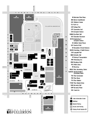
California State University at Fullerton Map
Campus Map of California State University at Fullerton. All buildings shown.
86 miles away
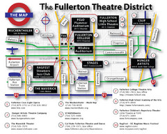
Fullerton, CA Theatre District Map
86 miles away
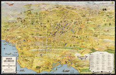
Los Angeles – the wonder city of America...
Leuschner's 1934 map "Los Angeles – the wonder city of America".
87 miles away
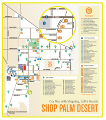
Palm Desert Shopping Map
Visitor map/shopping guide of Palm Desert
88 miles away
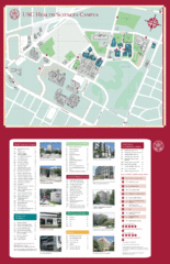
USC Health Sciences Campus Map
Campus map of Health Sciences at the University of Southern California. Includes Keck School of...
88 miles away
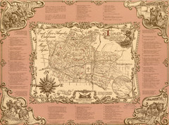
East Los Angeles Murals Map
The Goez Map Guide to the Murals of East Los Angeles, CA
88 miles away
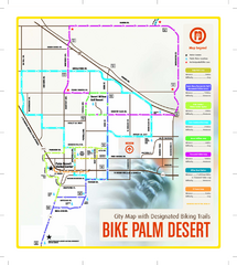
Palm Desert Biking Map
Biking route and trail map of Palm Desert, California
88 miles away
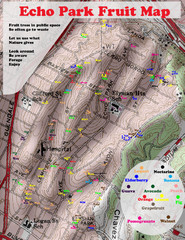
Elysian Park Fruit Map
Shows fruit growing in Elysian Park, Los Angeles (map erroneously calls it Echo Park)
88 miles away

Downtown Anaheim, California Map
Tourist map of Anaheim, California. Shows Disneyland, Anaheim Convention Center, and other points...
88 miles away
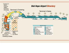
Burbank "Bob Hope" Airport Terminal Map
Official Terminal Map of Bob Hope Airport in Burbank, California. Shows all areas.
89 miles away
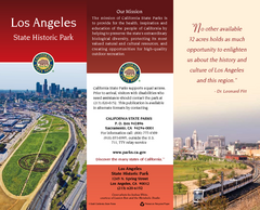
Los Angeles State Historic Park Map
Map of park with detail of trails and recreation zones
89 miles away
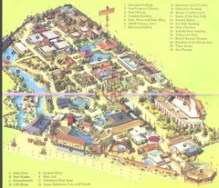
Japanese Village and Deer Park Map
Large and clear map.
89 miles away
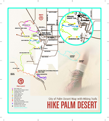
Palm Desert Hiking Trail Map
Trail map of Palm Desert, California. Shows hiking trails leaving right from town
89 miles away

Disneyland Theme Park map
Illustrated map of Disneyland in Anaheim, CA showing different theme parks, hotels, and nearby...
89 miles away

Limestone Canyon & Whiting Ranch Wilderness...
89 miles away
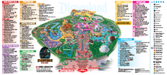
Disneyland Theme Park map
Official map of Disneyland Park. Park includes Main Street USA, New Orleans Square, Frontierland...
90 miles away
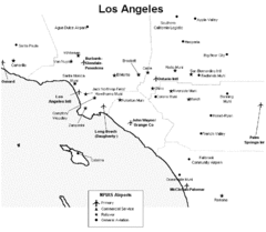
Los Angeles Airport Map
90 miles away
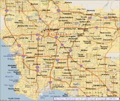
Los Angeles, California City Map
90 miles away
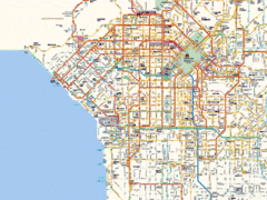
West Los Angeles Starbucks & Chase Map
90 miles away
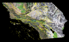
Southern California's Major Faults Map
As you can see by examining a fault map of southern California or a satellite image showing...
90 miles away

