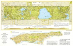
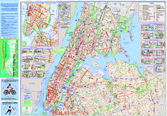
Riverside Park Map
Map of Riverside Park, New York. Illustrates all recreational activities, trails, bus stops and...
0 miles away

Upper West Side Map
printable map of Upper West Side, with major landmarks noted
less than 1 mile away

Upper West Side NYC Map 1879
Likely the first printed map of Manhattan's Upper West Side. Map is titled 'The West End...
less than 1 mile away
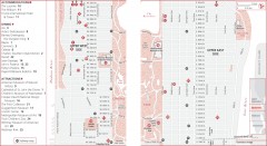
Uptown Manhattan, New York Map
Tourist map of uptown Manhattan in New York City, New York. Attractions, accommodations, and...
less than 1 mile away
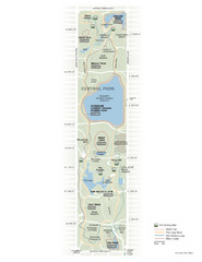
Central Park Fitness Map
Guide to fitness and training in Central Park, New York
1 mile away
Upper Riverside Park Map
Riverside Park Map, Visitor Information as well as streets, bus routes, places to jog and bike.
1 mile away

Floor Plan of the Museum of Natural History, New...
Official Floor Plan of the Museum of Natural History in New York. All areas and exhibits shown.
1 mile away
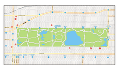
Central Park, New York Map
Central Park, New York map. A very detailed map with all roads, metro station and importand...
1 mile away
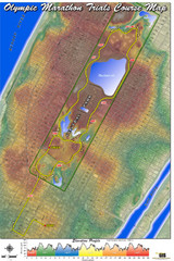
Olympic Trials Course Map
Elevation of the 2008 olympic trials marathon course in New York's Central Park.
1 mile away
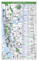
Green Markets in NYC Map
A map of all the green markets in the 5 boroughs of New York City.
1 mile away
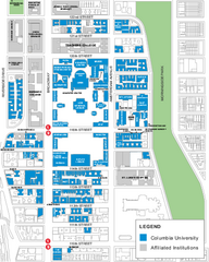
Columbia University Map
Campus map of Columbia University. All buildings shown.
1 mile away
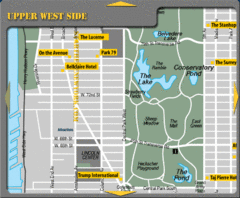
Upper West Side New York Hotel Map
1 mile away
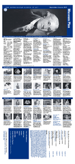
The Metropolitan Museum of Art Floor Plan Map
Official Floor Plan for the Metropoltan Museum of Art in New York City. All areas and exhibits...
1 mile away
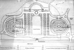
Central Park Conservatory Garden Map
Map of the Conservatory Garden in Central Park, New York City. Photo of outdoor map.
1 mile away
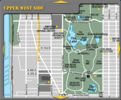
Upper West Side New York Tourist Map
2 miles away

Central Park, New York City Bike Map
2 miles away

Topographical Atlas of the City of New York Map
Topographical Atlas of the City of New York including the annexed territory, showing original water...
2 miles away
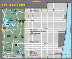
Maison Ave New York City Shopping Map
2 miles away
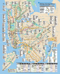
New York City MTA Subway Map
Official subway map for New York City
2 miles away
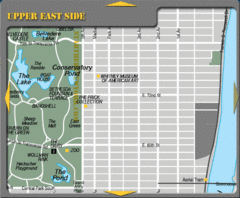
Upper East Side New York Tourist Map
2 miles away

Broadway Elevation Map
Illustrative section of Broadway, from 125th Street to 134th Street, looking east
2 miles away
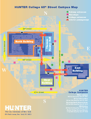
Hunter College Campus Map
Hunter College Campus Map. Located in New York City. Shows all areas.
2 miles away
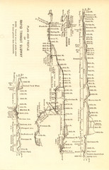
1904 New York City Subway Map
The New York City Subway Map in 1904
2 miles away
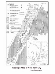
New York City Geological Map
Bedrock map of New York City
2 miles away
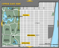
Upper East Side New York Hotel Map
2 miles away
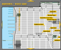
Midtown West Side New York City Hotel Map
2 miles away
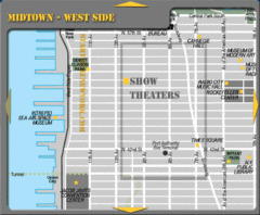
Midtown West Side New York City Map
2 miles away
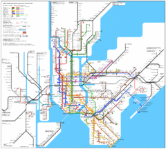
New York Subway Map
The subway and nearby railways in New York City
2 miles away
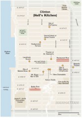
Hells Kitchen tourist map
Detailed tourist map of the Hells Kitchen neighborhood of Manhattan, New York
2 miles away
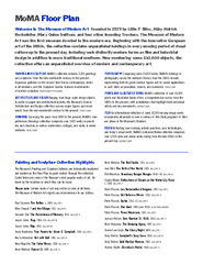
Floor Map of the Museum of Modern Art, New York
Official Floor Map of the MOMA in New York, NY. All floors and exhibits shown.
2 miles away

Manhattan Bus Map
2 miles away
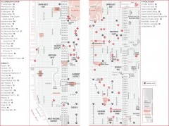
Midtown Manhattan, New York Map
Tourist map of midtown Manhattan in New York City, New York. Shows accommodations, restaurants, and...
2 miles away
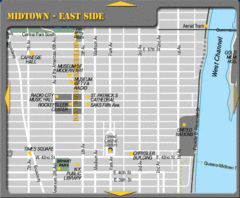
Midtown East Side New York City Map
2 miles away
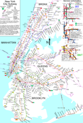
NYC Subway Map (unofficial)
Unofficial subway map of New York City. Created by SPUI.
3 miles away
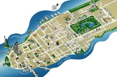
Manhattan Tourist Map
Simplified tourist map of Manhattan. Shows major NYC landmarks.
3 miles away
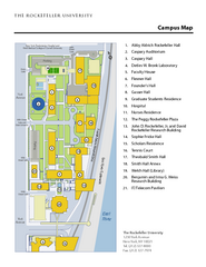
Rockefeller University Campus Map
Campus map of Rockefeller University in New York City.
3 miles away

Midtown East Side New York City Hotel Map
3 miles away

