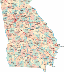
Georgia Road Map
Detailed, colorful road map of the state of Georgia.
0 miles away
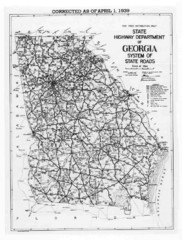
Georgia 1939 Road Map
State Road Map of Georgia in 1939
15 miles away
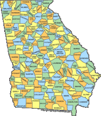
Georgia Counties Map
16 miles away
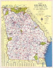
Georgia Road Map
Road map of state of Georgia, 1952
19 miles away
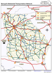
Georgia Transportation Map
33 miles away
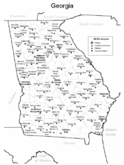
Georgia Tourist Map
33 miles away
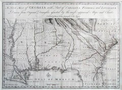
Georgia Map
Map of Georgia circa 1748. Includes Georgia and parts of the Carolinas, Florida and Louisiana.
33 miles away
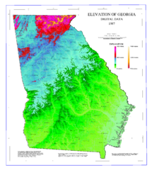
Map of Georgia Elevations
Digital elevation map of Georgia, U.S.
33 miles away
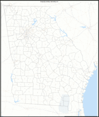
Georgia Zip Code Map
Check out this Zip code map and every other state and county zip code map zipcodeguy.com.
34 miles away
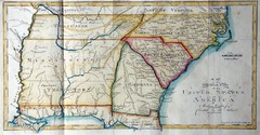
Southern Parts of the US Map
"This map was initially published in Morse's American Gazetteer in 1797 with Georgia...
34 miles away
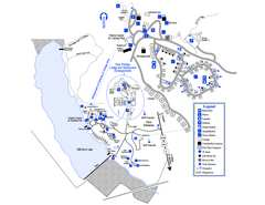
Little Ocmulgee State Park Map
Map of park with detail of trails and recreation zones
38 miles away
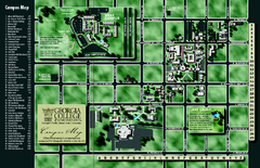
Georgia College Campus Map
Georgia College Campus Map. Shows all areas.
39 miles away
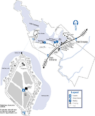
Hamburg State Park Map
Map of park with detail of trails and recreation zones
39 miles away
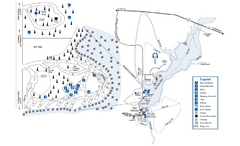
George L. Smith State Park Map
Map of park with detail of trails and recreation zones
44 miles away
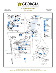
Magnolia Springs State Park Map
Map of park with detail of trails and recreation zones
55 miles away
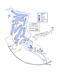
Gordonia-Alatamaha State Park Map
Map of park with detail of trails and recreation zones
57 miles away

Lake Oconee Map
61 miles away
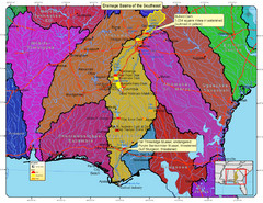
Drainage Basins of the Southeast United States Map
Lakes, rivers and dams in the Apalachicola, Chattahoochee and Flint River System.
63 miles away
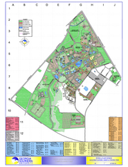
Georgia Southern University Map
Georgia Southern University Campus Map. All buildings shown.
64 miles away
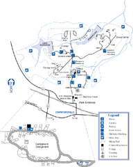
A. H. Stephens Historic Park Map
Map of park with detail of trails and recreation zones
64 miles away
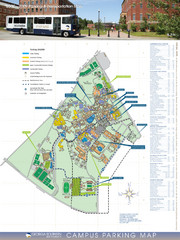
Georgia Southern University Map
Campus Map
64 miles away
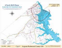
Richmond County Failure Inundation Map
Map of the flood water failure inundation of Augusta Richmond county, Georgia. Includes detailed...
67 miles away
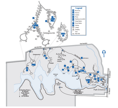
Indian Springs State Park Map
Map of park with detail of trails and recreation zones
75 miles away
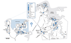
Mistletoe State Park Map
Map of park with detail of trails and recreation zones
75 miles away
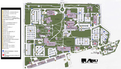
Augusta State University Map
Campus map
75 miles away
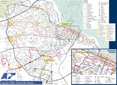
Augusta Public Transit Routes Map
Transit Route Map of the town of Augusta. Includes all streets, some important buildings, and a...
76 miles away
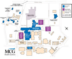
MCG Health System--Medical College of Georgia...
Color-coded map of all buildings on the Medical College of Georgia associated with the MCG Health...
76 miles away
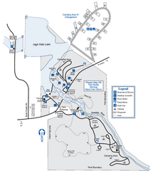
High Falls State Park Map
Map of park with detail of trails and recreation zones
77 miles away
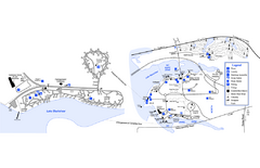
Georgia Veterans State Park Map
Map of park with detail of trails and recreation zones
77 miles away
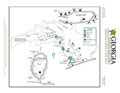
General Coffee State Park Map
Map of park with detail of trails and recreation zones
78 miles away
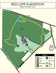
Redcliffe Plantation State Park Map
Clear map of this wonderful state park with a beautiful natural setting.
79 miles away
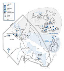
Hard Labor Creek State Park Map
Map of park with detail of trails and recreation zones
82 miles away
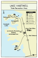
Lake Hartwell State Park Map
Clear state park map.
84 miles away
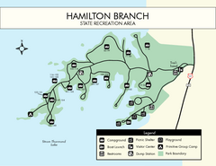
Hamilton Branch State Park Map
Simple state park map.
86 miles away
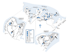
Elijah Clark State Park Map
Map of park with detail of trails and recreation zones
88 miles away

Abraham Balwin Agricultral College Campus Map
89 miles away
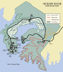
Hickory Knob State Park Map
Detailed map of this beautiful state park.
90 miles away
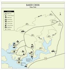
Baker Creek State Park Map
Beautiful park with wonderful views and plenty of wild life.
92 miles away

University of Georgia and Surrounding Area Map
93 miles away
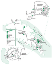
Bobby Brown State Park Map
Map of park with detail of trails and recreation zones
94 miles away


 Explore Maps
 Map Directory
