
Toronto Average House Prices Map
210 miles away
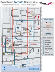
Downtown Toronto Tourist Map
210 miles away
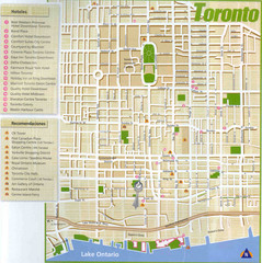
Toronto Tourist Map
210 miles away
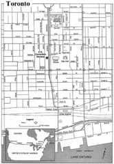
Toronto Tourist Map
210 miles away
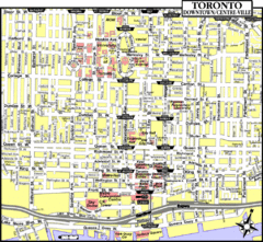
Toronto Tourist Map
210 miles away
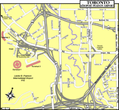
Toronto Airport Map
210 miles away
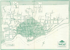
1962 Transit Toronto Guide Map
210 miles away
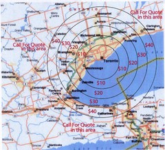
Transportation Rates in Toronto Map
Travel rates in Toronto, Canada
210 miles away
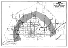
1954 Metro Transit System Map
210 miles away
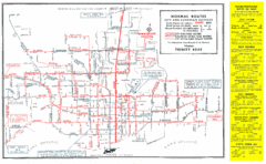
1952 Totonto Transit System Map
210 miles away
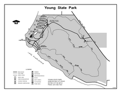
Young State Park, Michigan Site Map
211 miles away
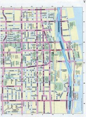
Toronto Canada Downtown Tourist Map
Tourist map for Downtown Toronto, Canada. Street leve map with tourist site highlighted. Subway...
211 miles away
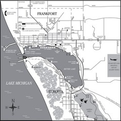
Frankfort-Elberta City Map
City map of Frankfort and Elberta, Michigan on shore of Lake Michigan.
211 miles away
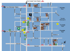
Cabbagetown Tour of Houses Map
211 miles away
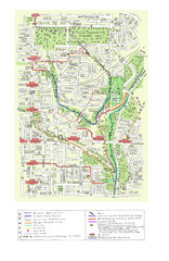
Toronto Brickworks Trail Map
Trail map of area around the Brickworks in Toronto, Canada
211 miles away
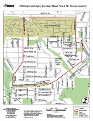
Moore Park Tourist Map
211 miles away
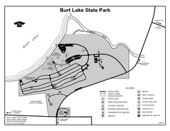
Burt Lake State Park, Michigan Site Map
213 miles away

Empire Michigan Map
214 miles away

Chapman State Park map
Detailed map of Chapman State Park in Pennsylvania
214 miles away
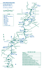
Little Miami State Park map
Detailed recreation map for Little Miami State Park and surrounding area in Ohio
214 miles away

Niagara Falls Map
Photographic Map of Niagara Falls - tourist / visitor information.
215 miles away
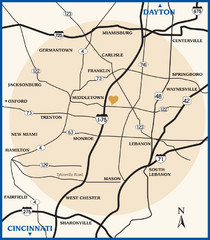
Atrium County Map
Map of Atrium County, Ohio. Includes all roads and towns.
215 miles away
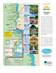
Niagara Garden Trail Map
Tourist map of attractions along the Garden Trail along the Canadian side of the St. Lawrence River...
215 miles away
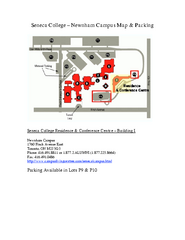
Seneca College - Newnham Campus Map
Seneca College - Newnham Campus Map. Located in Toronto, Canada. Shows all areas.
216 miles away
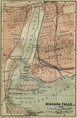
Antique map of Niagara Falls from 1894
"Niagara Falls" from Baedeker, Karl. The Dominion of Canada with Newfoundland and an...
216 miles away

Leland MI Map
216 miles away

Glen Arbor MI Map
216 miles away
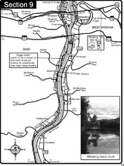
Ohio River at Wheeling, WV and 10 miles downriver...
This is a page from the Ohio River Guidebook. The map shows important information for boaters and...
216 miles away

Glen Arbor MI walking map
216 miles away
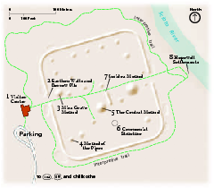
Hopewell Culture National Historical Park...
Official NPS map of Hopewell Culture National Historical Park in Ohio. Map shows all areas. he...
216 miles away
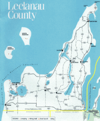
Leelanau County Lake Map
Lakes in Leelanau County.
216 miles away
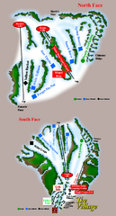
The Homestead Ski Trail Map
Trail map from The Homestead.
217 miles away

Tar Hollow State Park map
Detailed recreation map for tar Hollow State Park in Ohio
217 miles away
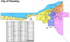
Petoskey Street Map
Street map of Petoskey, Michigan. Official city map.
217 miles away

Sleeping Bear Dunes National Lakeshore Map
217 miles away
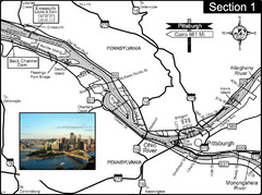
Ohio River at Pittsburgh, PA at the confluence of...
This is a page from the Ohio River Guidebook. The Ohio River begins at this confluence. This map...
218 miles away

Northport MI Map
218 miles away
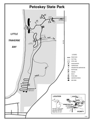
Petoskey State Park, Michigan Site Map
218 miles away
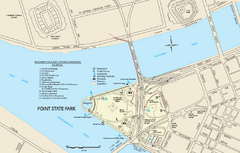
Point State Park Map
Recreation map for Point State Park in Pennsylvania
219 miles away
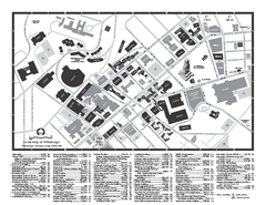
University of Pittsburgh - Main Campus Map
University of Pittsburgh - Main Campus Map. All buildings shown.
219 miles away

