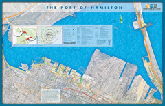
Port of Hamilton Map
Shows piers and tenants of Port of Hamilton, Ontario
181 miles away
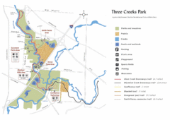
Three Creeks Park Map
181 miles away
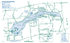
Buckeye Lake State Park map
Detailed recreation map for the Buckeye Lake area in Ohio
182 miles away
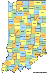
Indiana Counties Map
182 miles away
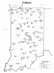
Indiana Airports Map
182 miles away
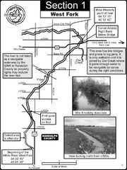
Winchester, IN Beginning of the White River-West...
This is a page from the White River Guidebook. The map shows important information for boaters and...
182 miles away
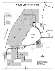
Silver Lake State Park, Michigan Site Map
184 miles away
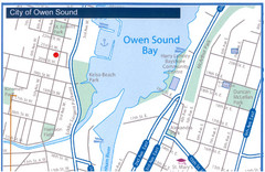
Owen Sound Map
Street map of Owen Sound
184 miles away

Rattlesnake Point Trail Map
185 miles away
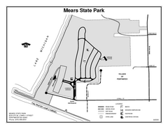
Mears State Park, Michigan Site Map
185 miles away
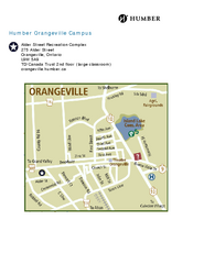
Humber College Orangeville Campus Map
Humber College Orangeville Campus Map. Shows all areas.
186 miles away
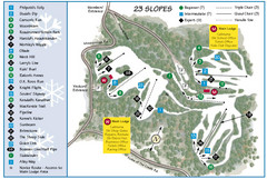
Caledon Ski Club Ski Trail Map
Trail map from Caledon Ski Club, which provides downhill skiing. This ski area has its own website.
186 miles away
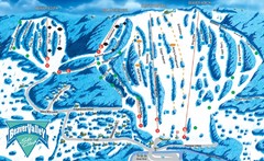
Beaver Valley Ski Trail Map
Trail map from Beaver Valley, which provides downhill skiing. This ski area has its own website.
187 miles away
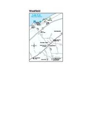
Westfield Map
Tourist map of Westfield, New York, and surrounding area. Shows shops, museums, boat ramps and...
187 miles away
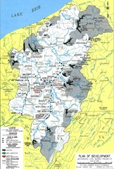
Pittsburgh District Development Map
Authorized Civil works projects for the Pittsburgh District marked as completed or in progress.
188 miles away
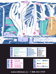
Talisman Mountain Resort Ski Trail Map
Trail map from Talisman Mountain Resort, which provides downhill skiing. This ski area has its own...
188 miles away
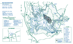
Salt Fork State Park map
Detailed recreation map for Salt Ford State Park in Ohio
189 miles away
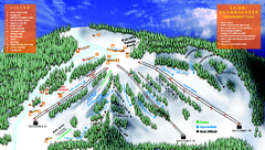
Treetops Sylvan Resort Ski Trail Map
Trail map from Treetops Sylvan Resort.
189 miles away
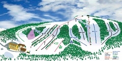
Hockley Valley Resort Ski Trail Map
Trail map from Hockley Valley Resort, which provides downhill skiing. This ski area has its own...
190 miles away
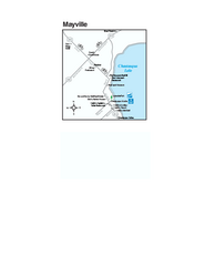
Downtown Mayville Map
Tourist map of Downtown Mayville, New York. Shows museums, restaurants, shops, government buildings...
191 miles away
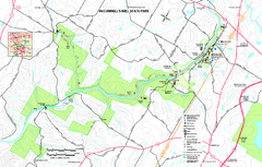
McConnells Mill State Park map
Detailed recreation map for McConnells Mill State Park in Pennsylvania
191 miles away
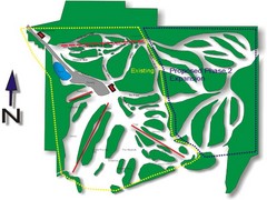
Cedar Highlands Ski Trail Map
Trail map from Cedar Highlands.
193 miles away
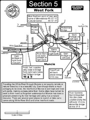
Muncie, IN White River West Fork Map
This is a page from the White River Guidebook. The map shows important information for boaters and...
194 miles away
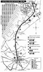
Little Miami Scenic Trail Map
Map of the Little Miami Scenic Trail biking route from Xenia, Ohio to Yellow Springs, Ohio. Shows...
194 miles away
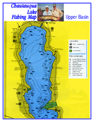
North Chautauqua Lake Fishing Map
Fishing map of northern Chautauqua Lake, New York. Shows marinas, boat ramps, state parks, and...
194 miles away
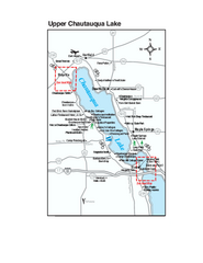
Upper Chautauqua Lake Map
Tourist map of upper Chautauqua Lake, New York. Shops, lodging, and other points of interest in the...
194 miles away
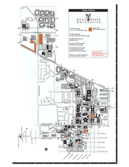
Ball State University Map
Ball State University Campus Map. All buildings shown.
194 miles away
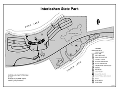
Interlochen State Park, Michigan Site Map
195 miles away
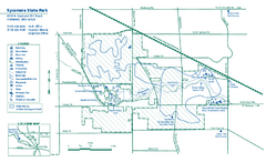
Sycamore State Park map
Detailed recreation map for Sycamore State Park in Ohio.
195 miles away
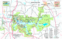
Moraine State Park map
Detailed recreation map for Moraine State Park in Pennsylvania
195 miles away

Dayton, Ohio City Map
196 miles away
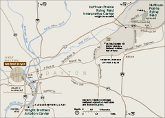
Dayton Aviation Heritage National Historical Park...
Official NPS map of Dayton Aviation Heritage National Historical Park in Ohio. Dayton Aviation...
196 miles away
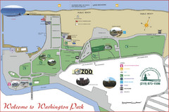
Washington Park Map
196 miles away

Shanty Creek Ski Trail Map
Trail map from Shanty Creek.
196 miles away
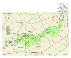
Oil Creek State Park map
Detailed recreation map for Oil Creek State Park in Pennsylvania
196 miles away
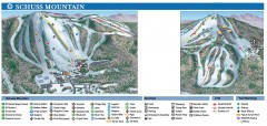
Shanty Creek Ski Trail Map
Official ski trail map of Shanty Creek ski area from the 2007-2008 season. Shows Schuss Mountain.
196 miles away
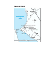
Bemus Point Map
Tourist map of Bemus Point, NY. Shows lodging, parks, shops, restaurants, and other points of...
197 miles away
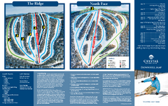
Crystal Mountain Ski Trail Map
Trail map from Crystal Mountain.
198 miles away
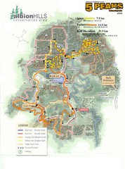
Albion Hills Running Course Map
Map shows the Enduro Course, Sport Course and Half Marathon Course for the 5 Peaks trail running...
198 miles away

Lake Michigan Depths Map
198 miles away

