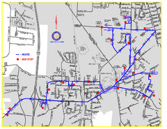
Berea Bus Route Map
344 miles away
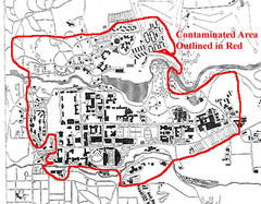
Map of Water contamination at Cornell University...
345 miles away
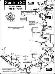
Petersburg, IN White River West Fork Map
This is a page from the White River Guidebook. The map shows important information for boaters and...
345 miles away
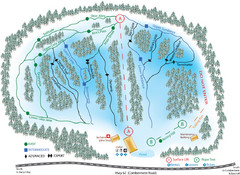
Madawaska Valley (Radcliffe Hills) Ski Trail Map
Trail map from Madawaska Valley (Radcliffe Hills), which provides downhill skiing.
345 miles away

Chesapeake & Ohio Canal National Historical...
Official NPS map of Chesapeake & Ohio Canal National Historical Park in Pennsylvania, West...
345 miles away

1978 Bradford County, Pennsylvania Map
345 miles away
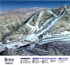
Bryce Resort Ski Trail Map
Trail map from Bryce Resort.
346 miles away

ILO Dillin Habitat Area, Illinois Site Map
346 miles away
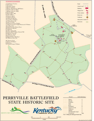
Perryville Battlefield State Historic Site Map
Map of trails and interpretive markers for the historical site of Perryville Battlefield.
346 miles away
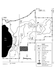
Pike Lake Map
Detailed trail map of area surrounding Pike Lake.
346 miles away
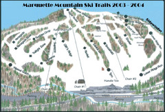
Marquette Mountain Ski Trail Map
Trail map from Marquette Mountain.
346 miles away

Vicennes and Knox County Indiana Visitor Map
Street map of Vicennes with maps of the entire state and county as well.
347 miles away
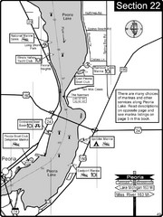
Peoria, IL Illinois River/Peoria Lake Map
For boating navigation and river road travel on the Illinois River.
347 miles away
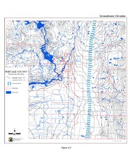
Groundwater Elevation of Portage County Map
Using the water table elevation map, generalized groundwater flow directions can be estimated.
347 miles away
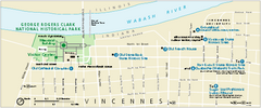
George Rogers Clark National Historical Park...
Official NPS map of George Rogers Clark National Historical Park in Indiana. Map shows all areas...
347 miles away
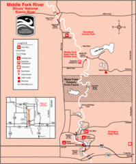
Middle Fork River Park, Illinois Site Map
348 miles away
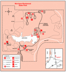
Morrison-Rockwood State Park, Illinois Site Map
348 miles away
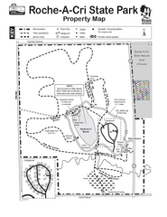
Roche A Cri State Park Map
Marked hiking trails for this State Park easily read on this map.
348 miles away
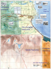
Marquette Trail Map
Trail and road map of Marquette and surrounding area
348 miles away

Marcellus Snowmobile Trail Map
Map of snowmobile trails throughout Marcellus area
348 miles away
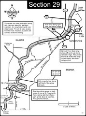
Vincennes, IN/ St. Francisville, IL Wabash River...
This is a page from the Wabash River Guidebook. The map shows important information for boaters and...
348 miles away

Caledonia State Park map
Detailed map of Caledonia State Park area in Pennsylvania.
348 miles away
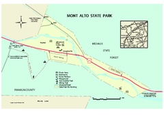
Mont Alto State Park Map
Detailed recreation map for Mont Alto State Park in Pennsylvania
349 miles away
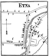
Etna 1897 City Map
Key to the Map of Etna (1897) 1. Mrs. C. Turner. 38. Blacksmith Shop. 2. J. T. Primrose. 39. Houtz...
349 miles away
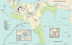
Worlds End State Park map
Detailed recreation map for Worlds End State Park in Pennsylvania
349 miles away
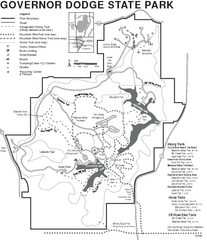
Governor Dodge State Park Map
Bike, Horse, trek, and recreational locations marked on this map.
351 miles away
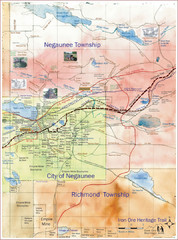
Negaunee Trail Map
Trail and street map of Negaunee are
351 miles away
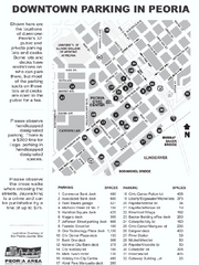
Parking in Downtown Peoria, Illinois Map
Tourist map of downtown Peoria, Illinois, showing locations of public parking.
352 miles away
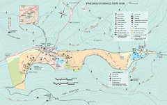
Pine Grove Furnace State Park map
Detailed recreation map for Pine Grove Furnace State Park in Pennsylvania
352 miles away
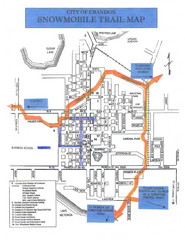
Crandon Snowmobile Trail Map
Snowmobile trail map of Crandon, Wisconsin on Lake Menlonga.
353 miles away
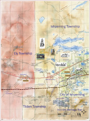
Ishpeming Trail Map
Trail and road map for Ishpeming and surrounding area
353 miles away

Map of Armenia and Nagorny Karabakh
Map of Armenian states - the Republic of Armenia and the Nagorno-Karabakh Republic
353 miles away
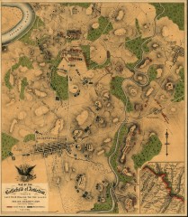
Antietam Battlefield Map
Map of the battlefield of Antietam/Sharpsburg. Shows Union and "Rebel" forces on...
354 miles away
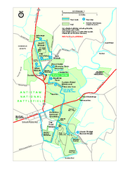
Antietam National Battlefield Official Map
Official NPS map of Antietam National Battlefield in Maryland. Open all year.
355 miles away
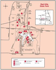
Red Hills, Illinois State Park Site Map
355 miles away
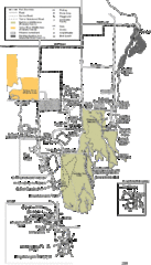
Buckhorn State Park Map
Hiking trails and fun locations marked on this map.
356 miles away
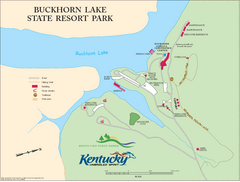
Buckhorn Lake State Resort Park Map
Map of Trails and Facilities of Buckhorn Lake State Resort Park.
356 miles away
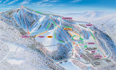
Winterplace Ski Resort Ski Trail Map
Trail map from Winterplace Ski Resort.
357 miles away
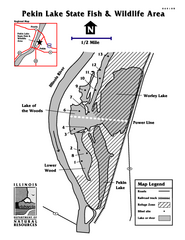
Pekin Lake, Illinois Site Map
357 miles away

