
Rock Cut State Park Map
Trail map of Rock Cut State Park in Winnebago County, Illinois.
294 miles away
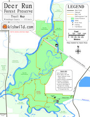
Deer Run Forest Preserve Map
Trail map of Deer Run Forest Preserve in Winnebago County, Illinois.
294 miles away
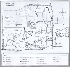
Rock Cut State Park, Illinois Site Map
294 miles away
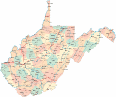
West Virginia Road Map
West Virginia Road Map
294 miles away
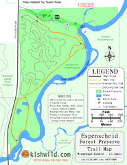
Espenscheid Forest Preserve Map
Trail map of Espenscheid Forest Preserve in Winnebago county, Illinois.
294 miles away

Bath-Hornell Bus Route Map
294 miles away
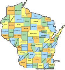
Wisconsin Counties Map
294 miles away
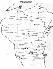
Wisconsin Airports Map
294 miles away
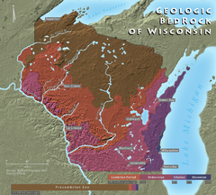
Wisconsin Geologic Bedrock Map
Relief map of geologic bedrock in Wisconsin with cities labeled
294 miles away

West Virginia Counties Map
294 miles away
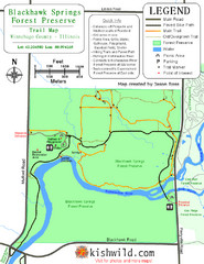
Blackhawk Springs Forest Preserve Map
Trail map of Blackhawk Springs Forest Preserve in Winnebago County, Illinois.
295 miles away
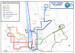
Beloit Bus Routes Map
295 miles away
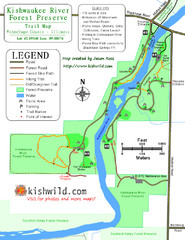
Kishwaukee River Forest Preserve Map
Trail map of Kishwaukee River Forest Preserve in Winnebago county, IL.
296 miles away
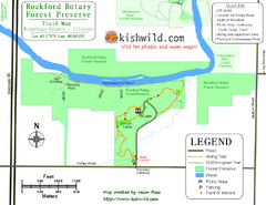
Rockford Rotary Forest Preserve Map
Trail map of Rockford Rotary Forest Preserve in Winnebago County, IL.
296 miles away
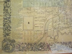
Beloit City Map
City map of Beloit, Wisconsin SW from 1858
296 miles away

Bristol Mountain Ski Resort Ski Trail Map
Trail map from Bristol Mountain Ski Resort.
297 miles away
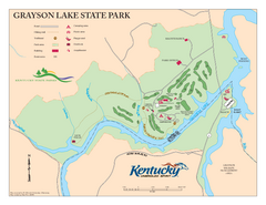
Grayson Lake State Park Map
Map of trails, facilities and golf course in Grayson Lake State Park.
297 miles away

Kishwaukee Gorge Forest Preserve Map
Trail map of Kishwaukee Gorge Forest Preserve in Winnebago County, Illinois.
297 miles away
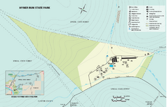
Hyner Run State Park map
Detailed recreation map for Hyner Run State Park in Pennsylvania
297 miles away
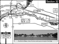
Ottawa, IL Illinois River/Fox River Map
For boating navigation and river road travel on the Illinois River. Shows confluence of the Fox...
298 miles away
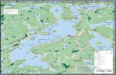
Kennisis Lakes Map
Panoramic topo map of Kennisis Lakes region
298 miles away
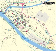
Charleston WV City Map
City map of downtown Charleston, West Virginia. Shows points of interest.
298 miles away
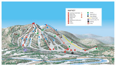
Searchmont Resort Ski Trail Map
Trail map from Searchmont Resort, which provides downhill skiing. This ski area has its own website.
299 miles away
Sir Sam’s Ski Area Ski Trail Map
Trail map from Sir Sam’s Ski Area, which provides downhill skiing. This ski area has its own...
299 miles away
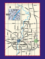
Rockford, Illinois Map
Tourist map of Rockford, Illinois. Museums, parks, hotels and other points of interest are shown.
299 miles away
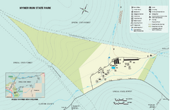
Hyner View State Park map
Detailed map of Hyner View State Park in Pennsylvania
300 miles away
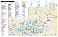
Pennsylvania State University - University Park...
Campus map of Pennsylvania State University - University Park. All buildings shown.
301 miles away
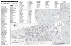
Penn State - University Park Campus Map
Official campus map of the Penn State University Park Campus, 2007-08. Located in the heart of...
301 miles away
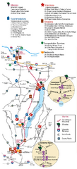
Canadaigua Wine Trail Map
Map of the Canadaigua Wine Map in Canadaigua, New York. Shows all wineries and vineyards in the...
301 miles away
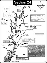
Terre Haute, IN Wabash River Map
This is a page from the Wabash River Guidebook. The map shows important information for boaters and...
301 miles away

Leonard Harrison State Park Map
Detailed map for Leonard Harrison State Park in Pennsylvania.
301 miles away
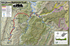
Trailmap72dpi Big Map
Detailed map of Allegheny Highland Trails and surrounding locations.
302 miles away

Warriors Path State Park Map
Detailed recreation map for Warriors Path State Park in Pennsylvania.
303 miles away
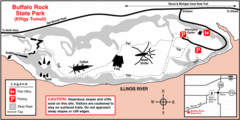
Buffalo Rock State Park, Illinois Site Map
304 miles away

Trough Creek State Park map
Detailed recreation map for Trough Creek State Park in Pennsylvania
304 miles away

Whipple Dam State Park map
Detailed recreation map for Whipple Dam State Park in Pennsylvania
304 miles away
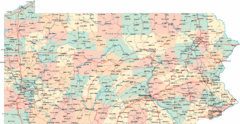
Pennsylvania Road Map
Pennsylvania detailed road map
305 miles away
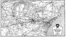
Pennsylvania Railroad System Map
Pennsylvania Railroad system map
305 miles away
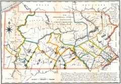
Pennsylvania Survey Map 1791
Survey Map 1791
305 miles away
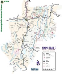
Randolph County Trail Map
Hiking trails map
306 miles away

