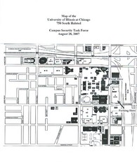
University of Illinios at Chicago Campus Map
231 miles away
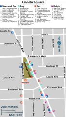
Chicago Lincoln Square Map
231 miles away
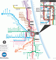
Chicago Train Map
Official map of the Chicago Rail System. CTA's Rail System has seven branches, differentiated...
231 miles away
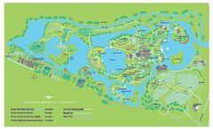
Chicago Botanic Garden Map
231 miles away
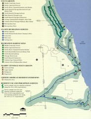
Map of Chicago River with Emphasis on...
A map of the Chicago River with the emphasis on human use and awareness of the river.
231 miles away
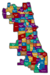
Chicago Neighborhood Map
231 miles away
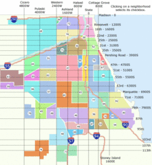
Chicago Neighborhood Map
231 miles away
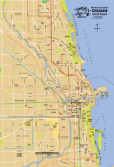
Chicago Neighborhood Map
231 miles away
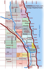
Chicago Neighborhood Map
231 miles away
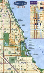
Chicago Bike Map
231 miles away
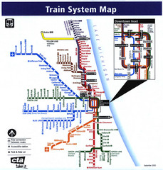
Chicago Train System Map
231 miles away
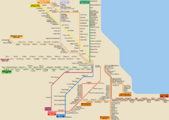
Chicago Public Transportation Map
231 miles away
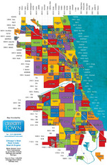
Chicago Neighborhoods Map
Map of Chicago identifying the different neighborhoods in the city
231 miles away
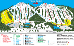
Mount St. Louis/ Moonstone Ski Trail Map
Trail map from Mount St. Louis/ Moonstone, which provides downhill skiing. This ski area has its...
231 miles away
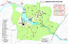
Ryerson Station State Park map
Detailed recreation map of Ryerson Station State Park in Pennsylvania
232 miles away
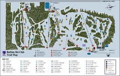
Buffalo Ski Club Trail Map
232 miles away
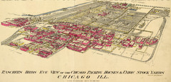
Chicago Meatpacking District and Stockyards (1890...
Charles Rascher's illustration of the Chicago meatpacking district in 1890.
232 miles away
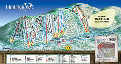
HoliMont Ski Trail Map
Trail map from HoliMont.
233 miles away
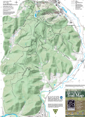
Ellicottville Area Trail Map
Shows mountain biking trails in the Holiday/Holimont/McCarty Hill/Rock City area south of...
233 miles away
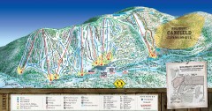
Holimont Ski Trail Map
Official ski trail map of Holimont ski area from the 2006-2007 season.
233 miles away
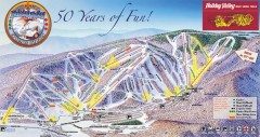
Holiday Valley Ski Trail Map
Official ski trail map of Holiday Valley ski area from the 2007-2008 season.
233 miles away
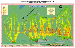
Kissing Bridge Ski Slope Map
Map of Kissing Bridge ski area; shows steepness of slopes with color-coding.
233 miles away
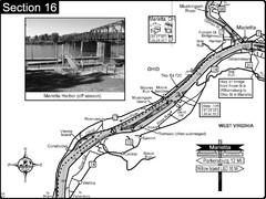
Ohio River at Marietta, OH and 8 miles downriver...
This is a page from the Ohio River Guidebook. The map shows important information for boaters and...
233 miles away
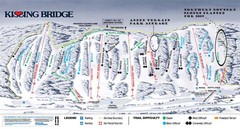
Kissing Bridge Ski Trail Map
Trail map from Kissing Bridge.
233 miles away
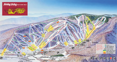
Holiday Valley Resort Ski Trail Map
Trail map from Holiday Valley Resort.
233 miles away
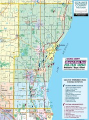
Ozaukee County Interurban Trail Map
Map of on and off trail key birding spots
233 miles away
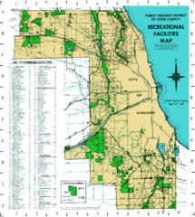
Cook County Recreation Map
Map of forest preserve recreational facilities in Cook County, Illinois.
233 miles away

Holiday Valley and Holimont Ski Area Map
WNYMBA - Mountain bike trail guide to ski area
233 miles away

North Branch Bicycle Trail Map
234 miles away
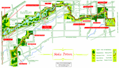
Skokie Division Map
Map of Skokie Division forests and trails, Cook County, IL
234 miles away
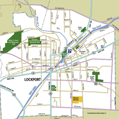
Lockport, New York Map
Map of downtown Lockport, New York, with parks, hospitals, and other points of interest shown.
235 miles away
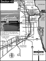
Chicago, IL Sanitary & Ship Canal/Chicago...
This is the beginning of the Illinois Waterway that connects Lake Michigan to the Mississippi River...
235 miles away

Ski Dagmar Ski Trail Map
Trail map from Ski Dagmar, which provides downhill and nordic skiing. This ski area has its own...
235 miles away

Thorn Creek Trail Map
235 miles away
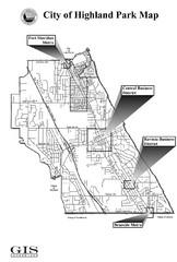
Highland Park City Map
City Map of Highland Park, Illinois
235 miles away

Ski Lakeridge Ski Trail Map
Trail map from Ski Lakeridge, which provides downhill skiing. This ski area has its own website.
235 miles away

North Branch Trail Map
Picnic Areas and Trail Map
235 miles away
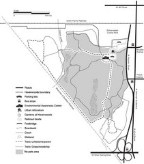
Havenwoods State Forest Map
Hiking trails and bus stops marked on this map.
235 miles away
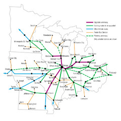
Midwest Direct Route Map
The most direct routes in the Midwest United States
236 miles away

