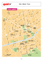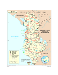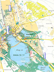
Tatai Öreg-tó Map
381 miles away
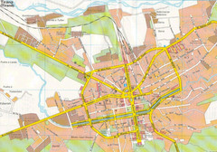
Tirane City Tourist Map
Information, hospitals and places of interest.
384 miles away
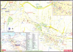
Bursa environs Map
384 miles away
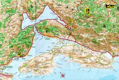
Kotor Bay Tourist Map
Tourist Map of Bay of Kotor, Montenegro.
384 miles away
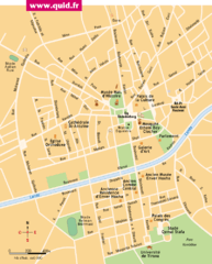
Tirana Map
384 miles away
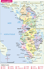
albanie Map
384 miles away
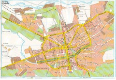
Tiranë Street Map
Street map of central Tirane (Tirana), Alabania. Scanned.
384 miles away
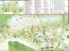
Bursa Map
384 miles away
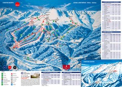
Jasná Ski Trail Map
Trail map from Jasná.
385 miles away

Montenegro Coast Map
Panoramic map of the coast of Montenegro on the Adriatic Sea.
386 miles away
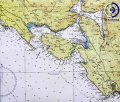
Bay of Boka Map
386 miles away
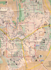
Veszprem City Map
City map of Veszprem, Hungary. Scanned.
387 miles away
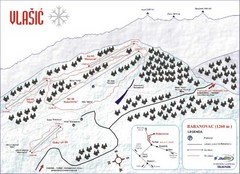
Vlasic Ski Trail Map
Trail map from Vlasic.
387 miles away
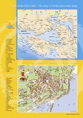
Boka Kotorska Bay and Herceg Novi Tourist Map
Tourist map of the bay of Boka Kotorska and old town Herceg Novi. In Croatian and English.
388 miles away
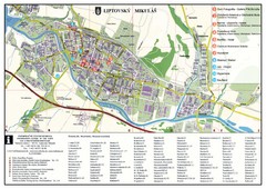
Liptovsky Mikulas Tourist Map
Tourist map of Liptovsky Mikulas, Slovakia
389 miles away
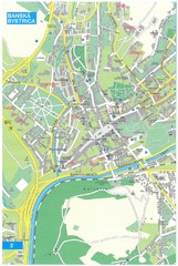
Banska Bystrica Tourist Map
Tourist map of central Banska Bystrica, Slovakia. Shows points of interest. Scanned.
390 miles away
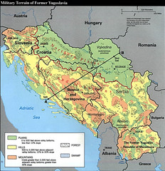
Bosnia and Herzegovina Military Terrain Map
Map of military terrain of former Yugoslavia
391 miles away
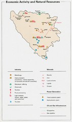
Bosnia and Herzegovina Economic Activity Map
Map of economic activity throughout Bosnia and Herzegovina
391 miles away
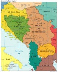
Central Balkan Political Map
391 miles away
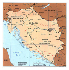
West Balkan States Tourist Map
391 miles away
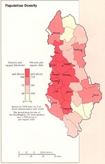
Albania Population Map
Population density map of Albania
393 miles away

Ukraine Places of Interest Map
Overview map of Ukraine. Shows places of interest. Inset map shows administrative and territorial...
395 miles away
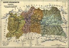
1910 Hungarian Map
Guide to area of Slovakia, previously part of Hungary
397 miles away
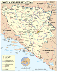
Bosnia and Herzegovina Map
Guide to Bosnia and Herzegovina
397 miles away
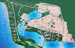
Saki Tourist Map
Tourist map of Saki, Ukraine. Shows points of interest.
398 miles away
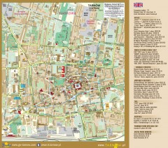
Tarnow Tourist Map
Tourist map of the center of Tarnow, Poland
399 miles away
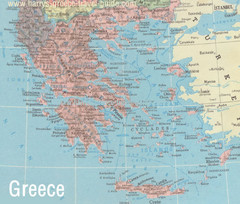
Big Greece Map
400 miles away
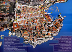
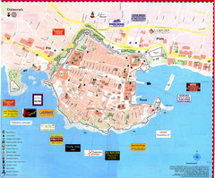
Old Town Dubrovnik Tourist Map
Tourist map of old town Dubrovnik, Croatia. Shows churches, forts, squares, and other points of...
403 miles away
Dubrovnik Map
403 miles away
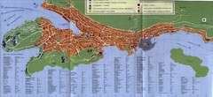
Dubrovnik City Map
City map of Dubrovnik, Croatia. Street index and shows services. Scanned.
403 miles away
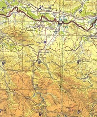
Banja Luka Region Map
404 miles away
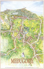
Medjugorje Tourist Map
Tourist map of town of Medjugorje, Bosnia & Herzegovina.
407 miles away
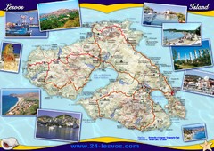
Lesvos (Lesbos) Tourist Map
Tourist map of island of Lesbos (Lesvos), Greece. In English and Greek. Shows points of interest...
408 miles away
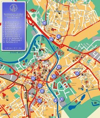
Nitra City Map
City map of central Nitra, Slovakia
414 miles away
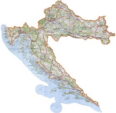
Croatia Tourist Map
Map of Croatia's roads, cities, and areas
415 miles away
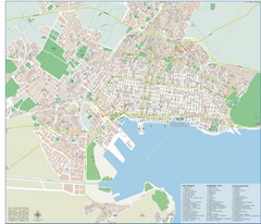
Volos Tourist Map
Tourist map of Volos, Greece. Shows points of interest and some conference info.
416 miles away
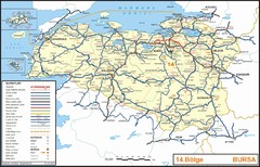
Bursa Region Highways Map
418 miles away

