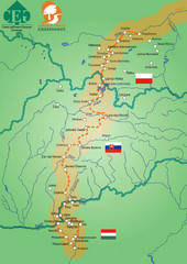
Amber Trail Budapest-Krakow Map
Amber Trail map showing the trail from Budapest to Krakow where you will see several heritage sites.
348 miles away
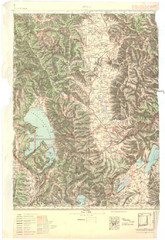
Bitola Region Topo Map
Topo map of the region surrounding Bitola, Macedonia.
348 miles away
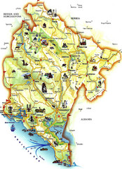
Montenegro Tourist Map
Tourist Map of Montenegro identifing tourist sites, roads and cities.
349 miles away
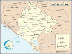
Montenegro map
349 miles away
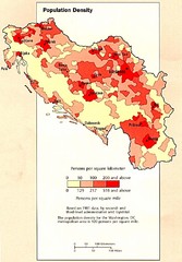
Yugoslavian Population Map
This map clearly marks Yugoslavia's distribution of its population.
350 miles away
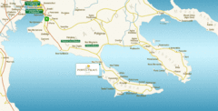
Chalkidiki Map
Map of Chalkidiki, Greece region showing 3 peninsulas.
351 miles away
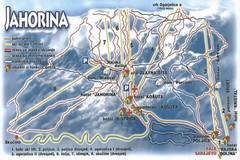
Jahorina Ski Trail Map
Trail map from Jahorina.
351 miles away
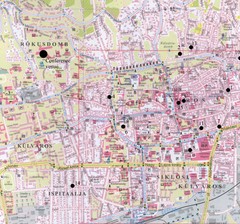
Pecs City Map
356 miles away
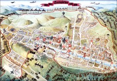
Sarajevo Survival Map 1992-1996
From creator famainternational.com: " Sarajevo Survival Map 92-96 is the ultimate visual...
356 miles away
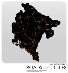
Montenegro Roads and Cities Map
Simple Map of Roads and Cities in Montenegro
357 miles away
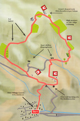
Sikia Circular Walk Map
Map of a circular walk from Sikia. 4 hours. From agrotravel.gr: "This walk takes one on a...
357 miles away
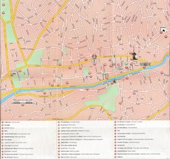
Sarajevo Downtown Map
Free tourist map of downtown Sarajevo from Sarajevo Navigator Brochure
360 miles away
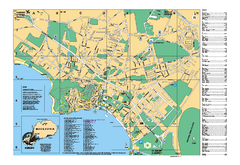
Ohrid tourist map
City of Ohrid - travel map. City names, places of interest.
361 miles away
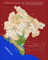
Montenegro precise Map
361 miles away

Slavonski Brod Tourist Map
Map of Slavonski Brod, Croatia showing streets, hotels, restaurants and tourist attractions.
362 miles away
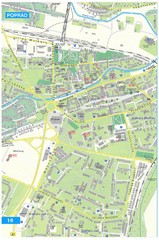
Poprad Tourist Map
Tourist map of Poprad, Slovakia. Shows points of interest.
366 miles away
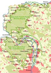
Duna-Ipoly Nemzeti Park Map
Overview map of Duna-Ipoly Nemzeti Park (Danube-Ipoly National Park) north of Budapest, Hungary
366 miles away
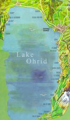
Lake Ohrid Tourist Map
Tourist map of Lake Ohrid in Macedonia. Shows points of interest around the lake
367 miles away
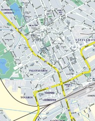
Székesfehérvár City Map
City Map of Székesfehérvár
367 miles away
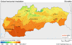
Solar Radiation Map of Slovakia
Solar Radiation Map Based on high resolution Solar Radiation Database: SolarGIS. On the Solar Map...
367 miles away
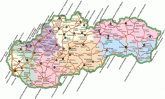
Slovakia Map
367 miles away
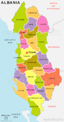
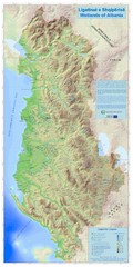
Map of Albania
367 miles away
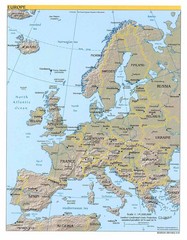
Europe relief Map
Map of Europe showing mountains, cities, countries and borders
369 miles away
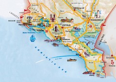
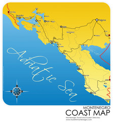
Montenegro coastal Map
370 miles away
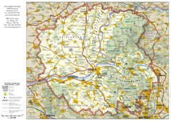
Duna-Ipoly Nemzeti National Park Map
Reference map of Duna-Ipoly Nemzeti National Park and surrounding area north of Budapest, Hungary
374 miles away
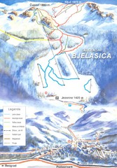
Bjelasica Ski Trail Map
Trail map from Bjelasica.
375 miles away
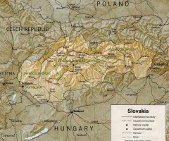
Slovakia country map
Map of Slovakia with surrounding countries. Shows boundaries, major cities, and shaded with...
376 miles away
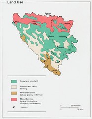
Bosnia and Herzegovina Land Use Map
Map of Bosnia's land use
377 miles away

Uludağ University Campus Map
379 miles away
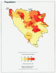
Bosnia and Herzegovina Population Density Map
Map of Bosnia and Herzegovina's population density
379 miles away
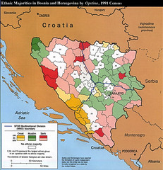
Ethnic Majorities in Bosnia and Herzegovina Map
379 miles away
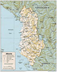
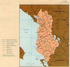
Albanian map
380 miles away
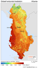
Solar Radiation Map of Albania
Solar Radiation Map Based on high resolution Solar Radiation Database: SolarGIS. On the Solar Map...
380 miles away
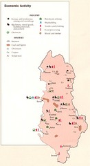
Albania Economic Activity Map
Map of Albania's economic activity
380 miles away
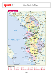
Albania Regional Map
Country map with detail of regional divides
380 miles away

