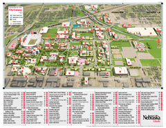
University of Nebraska - Lincoln Map
Campus Map of the University of Nebraska - Lincoln Campus. All areas shown.
0 miles away
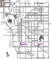
Lincoln, Nebraska City Map
less than 1 mile away
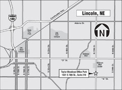
Lincoln, Nebraska Map
1 mile away
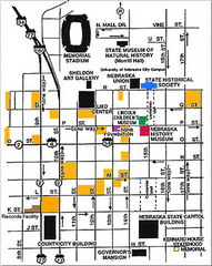
Downtown Lincoln, Nebraska Map
Red is the Nebraska History Museum. School bus parking is on the west side of 15th Street in front...
1 mile away
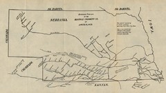
Skimming Stations of the Beatrice Creamery...
"Skimming Stations of the Beatrice Creamery Co. of Lincoln, Neb." From Report of the...
1 mile away
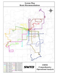
Lincoln Bus Map
1 mile away
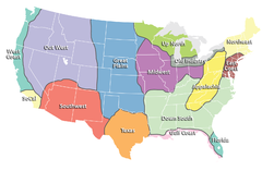
Regions of the United States Map
Appalachia- Hills, hills and more hills. Appalachian landforms contribute to landscapes of...
42 miles away
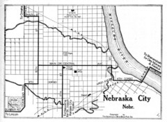
Nebraska City 1920 Map
45 miles away
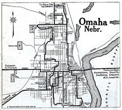
Omaha Nebraska 1920 Map
48 miles away
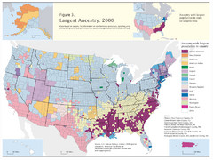
Census 2000 Data Top US Ancestries by County Map
Guide to Ancestries in the US
50 miles away
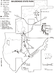
Waubonsie State Park Map
Map of trails and park facilities in Waubonsie State Park.
54 miles away

Wilson Island State Recreation Area Map
Map of trails, boat ramps and park facilities in Wilson Island State Recreation Area.
59 miles away
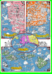
A MAD Pictorial Map of the United States - Back...
I found these raw assembled scans in a dieing torrent in 2010. Hash code...
73 miles away
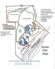
Bader Park Map
76 miles away
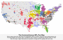
NFL Fan Bases Map
Shows US fan bases of NFL teams
86 miles away
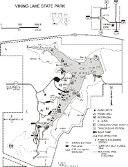
Viking Lake State Park Map
Map of trails, lake depths, fishing spots and park facilities in Viking Lake State Park.
88 miles away
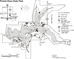
Prairie Rose State Park Map
Map of trails, lake depths, fishing spots and park facilities in Prairie Rose State Park.
94 miles away
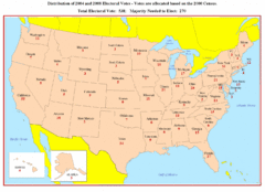
Electoral Votes by State Map
Electoral vote distribution by state
96 miles away
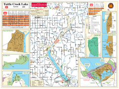
Tuttle Creek Lake Map
Army Corps of Engineers Map of Tuttle Creek Lake and adjoining State Parks.
102 miles away
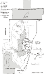
Lake of Three Fires State Park Map
Map of trails, hunting areas and lake access in Lake of Three Fires State Park.
106 miles away
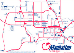
Manhattan (Kansas) City Map
City Map of Manhattan, Kansas including Kansas State University
112 miles away
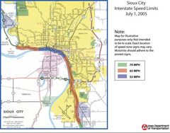
Sioux City, Iowa City Map
117 miles away

Stone State Park Map
Map of trails and park facilities in Stone State Park.
121 miles away
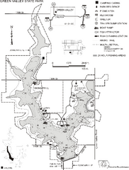
Green Valley State Park Map
Map of trails, lake depths, fishing spots and park facilities for Green Valley State Park.
123 miles away
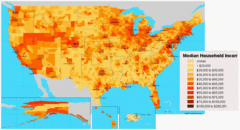
USA Income Map
States Income Inequality Map with color-coded key.
126 miles away
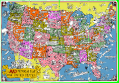
A MAD Pictorial Map of the United States - Front...
I found these raw assembled scans in a dieing torrent in 2010. Hash code...
130 miles away

Snow Creek Ski Trail Map
Trail map from Snow Creek.
131 miles away
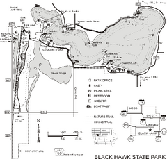
Black Hawk State Park Map
Map of trails, lake depths and facilities for Black Hawk State Park.
134 miles away
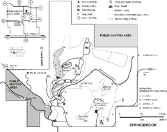
Springbrook State Park Map
Map of trails, hunting and fishing areas, and park facilities in Springbrook State Park.
134 miles away
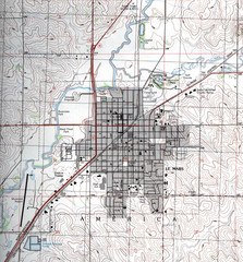
Lemars Iowa Topo Map
USGS topo map of Lemars, Iowa
139 miles away
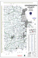
Leavenworth County Road Map
County road map of Leavenworth County, Kansas
140 miles away

University of Kansas Bus Route Map
150 miles away
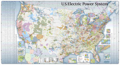
US Electric Power System Map
Map showing the US electric power system. from site: "shows power generation and transmission...
150 miles away
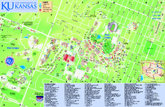
University of Kansas - Main Campus Map
University of Kansas - Main Campus Map. All areas shown.
151 miles away
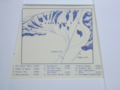
Devil’s Nest Devil’s Nest Ski Trail Map
Trail map from Devil’s Nest. This ski area opened in 1972.
152 miles away
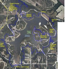
Psycho Psummer Run (Past Course) Map
153 miles away
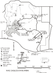
Nine Eagles State Park Map
Map of trails, lake depth and park facilities in Nine Eagles State Park.
155 miles away
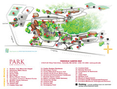
Park University Map
Campus map of Park University. With campus directory.
155 miles away
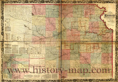
Kansas Railroad Map 1867
Here for your perusal is a sectional map of the state of Kansas showing the route of the Union...
156 miles away
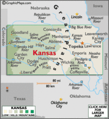
Kansas Elevations Map
156 miles away


 Explore Maps
 Map Directory
