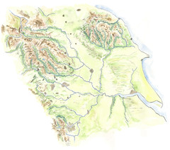
Yorkshire topography Map
328 miles away
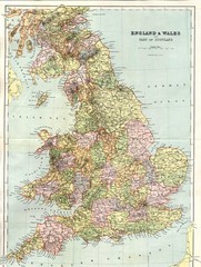
England and Wales Map
Guide to England, Wales and part of Scotland, showing counties
328 miles away
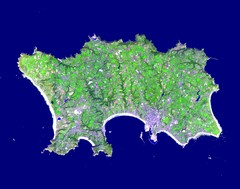
Jersey Physical Map
Guide to the Balliwick of Jersey, a British Crown Dependency
328 miles away
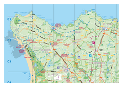
Jersey Tourist Map
Official tourist map of Isle of Jersey in the English Channel. Divided into 5 pages.
328 miles away
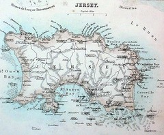
Jersey island Map
329 miles away
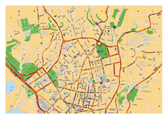
St. Helier Street Map
City street map of Saint Helier, Jersey, UK. With street index. Divided into 3 pages.
331 miles away
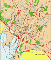
St. Helier Map
331 miles away
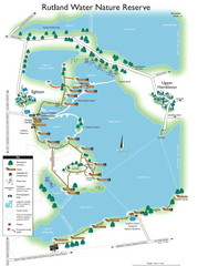
Map of Rudlin Nature Reserve
Full-color map of Rudlin Water Nature Reserve that includes the locations off all Footpaths...
331 miles away

Isle of Bute Guide Map
334 miles away

Lesconil City Map
City map of Lesconil, France
334 miles away
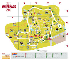
Whipsnade Zoo Map
336 miles away

Concarneau ville Map
338 miles away

Concarneau Map
338 miles away
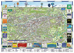
Woking Tourist Map
Tourist map of Woking, Surrey, England. Oblique/3D town map with ads.
338 miles away

Brittany region Map
338 miles away
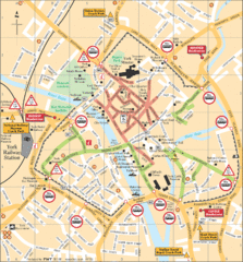
York Tourist Map
339 miles away
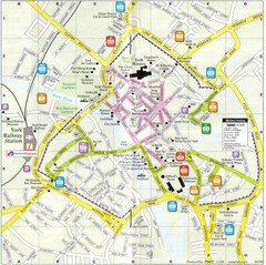
York England Tourist Map
Tourist map of York England showing roads, tourist sites ad railways.
339 miles away
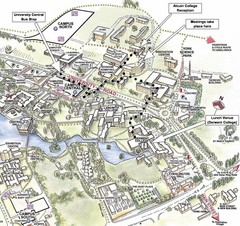
University of York Campus Map
Relevant landmarks and main roads and buildings
339 miles away
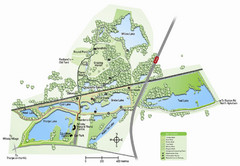
Whisby Nature Park Map
Shows park as of January 2009.
340 miles away
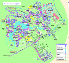
University of York Map - Heslington Campus
Campus map of the University of York Heslington Campus near York, England.
340 miles away
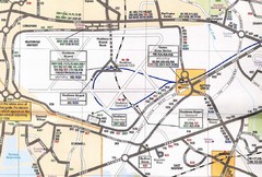
Heathrow Airport Transportation Map
341 miles away
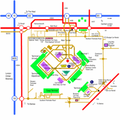
Heathrow Airport Map
341 miles away
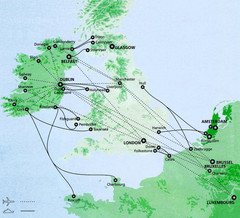
Ireland to Luxembourg Travel Map
Major routes from Ireland to Luxembourg. Shows major cities in Ireland, England, Germany and the...
342 miles away
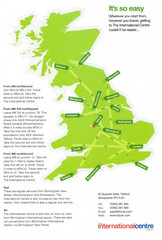
United Kingdom Map
343 miles away
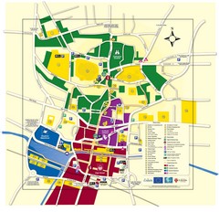
Lincoln Tourist Map
Tourist map of Lincoln, England. Shows points of interest.
344 miles away
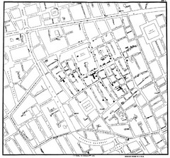
Cholera Outbreak of London Map
Map used to analyze the cholera outbreak in London, specifically South Hampton in 1853
345 miles away
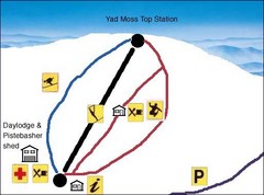
Yad Moss Sketch Ski Trail Map
Trail map from Yad Moss.
346 miles away
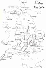
Tudor England Counties Map
Guide to the counties of England under Tudor reign
346 miles away
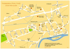
Twickenham Pub Guide Map
Map of TW1 & TW2 area
347 miles away
Delaine Bus Route Map
Map of bus routes throughout from Borne to Peterborough
347 miles away
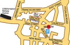
Museums in West Sussex, England Map
348 miles away
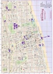
West Sussex, England Map
348 miles away
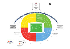
UK Wembley Stadium Map
348 miles away
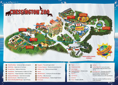
Chessington Zoo Map
348 miles away
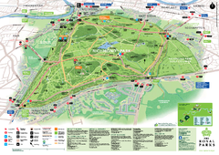
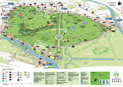
Richmond Park Map
349 miles away
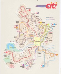
Peterborough Stage Coach Citi Bus Map
349 miles away
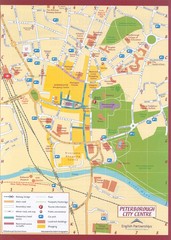
Peterborough City Center Map
City map of central Peterborough, England
349 miles away

River Thames Map
River Thames Map, illustrated by Katherine Baxter for the Runnymede-on-Thames Hotel as a 8 metre...
350 miles away

