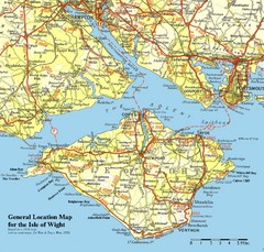
Isle of Wight Map
Based on 1950's map with no motorways
316 miles away
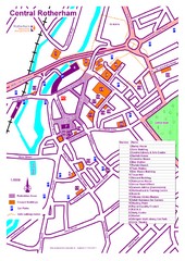
Central Rotherham Map
316 miles away
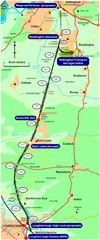
Nottingham Transport Map
A map showing train stations in Loughborough to Nottingham. Includes surrounding roads, towns...
316 miles away
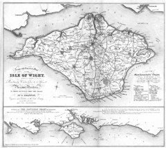
Isle of Wight Map
316 miles away
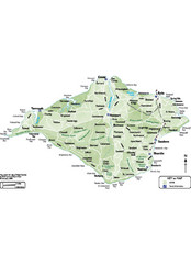
Isle of Wight Map
316 miles away
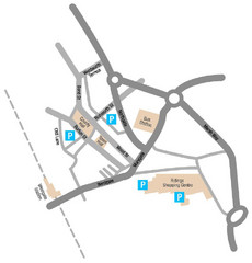
Wakefield Center Street Map
Crude street map of center of Wakefield, UK.
316 miles away
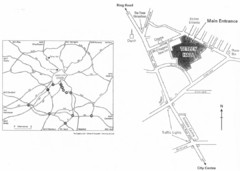
University of Leeds Campus Map
Various buildings on the University of Leeds campus
317 miles away
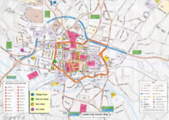
Leeds Tourist Map
Tourist map of city center of Leeds, UK
317 miles away
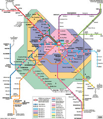
Leeds Metro Train Diagram Map
Metro system map for Leeds, England and surrounding cities.
317 miles away
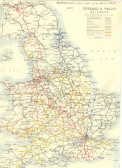
1887 - Prinicipal Railways in England and Wales...
Railways in England and Wales in 1887
318 miles away
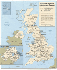
United Kingdom Tourist Map
319 miles away
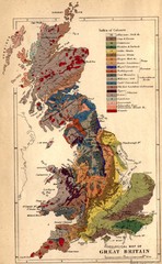
Great Britain Geological Map
Geological Map of Great Britain
319 miles away
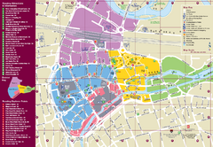
Reading Tourist Map
Tourist map of city center of Reading, England. Shows attractions and other tourist points of...
319 miles away
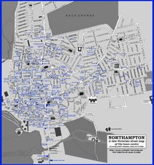
Northampton Town Map
Map of Northampton from the late Victorian period with public houses, inns, hotels, and pubs all...
320 miles away
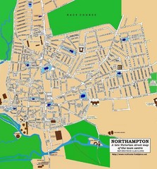
Northampton Town Map
Street map of Northampton from the late Victorian period
320 miles away
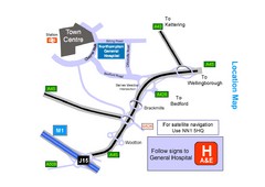
Central Northampton, England Tourist Map
Central Northampton in England
321 miles away
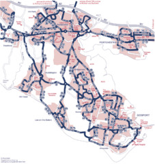
Fareham Busmap Map
Bus map of Portchester, Gosport and Fareham routes.
321 miles away
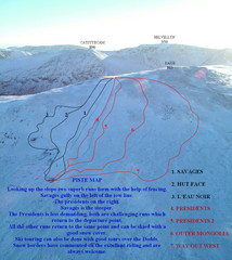
Raise Ski Trail Map
Trail map from Raise.
321 miles away
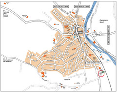
Henley-on-Thames Map
322 miles away
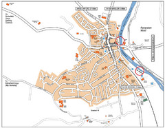
Henley-on-thames Map
Visitor Map of Henley-on-thames. Map shows location of most main roads, buildings, and parking.
322 miles away
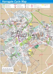
Harrogate Cycling Map
Shows traffic free cycling routes, advisory routes, traffic calmed roads, cycle lanes, bike shops...
323 miles away
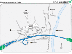
Glasgow Airport Map
323 miles away
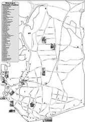
Portsmouth and Southsea Tourist Map
Tourist map of "where to go" in Portsmouth and Southsea, England. Includes photos of...
323 miles away
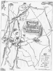
Twyford Parish Map
Footpaths and bridleways map of Twyford Parish
324 miles away
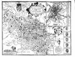
1610 Yorkshire County Historical Map
A 1610 map of Yorkshire Country in the United Kingdom
324 miles away
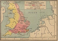
600 British Settlement Map
Map of settlements of Angels, Saxons, Jutes and Native Britons in 600
325 miles away
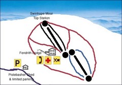
Swinhope Moor Sketch Ski Trail Map
Trail map from Swinhope Moor.
326 miles away
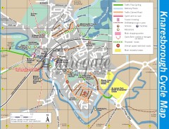
Knaresborough Cycling Map
Shows traffic free cycling routes, advisory routes, traffic calmed roads, cycle lanes, bike shops...
326 miles away
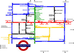
Doncaster Pup Guide Map
326 miles away
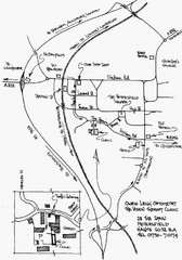
Petersfield, London Map
326 miles away
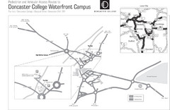
Doncaster College Waterfront Campus Map
B&W Printable version of the Doncaster College Waterfront Campus showing parking and vehicular...
326 miles away
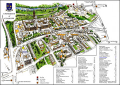
University of Glasgow Map
327 miles away
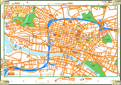
Glasglow Tourist Map
Tourist map of Glasglow, UK. Shows points of interest.
327 miles away
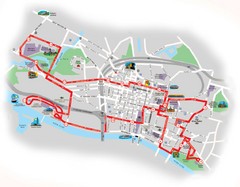
Glasgow Bus Tour Map
327 miles away
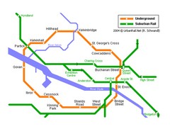
Glasgow Subway Map
Guide to underground and suburban rail
327 miles away
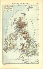
1911 British Isles Physical Map
Guide to physical features of the United Kingdom, then known as the British Isles
327 miles away
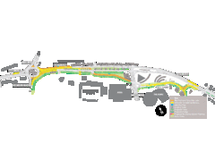
Bawtry Road Bus Lane Map
327 miles away
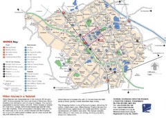
Milton Keynes Region Tourist Map
Tourist map of region around Milton Keynes, UK. Shows railway stations, out of town shopping, and...
327 miles away
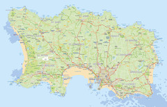
Jersey detailed road Map
328 miles away

