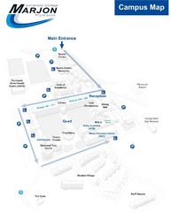
University College Plymouth Map
University College Plymouth St Mark & St John Derriford Road, Plymouth, Devon PL6 8BH
209 miles away
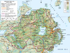
Northern Ireland General Map
Guide to Northern Ireland, major cities, topography and roads
210 miles away
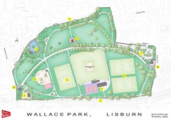
Wallace Park Map
211 miles away
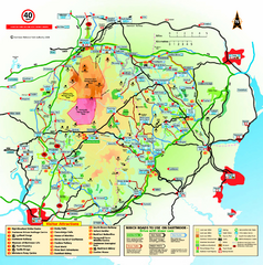
Dartmoor National Park Map
Official visitor map of Dartmoor National Park, England. Shows elevation and visitor attactions.
212 miles away
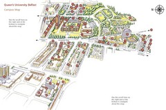
Queen's University Belfast Map
Guide to campus and botanical gardens
217 miles away
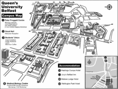
Queen's University Belfast Campus Map
Campus map of Queen's University Belfast in Belfast, Northern Ireland
217 miles away
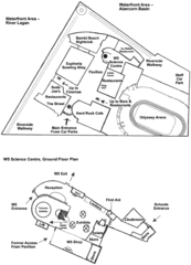
Odyssey Complex Public Service Attraction Visitor...
Odyssey complex site map, displaying the locations of all attractions, restaurants, stores...
217 miles away
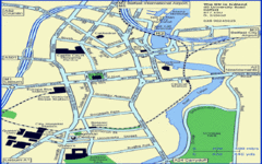
Belfast City Map
City map of Belfast with tourist information
218 miles away
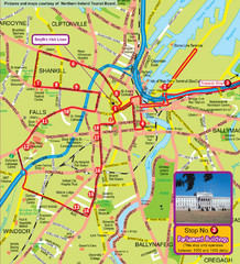
Belfast Bus Tour Map
218 miles away
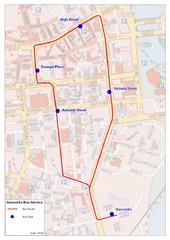
Gasworks/Belfast city centre shuttle Bus Map
Shuttle Bus service map between the Gasworks Estate and Belfast city centre.
218 miles away
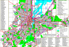
Belfast Map
218 miles away
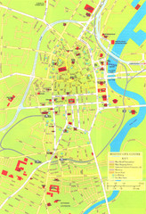
Belfast Tourist Map
Tourist map of center of Belfast, Northern Ireland, UK. Major buildings highlighted.
218 miles away
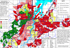
Belfast Religious Distribution Map
Guide to proportion of Catholics in each Belfast ward
218 miles away
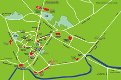
Letterkenny Map
219 miles away
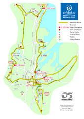
Belfast City Marathon Map
Event and the marathon map.
220 miles away
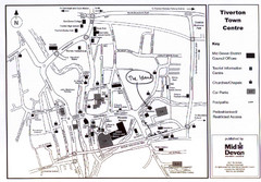
Tiverton Town Center Map
Black and white map shows major streets in Tiverton, Devon.
221 miles away

South Hams England Map
Map of South Hams, England showing cities,parks, major roads and railways.
222 miles away
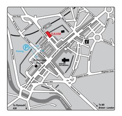
Royal Albert Memorial Museum Location Map
223 miles away
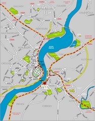
Londonderry Map
224 miles away
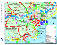
Cardiff Region Tourist Map
Regional tourist map of area surrounding Cardiff, UK. Shows all attractions.
224 miles away
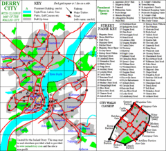
Derry/Londonderry Map
224 miles away
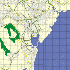
Cardiff Street Map
Street map of Cardiff, Wales area.
225 miles away
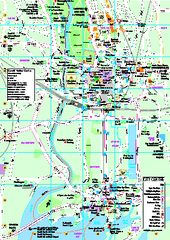
Cardiff City Map
Tourist map of city center of Cardiff, UK. Shows points of interest
225 miles away
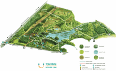
Stover Country Park Map
225 miles away
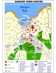
Bangor Town Centre Map
227 miles away
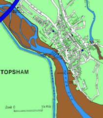
Topsham Street Map
227 miles away

Main Historic Sites in Wales Map
Welsh Historic Monuments map (CADW) showing roads, cities and the main castles and abbeys in Wales.
227 miles away
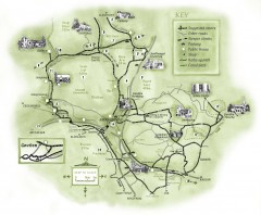
Abergavenny Cycle Map
Shows suggested easy cycling routes, other roads, steeper climbs, parking, public houses, shops...
230 miles away
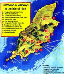
Isle of Man Railways and trams Map
230 miles away
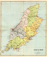
Isle of Man Map
231 miles away
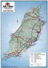
Isle of Man Transportation Map
231 miles away
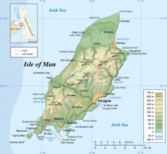
Isle of Man Topo Map
Topographical map of the Isle of Man showing roads, rail tracks, geographic features, and towns...
231 miles away
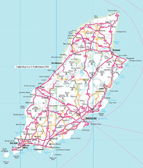
Isle of Man roads Map
232 miles away
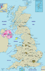
Northern Ireland Political Map
Guide to Northern Ireland and major cities in the United Kingdom
232 miles away
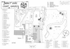
Abbey Dore Court Garden Map
235 miles away
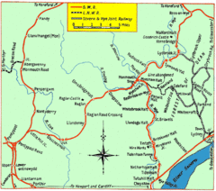
Monmouth and Wye Valley Railways Map
Map showing the 3 major railway lines and the cities with stops of Monmouth, UK.
238 miles away
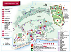
Carnfunnock Country Park Map
238 miles away
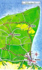
Ramsey, Isle of Man City Map
240 miles away
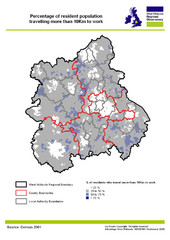
West Midlands Travel Time Statistics Map
Percentage of residents who travel to work in West Midlands, England
248 miles away


