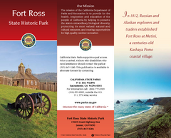
Fort Ross State Historic Park Map
Map of park with detail of trails and recreation zones
45 miles away
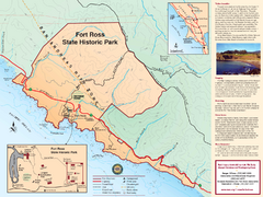
Fort Ross State Historic Park Map
Map of park with detail of trails and recreation zones
45 miles away
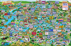
California Delta Boaters Map & Visitors Guide
Map of the California Delta, the Most Current, Legible and Unique Delta Navigation Map to date. Our...
47 miles away
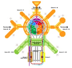
San Francisco Initernational Airport SFO Terminal...
AirTrain, airline, and gate locations map of SFO.
47 miles away
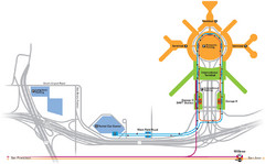
San Francisco International Airport Map
47 miles away
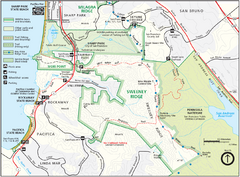
Sweeney Ridge Map
Trail map of Sweeney Ridge, part of the Golden Gate National Recreational Area.
48 miles away
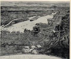
1936 San Francisco Bay Area Map Part 2
Guide to the San Francisco Bay Area, hand drawn over photograph
49 miles away
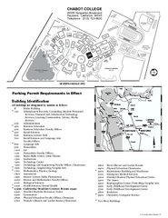
Chabot College Campus Map
Chabot College Campus Map. All buildings shown.
49 miles away
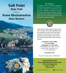
Salt Point State Park Map
Map of park with detail of trails and recreation zones
50 miles away
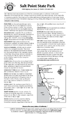
Salt Point State Park Campground Map
Map of campground region of park with detail of trails and recreation zones
50 miles away
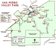
San Pedro Valley Park Map
Park map of San Pedro Valley County Park in San Mateo County, California.
50 miles away
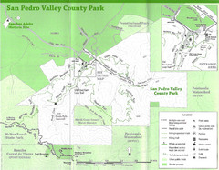
San Pedro Valley County Park Map
Trail map of San Pedro Valley County Park. 1,100 acre park with miles of trails and waterfall...
50 miles away
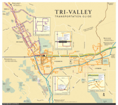
Tri Valley Transportation and Road Map
The Tri Valley cities roads and routes.
51 miles away
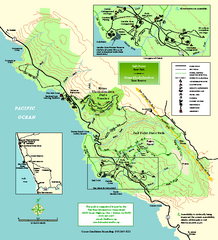
Salt Point State Park Map
Topo park map of Salt Point State Park and Kruse Rhododendron State Reserve. Shows trails by use...
51 miles away
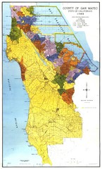
San Mateo County Map
Official county map of San Mateo, California. Scale 1"=5000'
52 miles away
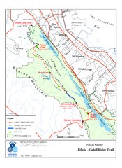
Fifield-Cahill Ridge Trail Map
Trail map of the Fifield-Cahill Ridge Trail in the San Francisco Peninsula Watershed.
52 miles away
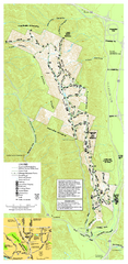
Pleasanton Ridge Regional Park Map
53 miles away
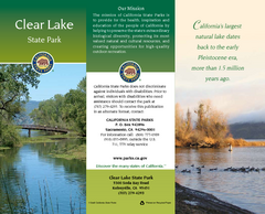
Clear Lake State Park Map
Map of park with detail of trails and recreation zones
53 miles away
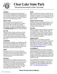
Clear Lake State Park Campground Map
Map of park with detail of trails and recreation zones
53 miles away
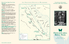
Fifield-Cahill Ridge Trail Map
Trail map and brochure of the Fifield-Cahill Ridge Trail in the San Francisco Peninsula Watershed.
53 miles away

San Mateo County Mid-County Trail Map
Trail map of mid-county trails in San Mateo County, California.
54 miles away
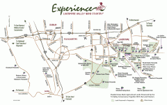
Livermore Valley Wineries, California Map
Map of wineries in Livermore Valley, California. Shows wineries, olive groves, and preserved land.
54 miles away
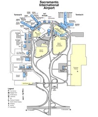
Sacramento International Airport Map
55 miles away
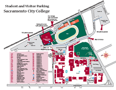
Sacramento City College Campus Map
Sacramento City Campus Map. All buildings shown.
55 miles away
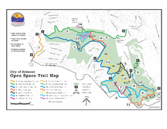
Water Dog Lake Park Trail Map
Trail map of Water Dog Lake Park. Open to mountain biking.
55 miles away
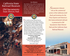
Old Sacramento State Historic Park Map
Map of park and museum with detail of trails and recreation zones
56 miles away
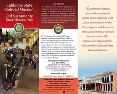
California Railroad Museum Map
Map of historic museum
56 miles away
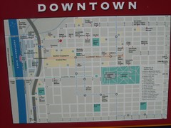
Downtown Sacramento City Map
City map of downtown Sacramento, California. From 2007 photo.
56 miles away
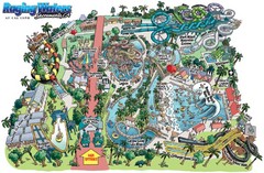
Raging Waters Sacramento Map
Fun and amusing water park for the whole family!
56 miles away

Downtown Sacramento, California Map
Tourist map of Downtown Sacramento, California. Museums, lodging, shopping and other attractions...
56 miles away
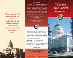
California State Capitol Museum Map
Map of museum and park
56 miles away
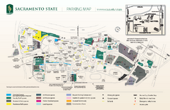
California State University at Sacramento Map
California State University at Sacramento Campus Map. All buildings shown.
56 miles away
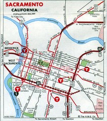
Sacramento, California City Map
56 miles away
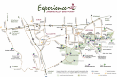
Livermore Valley Wine Map
Map showing the wineries in the Livermore Valley of California.
57 miles away
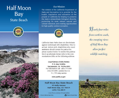
Half Moon Bay State Beach Map
Map of beach with detail of trails and recreation zones
57 miles away
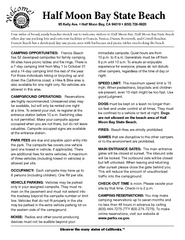
Half Moon Bay State Beach Campground Map
Map of beach with detail of trails and recreation zones
57 miles away
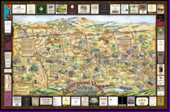
Livermore Winery Tour Map
Livermore Valley Wine Map & Visitors Guide - A great source for information about the Livermore...
57 miles away

Mount Whitney Route Map
57 miles away
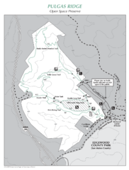
Pulgas Ridge Open Space Preserve Map
Trail map of Pulgas Ridge Open Space Preserve. 366 acres and 6 miles of trails
57 miles away
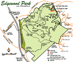
Edgewood County Park Trail Map
Trail map of Edgewood Park and Preserve in Redwood City, California.
58 miles away

