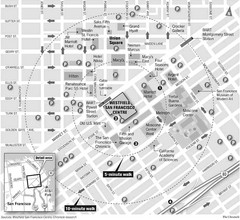
San Francisco City Center Map
36 miles away
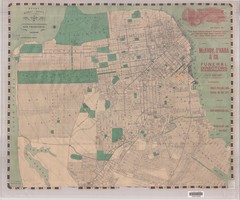
1905 San Francisco Street Map
Pre earthquake map of San Francisco, with several types of street cars and turnaround locations
36 miles away
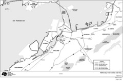
Bay Area, CA Bike Map
36 miles away
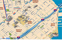
Downtown San Francisco: South of Market, Yerba...
Tourist map of South of Market (SOMA), Yerba Buena Center, and South Beach areas in downtown San...
36 miles away
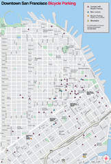
San Francisco Bike Parking Map
Multiple bike-parking points in San Francisco.
36 miles away
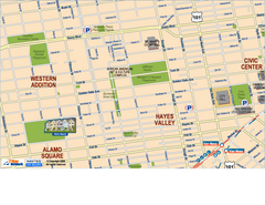
Hayes Valley, Fillmore, Western Addition, Alamo...
Tourist map of Hayes Valley, Fillmore, Western Addition, and Alamo Square in San Francisco.
36 miles away

Downtown Oakland, California Map
Tourist map of downtown Oakland, California. Shows museums, parks, neighborhoods of interest and...
36 miles away
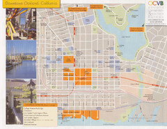
Oakland Tourist Map
Tourist map of downtown Oakland, California. Shows shopping districts.
36 miles away
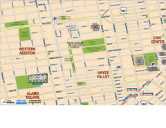
Downtown San Francisco: Hayes Valley, Western...
Tourist map of Hayes Valley, Western Addition, and Civic Center area of downtown San Francisco...
36 miles away
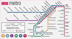
San Francisco Muni Metro map
Official SFMTA San Francisco MUNI Metro map. Shows overlapping BART stations and the Cal Train...
36 miles away

San Francisco Historic Rail Map
Map of San Francisco historic rail lines
36 miles away
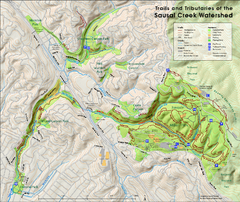
Sausal Creek Watershed Trail Map
Trail map of the Sausal Creek Watershed in Oakland, California. Show trails in Joaquin Miller Park...
36 miles away

Double Decker Tour Bus Map
36 miles away

Municipal Railway Map
36 miles away
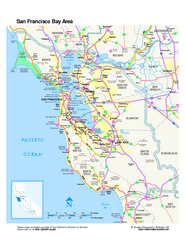
San Francisco Bay Area Map
Overview road map of the San Francisco Bay Area, California
36 miles away
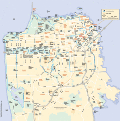
San Francisco Neighborhood Map
Neighborhood map of San Francisco, CA. Shows 49 mile scenic drive.
36 miles away
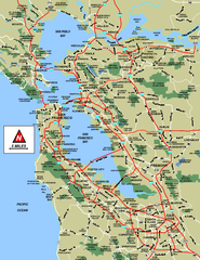
San Francisco Bay Area Map
36 miles away

San Francisco Bay Area Faults and Earthquake...
36 miles away
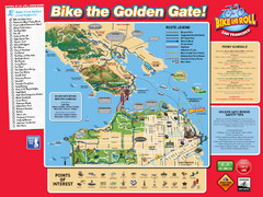
San Francisco Bike Map
36 miles away
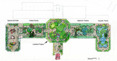
Conservatory of Flowers Museum Map
Map of the Conservatory of Flowers in Golden Gate Park, San Francisco, California
36 miles away
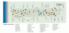
Golden Gate Park tour map
Map of Golden Gate Park in San Francisco in California. Shows all points of interest, picnic areas...
36 miles away
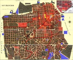
San Francisco Crime Map
A visual representation of crime in San Francisco. This high-level city map of San Francisco shows...
36 miles away
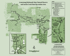
Armstrong Redwoods State Natural Reserve Map and...
Park map of Armstrong Redwoods State Natural Reserve and Austin Creek State Recreation Area in...
36 miles away
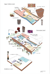
de Young Museum Map
Floorplan of the de Young Museum of Art in Golden Gate Park, San Francisco, California
36 miles away
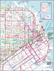
San Francisco Map
Highly detailed map of San Francisco roads and transportation.
36 miles away
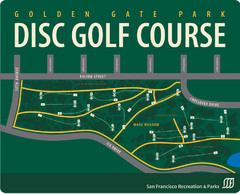
Golden Gate Park Disc Golf Course Map
Disc golf course map of 18-hole course in Golden Gate Park, San Francisco, CA. Officially opened...
36 miles away
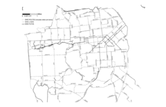
San Francisco Bike Map
Streets in San Francisco
36 miles away
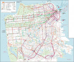
San Francisco Muni system map
Transit Muni system map shows all bus, subway metro, cable car, and streetcar routes.
36 miles away
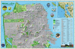
San Francisco Natural Heritage Map
Shows San Francisco's natural habitats and biodiversity is filled with fun facts, restoration...
36 miles away
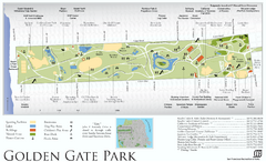
Golden Gate Park Map
Overview map of Golden Gate Park in San Francisco, CA
36 miles away
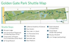
Golden Gate Park Shuttle Map
Shows shuttle stops in Golden Gate Park, SF.
36 miles away
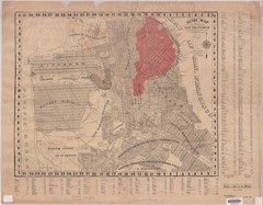
1907 San Francisco Earthquake Map
Map of areas destroyed by fire after 1906 earthquake
37 miles away

Bay to Breakers race course Map
Bay to Breakers course. Held annually on the third Sunday in May. "ING Bay to Breakers...
37 miles away
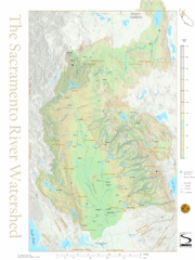
Sacramento River Watershed Map
The map shows, rivers, cities, counties, and roads surrounding the Sacramento River.
37 miles away
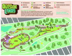
San Francisco Outside Lands Music Festival Map
Official 2008 map of the Outside Lands Music & Arts Festival in Golden Gate Park, San Francisco...
37 miles away
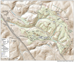
Joaquin Miller Park Map
Trail map of Joaquin Miller Park in Oakland, California. 500 acre park 9 miles from downtown...
37 miles away
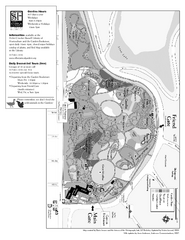
San Francisco Botanical Garden Map
Overview map of the San Francisco Botanical Garden in Golden Gate Park, San Francisco
37 miles away
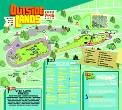
Outside Lands Festival Map 2010
Official Outside Lands Festival map 2010. Held Aug 14-15, 2010 in Golden Gate Park, San Francisco
37 miles away
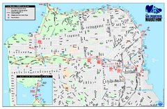
San Francisco 2009 Marathon Map
Guide to the 2009 San Francisco Marathon and Half Marathon
37 miles away
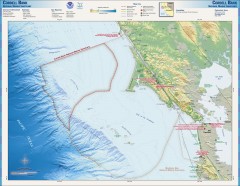
Cordell Bank National Marine Sanctuary Map
Topo and bathymetric map of the Cordell Bank National Marine Sanctuary, located 60 miles northwest...
37 miles away

