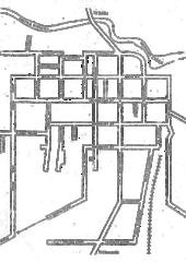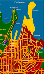
Sydney City Map
City map of Sydney: Kings Cross to Central
94 miles away
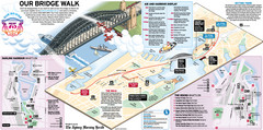
Sydney Harbour Bridge 75th Anniversary Walk Map
Map of Harbour Bridge 75th Anniversary Walk held on March 18, 2007
94 miles away
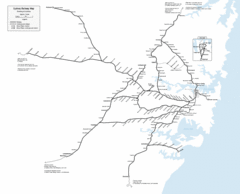
Sydney Railway Map
Sydney railway.
95 miles away
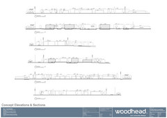
Woodhead Community Lifestyle Map
Elevation sections of the Blue Dolphin Joint Venture in North Sydney
96 miles away
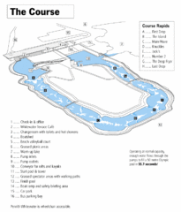
Penrith Whitewater Stadium Course Map
Whitewater rapids map of Penrith Whitewater Stadium, the competition venue for the canoe/kayak...
99 miles away
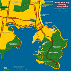
Manly Beach Map
100 miles away
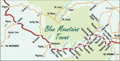
Blue Mountains' Towns Map
Simple map clearly marking each town in the Blue Mountain area.
117 miles away
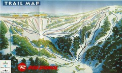
Selwyn Snowfields Ski Trail Map
Trail map from Selwyn snowfields.
124 miles away
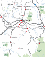
Bathurst District Map
Simple map marking the borders of Bathurst.
134 miles away
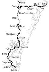
Family Histories in New South Wales Map
Treasure hunt a walker's comapnion's family hisotry around New South Wales. Experience...
141 miles away
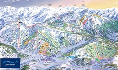
Perisher Ski Trail Map
Trail map from Perisher.
154 miles away
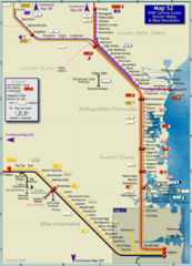
Hunter Valley Rail Map
Map of rail system throughout Hunter Valley, New South Wales Central Coast, and Blue Mountains
156 miles away
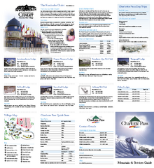
Charlotte Pass Ski Trail Map
Trail map from Charlotte Pass.
159 miles away
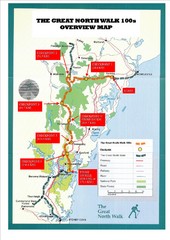
Great North Walk 100s Overview Map
Trail map for the Great North Walk 100's with distances and checkpoints marked
162 miles away
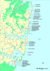
New South Wales, Australia Beach Tourist Map
164 miles away

The Great North Walk Trail Map
The Great North Walk connects New South Wales’ two largest cities from the obelisk in...
165 miles away
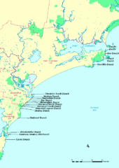
Hunter Ocean, Australia Beach Tourist Map
166 miles away
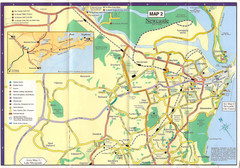
Newcastle Map
166 miles away
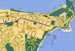
Newcastle City Map
City map of Newcastle
166 miles away
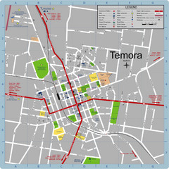
Temora Town Map
185 miles away
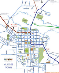
Mudgee Town Map
188 miles away
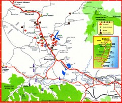
Upper Hunter Valley Tourist Map
Tourist map of Upper Hunter Valley around Muswellbrook, NSW, Australia. Shows horse studs, tourist...
200 miles away
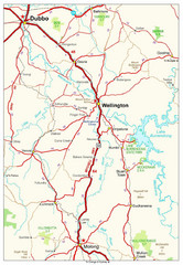
Wellington Region Road Map
Road map of region including Wellington, Dubbo, and Molong, Australia.
202 miles away
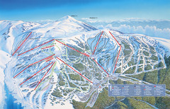
Falls Creek Ski Trail Map
Trail map from Falls Creek.
224 miles away
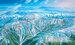
Mount Hotham Ski Trail Map
Trail map from Mount Hotham, which provides downhill, night, nordic, and terrain park skiing. It...
235 miles away

Mount Hotham Ski Trail Map
Mount Hotham Alpine Resort ski trail map
235 miles away
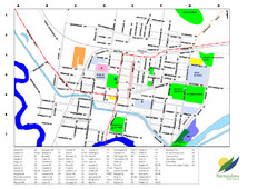
Narrandera Town Map
236 miles away
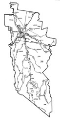
Wangaratta City Map
Map of Rural City of Wangaratta, Australia. Describes all roads, highways, rivers and towns.
259 miles away
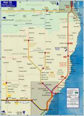
Northern New South Wales Map
Map of long-distance rail system throughout New South Wales and South East Queensland
263 miles away
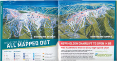
Mount Buller Ski Trail Map
Trail map from Mount Buller.
274 miles away
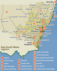
New South Wales Map
Map of New South Wales region with detail of districts
278 miles away
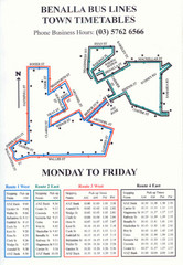
Benalla Bus Lines Map
Bus timetable and route map for town of Benalla
281 miles away

Port Macquarie Map
288 miles away
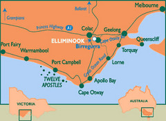
South Victoria, Australia Tourist Map
A major city map of South Victoria, Australia.
288 miles away
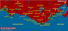
South Victoria, Australia Tourist Map
A major city map of Victoria, Australia.
288 miles away
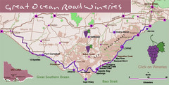
Wineries on Great Ocean Road, Australia Map
303 miles away
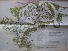
Mount Baw Baw Ski Trail Map
Trail map from Mount Baw Baw.
306 miles away
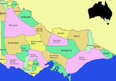
Victorian Aboriginal tribal and language areas Map
This is a map I created of aboriginal tribal territories and languages in Victoria, Australia...
308 miles away

