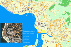
Portorož Lodging Map
145 miles away
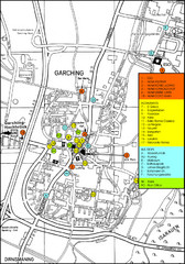
Garching Map
Map of Garching, a suburb to the north of Munich, with hotels, restaurants and bus stops marked.
146 miles away
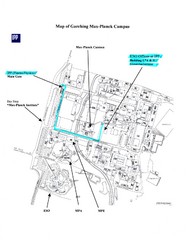
Garching Max-Planck Campus Map
Map of the Max-Planch Campus in Garching, Germany. Includes information on Accommodation and...
146 miles away
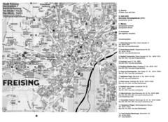
Freising City Map
146 miles away
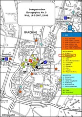
Map of the city of Garching, Germany
General visitor information including the locations of restaurants, hotels, bus stops and more.
146 miles away
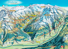
Lötschental Lauchernalp Summer Trail Map
Summer trail map of Lötschental Valley area. Shows hiking trails, towns, and mountains. The...
146 miles away
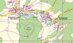
Indelhausen / Anhausen Map
Map of towns of Indelhausen & Anhausen
146 miles away
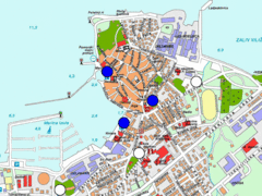
Izola Slovenia Parking map
Parking places in Izola (blue sign - payable parking, white sign - free parking).
148 miles away

Alessandria Map
148 miles away
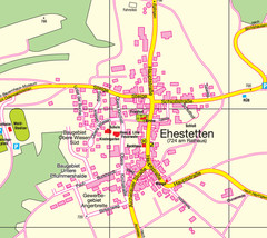
Ehestetten Map
Street map of Ehestetten
149 miles away
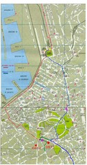
Trieste City Map
City map of Trieste with projects plans.
149 miles away
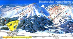
Lungau Ski Trail Map
Trail map from Lungau.
150 miles away
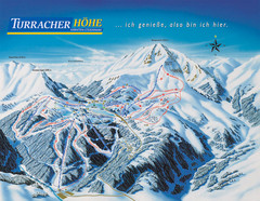
Turracher Höhe Ski Trail Map
Trail map from Turracher Höhe.
150 miles away
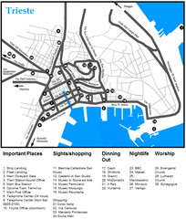
Trieste Map
150 miles away
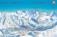
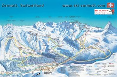
Zermatt Switzerland ski map
Zermatt Switzerland ski map
150 miles away
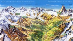
Zermatt Switzerland summer map
Summer hiking map of Zermatt
150 miles away
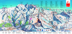
Matterhorn Ski Paradise Ski Trail Map
Trail map from Matterhorn ski paradise.
150 miles away
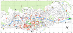
Zermatt Tourist Map
Guide to Zermatt, Switzerland
150 miles away
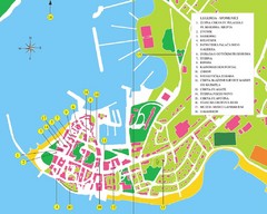
Novigrad Tourist Map
Tourist map of Novigrad, Croatia. Shows points of interest.
150 miles away
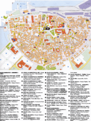
Koper Tourist Map
Tourist map of Koper, Slovenia. Shows 55 tourist sights.
150 miles away

Ravenna Map
151 miles away
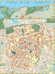
Ravenna Street Map
Street map of central Ravenna, Italy.
151 miles away
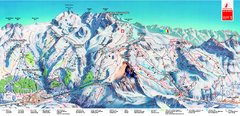
Piste Map of Zermatt with Cervinia
Combined piste map of Zermatt and Cervinia resorts. Shows both sides of the huge ski destination.
151 miles away
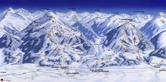
Planai-Hochwurzen Ski Trail Map
Trail map from Schladming.
152 miles away
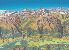
Leukerbad Summer Trail Map
Summer hiking trail map from Leukerbad.
152 miles away
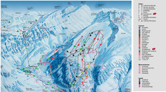
Leukerbad Ski Trail Map
Trail map from Leukerbad.
153 miles away
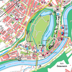
Burghausen Tourist Map
Tourist street map of Burghausen
155 miles away
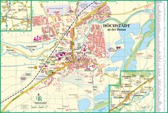
Höchstädt an der Donau Map
Street map of Höchstädt an der Donau
155 miles away

Porec Tourist Map
155 miles away
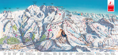
Zermatt Matterhorn Map
155 miles away
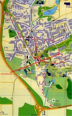
Bad Durrheim Map
Street map of Bad Durrheim
157 miles away
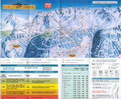
Val d’Anniviers (Grimentz, Zinal, Vercorin, St...
Trail map from Val d’Anniviers (Grimentz, Zinal, Vercorin, St-Luc und Chandolin), which provides...
157 miles away
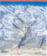
Val d’Anniviers (Grimentz, Zinal, Vercorin, St...
Trail map from Val d’Anniviers (Grimentz, Zinal, Vercorin, St-Luc und Chandolin), which provides...
157 miles away
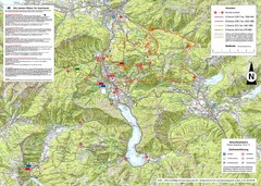
Central Austria Hiking Map
Large map of hiking and emergency services.
157 miles away
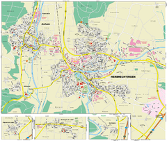
Herbrechtingen Map
Street map of city of Herbrechtingen
158 miles away

