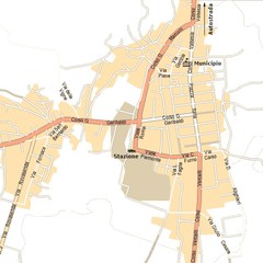
Gattinara Map
130 miles away
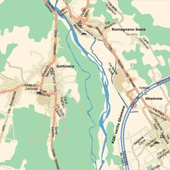
Gattinara Map
130 miles away
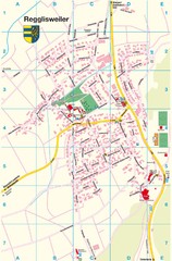
Regglisweiler Map
Map of town of Regglisweiler
131 miles away
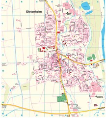
Dietenheim Map
Street map of Dietenheim
132 miles away
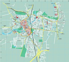
Dachau City Map
City street map of Dachau
132 miles away
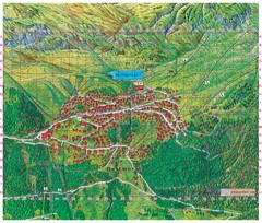
Bettmeralp Summer Map
Summer tourist map of town of Bettmeralp, Switzerland. With reference grid.
133 miles away
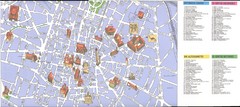
Bologna centro Map
133 miles away
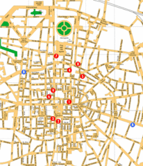
Bologna Hotel Map
133 miles away
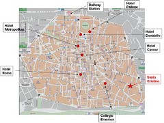
Bologna Tourist Map
133 miles away
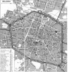
Bologna Italy City Map
Street level map of Bologna, Italy city center with some buildings noted.
133 miles away
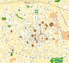
Bologna Tourist Map
Tourist map of Bologna, Italy. Shows 3D drawings of landmark buildings.
133 miles away
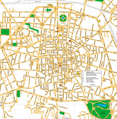
Bologna Italy City Center Street Map
Detailed Street map of Bologna's city centre with a few hotels and key points of interest...
133 miles away
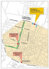
Tourist Bus Map
133 miles away
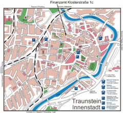
Traunstein Map
Street map of Traunstein
133 miles away
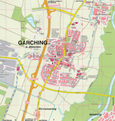
Garching bei München Map
Street map of Garching bei München
134 miles away
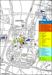
Garching Tourist Map
Tourist map of Garching bei Munchen, Germany. Shows hotels, restaurants and the most important bus...
134 miles away
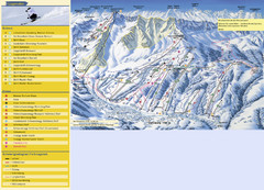
Sörenberg Ski Trail Map
Trail map from Sörenberg.
137 miles away
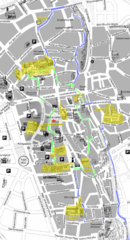
Augsburg Tourist Map
Tourist street map of downtown Augsburg
137 miles away
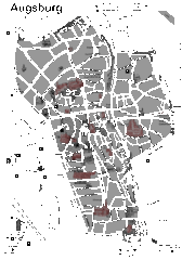
Augsburg Tourist Map
Shows central Augsburg and its sights.
137 miles away
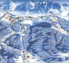
Arnoldstein—Dreiländereck Ski Trail Map
Trail map from Arnoldstein—Dreiländereck, which provides downhill skiing. It has 8 lifts. This...
137 miles away
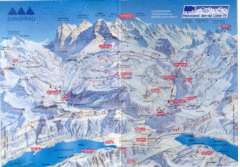
Jungfrau Map
138 miles away
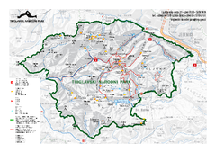
Triglav National Park Map
Triglav National Park is the only Slovenian national park. The park was named after Triglav, the...
138 miles away
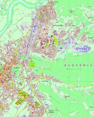
Map of Nova Gorica, Slovenia
138 miles away
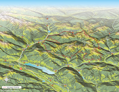
Nockberge National Park Map
Outline map of Nockberge National Park, Austria in the summer. Shows surrounding towns.
138 miles away
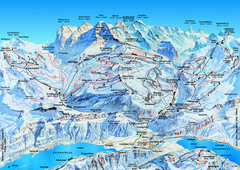
Jungfrauregion (Mürren, Wengen, Grindelwald) Ski...
Trail map from Jungfrauregion (Mürren, Wengen, Grindelwald), which provides downhill skiing.
139 miles away
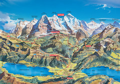
Jungfrau Grindelwald region summer map
This map is a summer panorama looking south from Interlaken toward the Jungfrau, Eiger, and the...
139 miles away
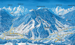
Kranjska Gora Ski Trail Map
Ski trail map of Kranjska Gora ski area.
140 miles away
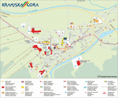
Kranjska Gora town map
Blurb from town website: The Zgornjesavska Valley is one of the most breathtaking alpine valleys...
140 miles away
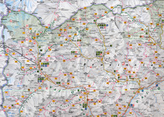
Northern Italy Map
Map of very north of Italy. Shows all towns, roads, recreational activities and gas stations.
141 miles away
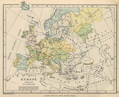
Europe 15th Century Colbeck Map
Europe during the 15th Century
142 miles away
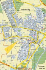
Freilassing Map
Street map of Freilassing
142 miles away
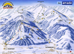
Ski Amade Map
142 miles away
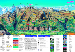
Schilthorn Summer Trail Map
Summer hiking map of Mürren-Schilthorn area. Shows lifts and trails.
142 miles away
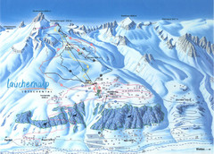
Lötschental (Wiler) Ski Trail Map
Trail map from Lötschental (Wiler), which provides downhill skiing.
142 miles away
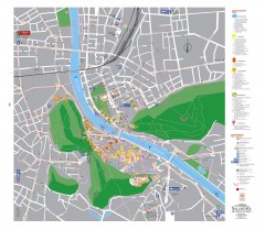
Salzburg Tourist Map
Tourist map of Salzburg, Austria. In German.
143 miles away
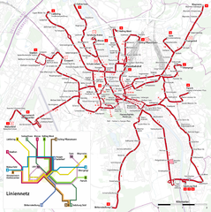
Salzburg Trolleybus Map
143 miles away
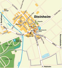
Ulm Steinheim Map
Street map of town of Ulm Steinheim
144 miles away
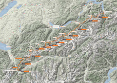
Swiss Alps Trail Map
Around Interlaken, Switzerland.
144 miles away

Umag Tourist Map
Tourist map of Umag, Croatia. Shows restaurants and lodging.
145 miles away

