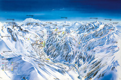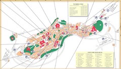
Montepulciano Map
232 miles away
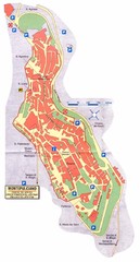
Montepulciano Map
232 miles away
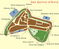
San Quirico Map
233 miles away
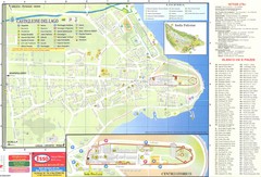
Castiglione del Lago Map
233 miles away
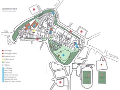
San Qurico d'Orcia Map
233 miles away
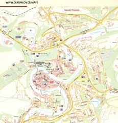
Cesky Krumlov Czech Republic Tourist Map
Tourist map of Cesky Krumlov, Czech Republic. Shows wc, buildings of historical interest and...
233 miles away
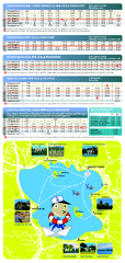
Lago Trasimeno Map
233 miles away
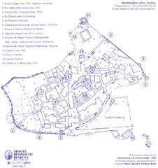
Monticchiello Map
234 miles away

Old European map
234 miles away
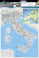
Italy Physical Map
High quality physical map of Italy, with shaded relief. Inset shows Italy in context of Europe.
235 miles away
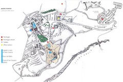
Bagno Vignoni Map
235 miles away
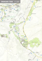
Chianciano Terme Map
236 miles away
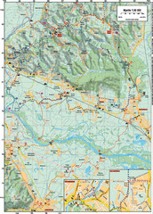
Sulta and Sava Croatia Cycling Route Map
the trails on this map are through picturesque hills to the confluence of the Sutla and Sava Rivers...
236 miles away
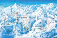
St Jean D'arves Piste Ski Map
236 miles away
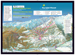
Puy Saint-Vincent Ski Trail Map
Trail map from Puy Saint-Vincent.
236 miles away
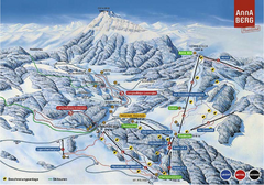
Annaberg Ski Trail Map
Trail map from Annaberg.
237 miles away
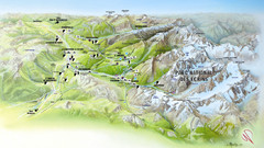
Ecrins National Park Map
Panoramic map of Parc National des Ecrins, France
237 miles away
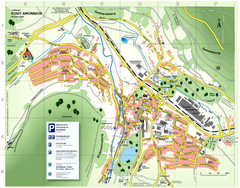
Amorbach Tourist Map
Tourist map of Amorbach
238 miles away
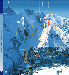
La Grave Ski Trail Map
Trail map from La Grave.
238 miles away
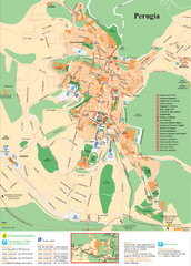
Perugia Tourist Map
Tourist map of Perugia, Italy. Shows points of interest.
239 miles away
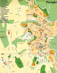
Perugia Tourist Map
Tourist map of central Perugia, Italy, the capital of Umbria. Shows points of interest and hotels...
239 miles away
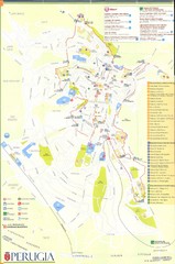
Perugia Map
239 miles away
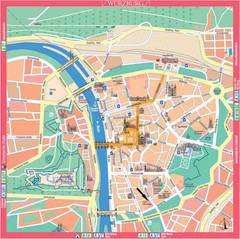
Würzburg Tourist Map
Tourist street map of Würzburg center
240 miles away
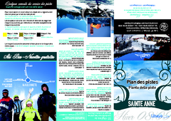
Sainte-Anne la Condamine Ski Trail Map
Trail map from Sainte-Anne la Condamine.
240 miles away
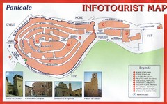
Panicale Tourist Map
Tourist map of small town of Panicale, Italy. Shows major buildings. In Italian. Scanned.
240 miles away
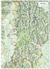
Villages and Sutla River Valley Bike Route Map
Bike routes and trails through the villages to the Sutla River Valley in Croatia. Note: The map...
240 miles away

Western Strasbourg Tourist Map
241 miles away
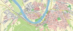
Miltenberg Map
Map of Miltenberg and surrounding area
241 miles away
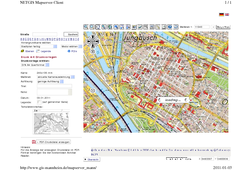
Mannheim Map
241 miles away
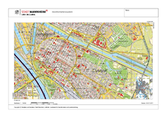
Mannheim Map
241 miles away
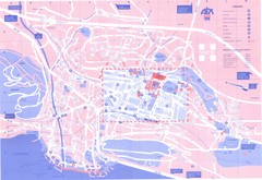
Aix le Bain Map
241 miles away
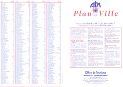
Aix le Bain - index Map
241 miles away
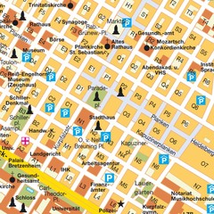
Central Mannheim Mp Map
Street map of Central Mannheim
241 miles away
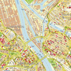
Ludwigshafen City Map
Street map of Ludwigshafen city center
242 miles away
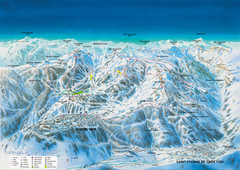
Auron Saint-Etienne-de-Tinée Ski Trail Map
Trail map from Auron Saint-Etienne-de-Tinée.
242 miles away
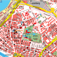
Mannheim Tourist Map
Tourist map of central Mannheim, Germany. Shows points of interest.
242 miles away
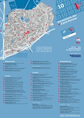
Viernheim Tourist Map
Tourist map of city of Viernheim
242 miles away
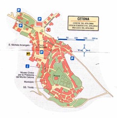
Cetona Map
242 miles away
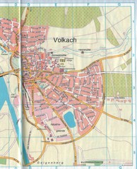
Volkach Map
Street map of town of Volkach
242 miles away

