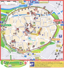
Nördlingen Tourist Map
Tourist street map of Nördlingen
171 miles away
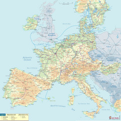
European Railway Map
172 miles away
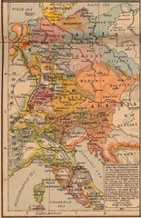
Germany Italy 1803 Map
Germany and Italy in 1803 after the Principle Decree of the Imperial Deputation
173 miles away
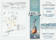
La Tzoumaz Public Transportation Map (French)
173 miles away
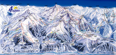
Verbier—Les quatre vallées (Nendaz...
Trail map from Verbier—Les quatre vallées (Nendaz, Veysonnaz), which provides downhill...
173 miles away

Haute Route Ski Tour Map - Verbier Variant
Ski tour topo route map of the European Alps' most famous alpine ski tour connecting two...
173 miles away
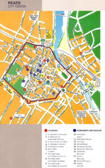
Prato Tourist Map
Tourist map of center of the city of Prato, Italy. Shows points of interest.
174 miles away

Weil am Rhein Tourist Map
Tourist street map of Weil am Rhein
174 miles away
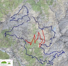
Verbier 60k Course Profile Map
Course Map and Elevation Profile for the Verbier Ultra Run 60k and 20k routes.
174 miles away
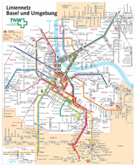
Basel Light Rail and Bus Map
174 miles away
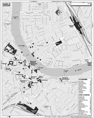
Basel Tourist Map
Tourist map of Basel, Switzerland. Shows museums, accommodations, eating, and drinking spots
174 miles away
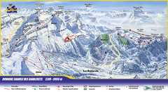
Les Diablerets Ski Trail Map
Trail map from Les Diablerets.
176 miles away
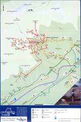
Ovronnaz Tourist Map
Tourist map of Ovronnaz, Switzerland. Shows biking routes, restaurants, and public transport.
176 miles away
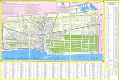
Viareggio Map
176 miles away
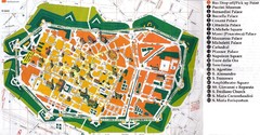
Lucca Italy Tourist Map
176 miles away
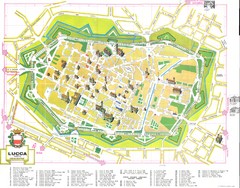
Lucca Map
176 miles away
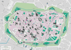
Lucca Tourist Map
Tourist map of walled town of Lucca, Italy. Shows major buildings.
176 miles away

Lucca Map
176 miles away
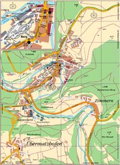
Pappenheim Map
Street map of Pappenheim
177 miles away
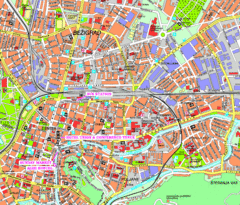
Ljubljana Tourist Map
Tourist map of central Ljubljana, Slovenia.
177 miles away
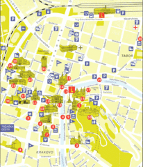
Ljubljana Slovenia Tourist Map
Tourist Map of Ljubljana Slovenia showing sites and roads of the city.
177 miles away
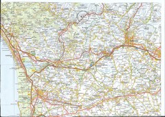
Northwest Tuscany Area Map
Scan of road map of northwestern Tuscany showing Pisa, Lucca, and Pistoia areas.
177 miles away
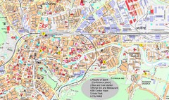
Ljubljana City Map
City map of Ljubljana, Slovenia. Shows some points of interest.
177 miles away
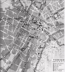
Turin Italy Map
Map of the city of Torino (Turin) from 1913 showing streets, parks and government buildings.
177 miles away
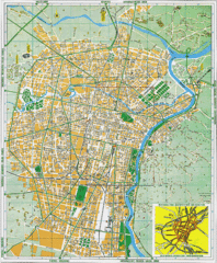
Torino Street Map
Street map of central Torino (Turin), Italy.
177 miles away
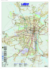
Torino Public Transit Map
Public transportation map of Torino (Turin), Italy
177 miles away
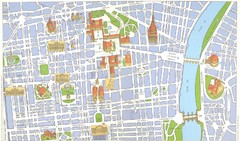
Torino centro Map
177 miles away
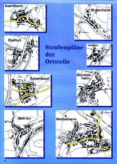
Treuchtlingen Districts Map
Street map of districts within the Treuchtlingen region
178 miles away

Santarcangelo di Romagna Map
179 miles away
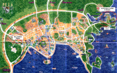
Pula Tourist Map
Tourist map of Pula, Croatia. Bus station highlighted. Scanned.
179 miles away
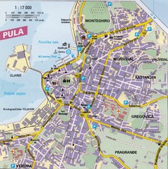
Pula City Map
City map of Pula, Croatia. Shows major streets.
179 miles away
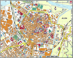
Alba Map
179 miles away
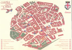
alba Map
179 miles away
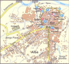
alba Map
179 miles away
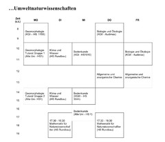
Test Map
179 miles away
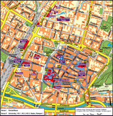
Frieburg Tourist Map
179 miles away
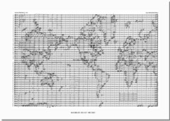
World Music Map
A world map made out of musical notation.
179 miles away

Fiesole Map
180 miles away

Vinci Map
180 miles away

