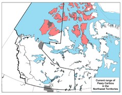
Peary Caribou Range Map
0 miles away
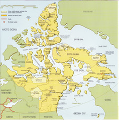
Nunavut Map
Map of Nunavut, Canada. Shows parks and geographical features in the territory.
248 miles away
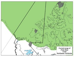
Polar Bear Range in Northwest Territories Map
369 miles away
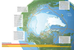
Northwest Passage Map
The ways travel could change if the Northwest Passage were to be re-opened
370 miles away
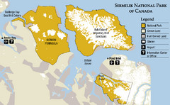
Sirmilik National Park Map
Official map of Sirmilik National Park in Nunavut, Canada. Comprises Borden Peninsula, Bylot...
430 miles away
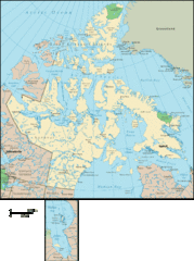
Nunavut Map
Detailed Nunavut Map, newest province in Canada
507 miles away
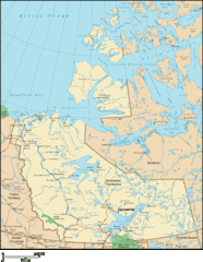
Northwest Territories Map
Overview map of the Northwest Territories of Canada.
542 miles away
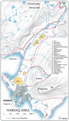
Narssaq City Map
Clearly marked city map and legend.
552 miles away
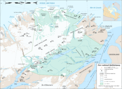
Parc National Quttinirpaaq Map
Map of Quttinirpaaq National Park, Nunavut, Canada. Shows glaciers, rivers, bodies of water, and...
633 miles away
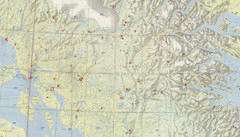
Central Baffin Island Map
635 miles away
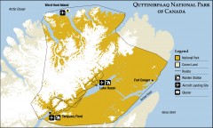
Quttinirpaaq National Park map
Official Parks Canada map of Quttinirpaaq National Park. From Parks Canada website: "Far to...
635 miles away

Inuviauit Settlement Region Map
Northern Alaskan regions
656 miles away
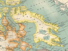
Baffin Island Map
688 miles away
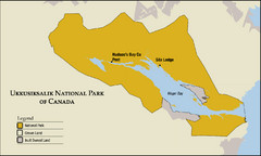
Ukkusiksalik National Park Map
Official map of Ukkusiksalik National Park in Nunavut, Canada around the Wager Bay. Shows national...
702 miles away
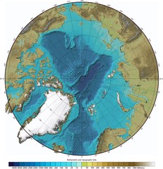
Arctic Ocean Bathymetry Map
721 miles away
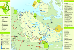
Northwest Territories Map
Overview map of Northwest Territories region, Canada
780 miles away
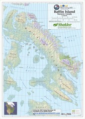
Baffin Island Map
Physical relief map shows national parks and permanent ice. See source for more info on back of...
792 miles away
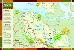
Northwest Territories Outdoor Adventure Map
Outdoor adventure map of Northwest Territories, Canada. Shows Heritage Rivers, Challenging Rivers...
806 miles away
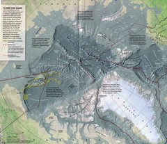
Arctic Ocean floor Map
854 miles away
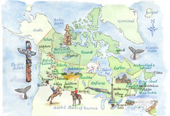
Canadian Tourist Illustrated Map
903 miles away
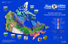
Canada Land Cover Map
Shows color-coded land cover regions of Canada. In French and English.
921 miles away
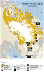
Auyuittuq National Park Map
Official map of Auyuittuq National Park. Shows glacier, emergency shelters, and warden cabins.
924 miles away
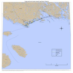
Cape Dorset Map
933 miles away
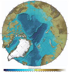
Arctic Ocean Bathymetric Map
Bathymetric map of Arctic Ocean shows all ocean topography and topographical tints for land.
945 miles away
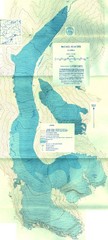
McCall Glacier Topo Map
Topographic map of the McCall Glacier in Alaska.
961 miles away

Arctic Refuge Coastal Plain Map
Guide to birthplace and nursery grounds of the porcupine caribou herd
982 miles away
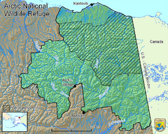
Arctic National Wildlife Refuge Boundary Map
Guide to the Arctic National Wildlife Refuge in Alaska
984 miles away
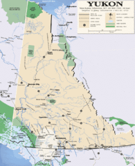
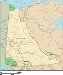
Yukon Map
Overview map of the Yukon Territory, Canada. Shows roads, airports, glaciers, game reserves, and...
999 miles away
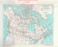
Canada Guide Map
1012 miles away
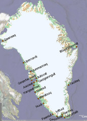
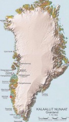
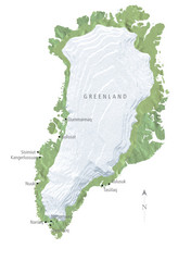
Greenland City Names Map
Map of Greenland shows city names.
1017 miles away
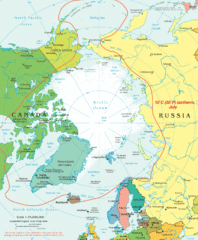
Arctic Map
Top view of all areas included in the Arctic
1022 miles away
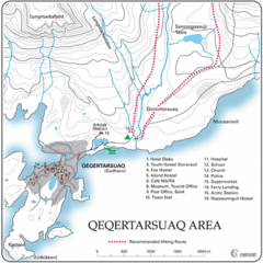
Qeqertarsuaq City Map
Clearly marked city map and detailed legend.
1024 miles away
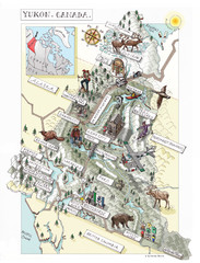
Yukon Territory Canada Map
1076 miles away
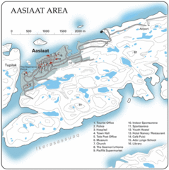
Aasiaat City Map
Clear map and legend of this beautiful city.
1089 miles away
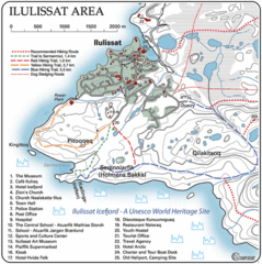
Ilulissat City Map
Detailed map and legend of this amazing city.
1095 miles away
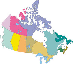
Canada Province Map
1096 miles away

Canada's Import by Country (2003) Map
Cartograms are a great way to present statistical information. The size of each country is re-sized...
1108 miles away

