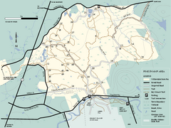
Willowdale State Forest map of Pine Swamp
Trail map of the Pine Swamp area of Willowdale State Park in Massachusetts.
108 miles away
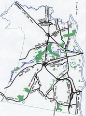
Nashua Parks Map
Map of Nashua, New Hampshire parks
109 miles away
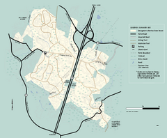
Georgetown-Rowley State Forest summer use map
Summer use map for Georgetown-Rowley State Forest.
109 miles away
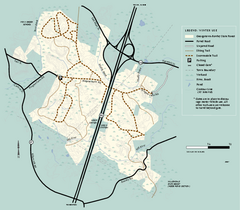
Georgetown-Rowley State Forest winter use map
Winter use map for the Georgetown-Rowley State Forest in Massachusetts.
109 miles away
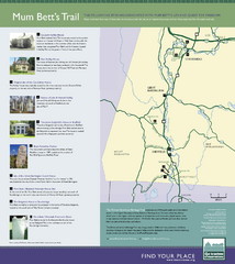
Mum Bett's Trail Map
Historic African American trail guide
110 miles away
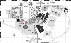
Nassau Community College Map
Campus Map
110 miles away
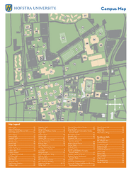
Hofstra University Campus Map
110 miles away
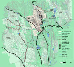
Mt. Grace State Forest trail map
Trail map of Mt. Grace State Forest near Warwick, Massachusetts.
111 miles away
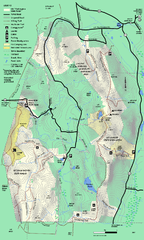
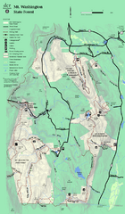
Mt. Washington State Forest trail map
Trail map of Mt. Washington State Forest
111 miles away
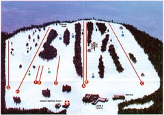
Ski Bradford Ski Trail Map
Trail map from Ski Bradford.
111 miles away
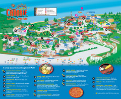
Canobie Lake Park Map
113 miles away
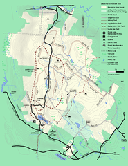
Beartown State Park Summer Map
Summer Map of Beartown State Park in Massachusetts.
113 miles away
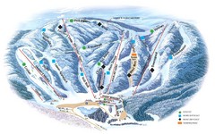
Butternut Ski Area Ski Trail Map
Trail map from Butternut Ski Area.
113 miles away
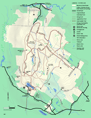
Beartown State Park Winter Map
Winter use map of Beartown State Park in Massachusetts
113 miles away
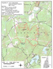
Merrimack Topo Map
A Topographical map Horse Hill Nature Preserve.
114 miles away
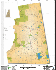
Temple NH Topo Map
Topographical map of Temple, NH area. Shows all roads and points of interest.
114 miles away
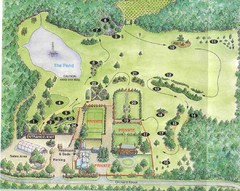
Newbury Perrenial Gardens Guide Map
114 miles away
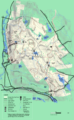
October Mountain State Forest trail map
Trail map of October Mountain State Forest in Massachusetts.
115 miles away
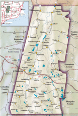
Berkshires Map
Overview map of the Berkshires region of Western Massachusetts
115 miles away
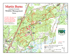
Downfall/Martin Burns WMA Map
115 miles away

City Island Street Map
Street map of City Island, New York
118 miles away
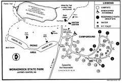
Monadnock State Park map
Campground map of Monadnock State Park in New Hampshire
118 miles away
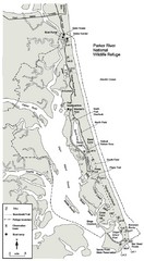
Parker River Map
Map of Parker River National Wildlife Refuge for birdlife
118 miles away
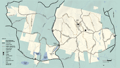
Kenneth Dubuque Memorial State Park trail map
Trail map of the Kenneth Dubuque state park conservation area in Massachusetts.
118 miles away
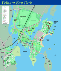
Pelham Bay Park NYC Map
Official detailed map of Pelham bay park, the largest park in New York City at 2,700 acres. Map...
118 miles away
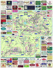
South County Berkshires map
Tourist map of Great Barrington, Housatonic, Sheffield, S. Egremont, N. Egremont Lenox, Stockbridge...
118 miles away
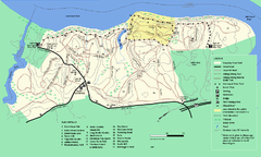
Maudslay State Park trail map
Trail Map of Maudslay State Park in Massachusetts.
118 miles away
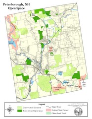
Peterborough Open Space Map
Map of open space lands in Peterborough, New Hampshire
118 miles away
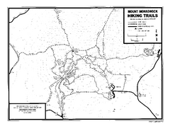
Mount Monadnock State Park Map
Official hiking map of the park. With its thousands of acres of protected highlands, 3,165-ft...
119 miles away
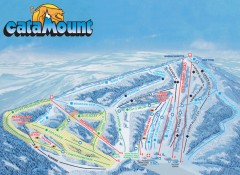
Catamount Ski Trail Map
Official ski trail map of Catamount ski area from the 2006-2007 season.
119 miles away
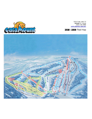
Catamount Ski Area Ski Trail Map
Trail map from Catamount Ski Area.
119 miles away
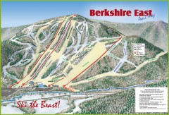
Berkshire East Ski Trail Map
Official ski trail map of Berkshire East ski area from the 2007-2008 season.
119 miles away
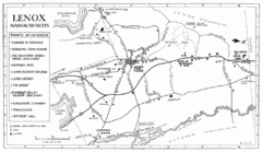
Lenox Town Map
Hand-drawn town map of Lenox, Mass. Bordered by Lenox Mountain and October Mountain. Shows points...
119 miles away
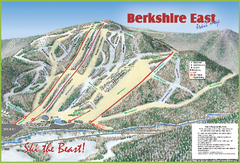
Berkshire East Ski Area Ski Trail Map
Trail map from Berkshire East Ski Area.
120 miles away
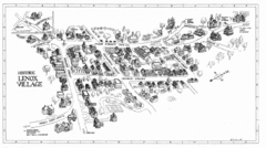
Lenox Village Map
Hand-drawn village map of historic center of Lenox, Massachusetts
120 miles away
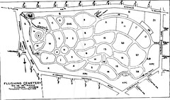
Flushing Cemetery Map
Map of the sections of Flushing Cemetery in Queens
120 miles away
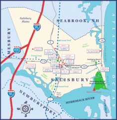
Salisbury Town Map
120 miles away
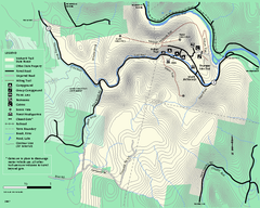
Mohawk Trail State Forest map
Map of the Mohawk Trail State Forest in Charlemont, Massachusetts.
120 miles away
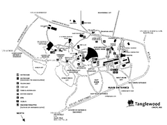
Tanglewood Map
Detailed map of the Tanglewood grounds that includes the location of the Box Office, Friends Office...
120 miles away

