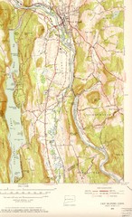
New Milford, Connecticut Map
New Milford, Connecticut topo map with roads, streets and buildings identified
99 miles away
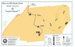
Dennis Hill State Park map
Trail map of Dennis Hill State Park in Connecticut.
99 miles away
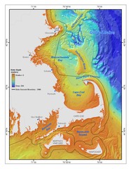
Massachusetts Bay sea floor Map
99 miles away
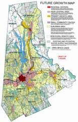
Danbury Regional Growth Map
Guide to future growth of Danbury, CT and surrounds
100 miles away

North Mohawk Mountain State Forest (Winter Trails...
Winter trail map for North Mohawk Mountain State Forest in Connecticut.
100 miles away

North Mohawk Mountain State Forest (Summer Trails...
Summer trail map of the North section of Mohawk Mountain State Forest in Connecticut.
100 miles away
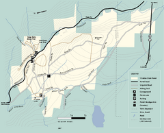
Windsor State Forest trail map
Trail map of Windsor State Forest in Massachusetts.
100 miles away
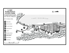
Lake Waramaug State Park campground map
Campground map of Lake Waramaug State Park.
100 miles away
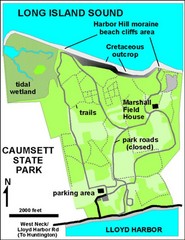
Caumsett State Park Map
Park map of Caumsett State Park on Long Island Sound, New York
100 miles away
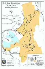
Seth Low Pierrepont State Park Reserve map
Trail map of Seth Low Pierreport State Park in Connecticut.
100 miles away
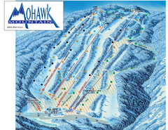
Mohawk Mountain Ski Trail Map
Ski trail map of Mohawk Mountain ski area
100 miles away
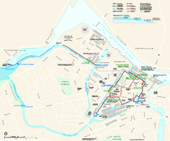
Lowell National Historical Park Official Map
Official NPS map of Lowell National Historical Park in Lowell, Massachusetts. Map shows all of...
101 miles away
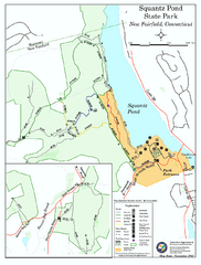
Squantz Pond State Park map
Trail and campground map for Squantz Pond State Park in Connecticut.
101 miles away
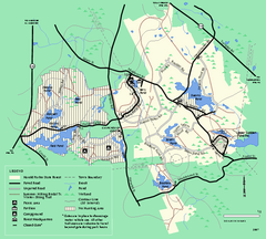
Harold Parker State Forest trail map
Trail map of Harold Parker State Forest in Massachusetts
102 miles away
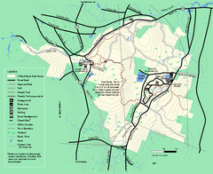
Willard Brook State Forest trail map
Trail map of Willard Brook State Forest in Massachusetts.
102 miles away
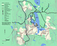
Tolland State Forest winter trail map
Winter usage trail map of the Tolland State Forest area in Massachusetts.
102 miles away
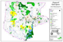
Pepperell Conservation Land and Open Spaces Map
Map showing conservation land and open spaces in Pepperell, MA.
102 miles away
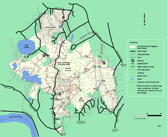
Lowell-Dracut-Tyngsboro State Forest trail map
Trail map for the Lowell-Dracut-Tyngsboro State Forest in Massachusetts
103 miles away
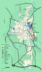
Otter River State Forest summer trail map
Summer trail map of the Otter River State Forest area in Massachusetts.
103 miles away
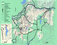
Wendell State Forest trail map
Trail map of Wendell State Forest in Massachusetts.
103 miles away
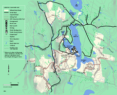
Tolland State Forest summer trail map
Summer use map for Tolland State Forest in Massachusetts.
103 miles away
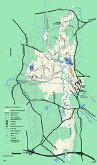
Otter River State Forest winter trail map
Winter usage trail map for Otter River State Park in Massachusetts.
103 miles away
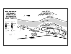
Housatonic State Forest campground map
Campground map of Housatonic State Forest in Connecticut.
103 miles away
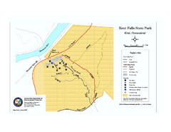
Kent Falls State Park trail map
Trail map of Kent Falls State Park in Connecticut.
103 miles away
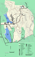
DAR State Forest summer map
Summer use map of the Daughters of the American Revolution state forest.
103 miles away
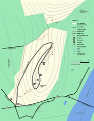
Mt. Sugarloaf State Reservation trail map
Trail map of Mount Sugarloaf State Reservation
104 miles away
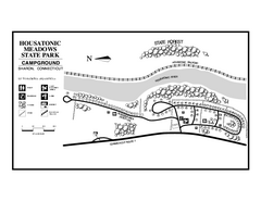
Housatonic Meadows State Park campground map
Campground map for Housatonic Meadows State Park in Connecticut.
104 miles away
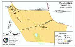
Cambell Falls State Park map
Trail map of Campbell Falls State Park Reserve in Connecticut
104 miles away
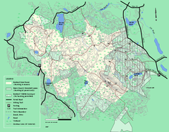
Boxford State Park trail map
Trail map of Boxford State Forest in Massachusetts
105 miles away
Mt. Watatic to Wachusett Mountain, Massachusetts...
106 miles away
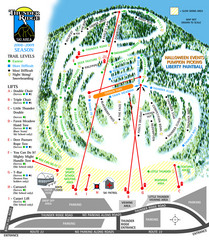
Thunder Ridge Ski Trail Map
Trail map from Thunder Ridge.
106 miles away
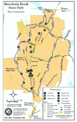
Macedonia Brook State Park trail map
Trail map of Macedonia Brook State Park in Connecticut.
107 miles away
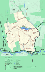
Erving State Park winter use map
Winter use map of the Erving State Park in Massachusetts
107 miles away
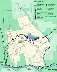
Erving Summer trail map
Summer use map of Erving State Park in Massachusetts.
107 miles away
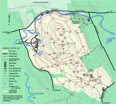
Bradley Palmer State Park winter map
Winter trail map of Bradley Palmer State Park.
107 miles away
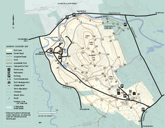
Bradley Palmer State Park summer map
Summer use map of Bradley Palmer State Park in Massachusetts
107 miles away
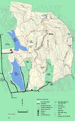
DAR State Forest winter map
Winter use map of the Daughters of the American Revolution State Forest.
107 miles away
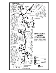
Macedonia Brook State Park campground map
Campground map for Macedonia Brook State Park in Connecticut.
107 miles away
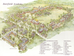
Deerfield Academy Campus Map
Shows buildings and facilities of Deerfield Academy. Scanned.
108 miles away
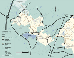
Willowdale State Forest map of Hood Pond
Trail map of the Hood Pond area of the Willowdale State Park in Massachusetts.
108 miles away

