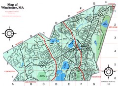
Winchester Town Map
90 miles away

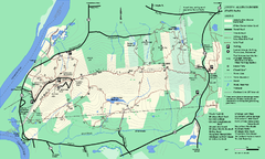
Topsmead State Forest map
Trail map for Topsmead State Forest in Connecticut.
90 miles away
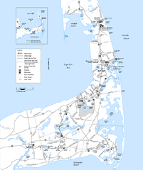
Cape Cod Rail Trail Map
Cape Cod Rail Trail map. The Cape Cod Rail Trail follows a former railroad right-of-way for 22...
90 miles away
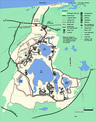
Nickerson State Park trail map
Trail map of Nickerson State Park in Massachusetts.
90 miles away
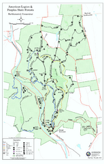
American Legion State Forest trail map
Trail map of American Legion and Peoples State Forests in Connecticut.
90 miles away
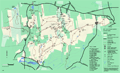
Mount Holyoke Range State Park Map
Trail map of Holyoke Range State Park.
91 miles away
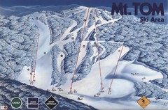
Mount Tom Ski Trail Map
Trail map from Mount Tom, which provides downhill skiing. This ski area opened in 1962.
91 miles away
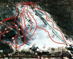
Woodbury Ski Area Ski Trail Map
Trail map from Woodbury Ski Area, which provides downhill, night, nordic, and terrain park skiing...
91 miles away
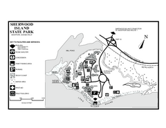
Sherwood Island State Park map
Trail and campground map of Sherwood Island State Park in Connecticut.
91 miles away
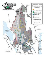
Trout Brook Valley Map
92 miles away
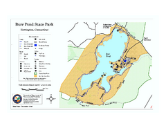
Burr Pond State Park map
Map of Burr Pond State Park in Connecticut.
92 miles away
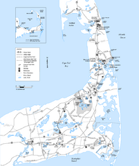
Cape Cod Rail Trail, Cape Cod, Massachusetts Map
Map of the Cape Cod Rail Trail bike path. Shows trails, restrooms, other roads and parking.
92 miles away
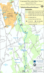
Centennial Watershed State Forest trail map
Trail map of Centennial Watershed State Forest in Connecticut
92 miles away
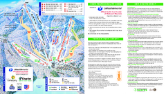
Wachusett Mountain Ski Trail Map
Trail map from Wachusett Mountain.
92 miles away
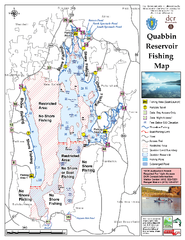
Quabbin Reservoir Fishing Map
Fishing access map of Quabbin Reservoir. Shows all ponds and submerged ponds.
92 miles away
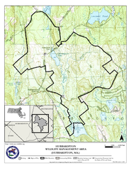
Hubbardston WMA Map
93 miles away
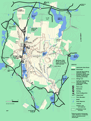
Leominster State Forest trail map
Trail map of Leominster State Forest in Massachusetts
93 miles away
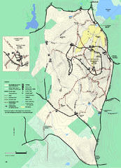
Wachusett Mountain State Reservation trail map
Trail map of Wachusett Mountain State Reservation in Massachusetts.
93 miles away
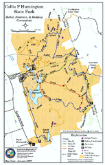
Collis P. Huntington State Park map
Trail map of Collis P. Huntington State Park in Connecticut
93 miles away
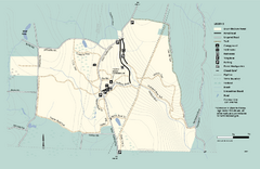
Granville State Forest trail map
Trail map of Granville State Forest in Massachusetts
93 miles away
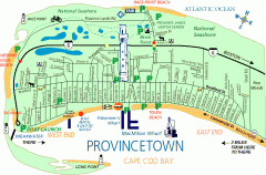
Provincetown, Massachusetts Map
Tourist map of Provincetown, Massachusetts. Shows beaches, visitor's center, bike trails, and...
94 miles away
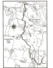
Monoosnoc Trail Map
94 miles away
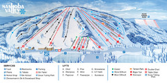
Nashoba Valley Ski Area Ski Trail Map
Trail map from Nashoba Valley Ski Area.
94 miles away
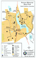
Putnam Memorial State Park map
Trail map for Putnal Memorial State Park in Connecticut,
94 miles away
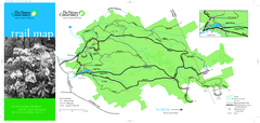
Devil's Den Preserve Map
95 miles away
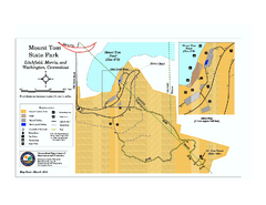
Mount Tom State Park trail map
Trail map of Mt. Tom State Park in Connecticut.
95 miles away
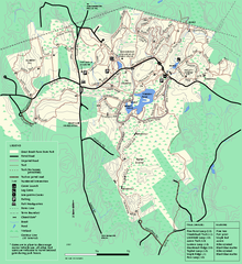
Great Brook Farm State Park trail map
Trail map of Great Brook Farm State Park.
95 miles away
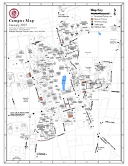
University of Massachusetts - Amherst Map
Campus Map of the University of Massachusetts - Amherst. All buildings shown.
95 miles away
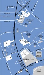
Downtown Amherst, Massachusetts Map
Tourist map of downtown Amherst, Massachusetts, showing attractions, government buildings, atms...
96 miles away
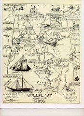
Wellfleet 1930s Tourist Map
A tourist map from the 1930s of Wellfeet, Massachusetts in Cape Cod. Courtesy of Cynthia Blakeley
96 miles away
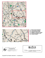
Greater Merrimack Valley, Massachusetts Map
Tourist map of greater Merrimack Valley, Massachusetts. Lodging, forests, and other points of...
96 miles away

Map of Fire Island National Seashore
Official Map of Fire Island National Seashore in New York. Shows all towns and information.
96 miles away
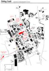
University of Massachusetts Amherst Parking Map
Map of the University of Massachusetts. Includes all buildings, streets, and parking information.
96 miles away
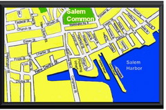
Salem, Massachusetts Guide Map
98 miles away
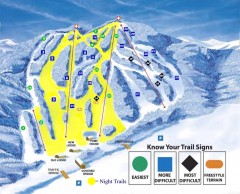
Blandford Ski Trail Map
Official ski trail map of Blandford ski area
98 miles away
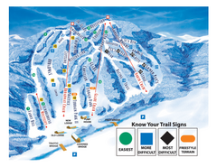
Blandford Ski Area Ski Trail Map
Trail map from Blandford Ski Area.
98 miles away

South Mohawk Mountain State Forest (Winter Trails...
Winter trial map for the Southern Section of Mohawk Mountain State Forest in Connecticut.
98 miles away
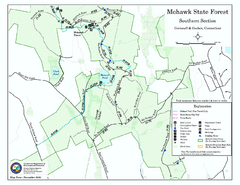
South Mohawk Mountain State Forest (Summer Trails...
Summer trails for South Mohawk State Forest in Connecticut.
98 miles away
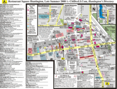
Huntington, New York Restaurant Map
99 miles away

