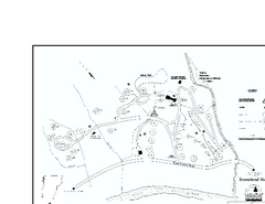
Townshend State Park Campground Map
Campground map of Townshend State Park in Vermont
140 miles away
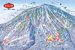
Stratton Mountain Resort Ski Trail Map
Trail map from Stratton Mountain Resort.
140 miles away
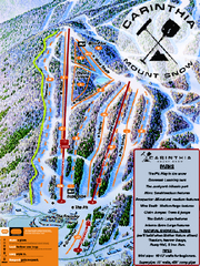
Mount Snow Carinthia Terrain Park Ski Trail Map
Trail map from Mount Snow.
140 miles away
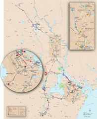
New Hampshire Transit Map
Guide to COAST and Wildcat Transit lines in New Hampshire
141 miles away

Staten Island Subway/Railway Map
141 miles away
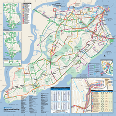
Staten Island Bus Map
Official Bus Map of Staten Island. Shows all routes.
141 miles away
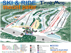
Mt. Peter Ski Area Ski Trail Map
Trail map from Mt. Peter Ski Area.
141 miles away
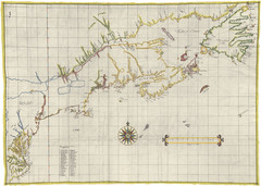
Velasco Map 1610
145 miles away
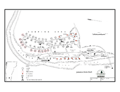
Jamaica State Park Campground Map
Campground map of Jamaica State Park in Vermont
146 miles away
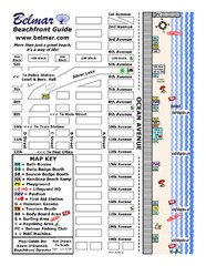
Belmar Tourist Map
Tourist map of Belmar, New Jersey beachfront. Shows beach services.
146 miles away
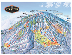
Stratton Mountain ski area trail map 2006-07
Official ski trail map of Stratton Mountain ski area from the 2006-2007 season.
149 miles away
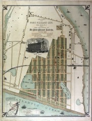
Antique map of Point Pleasant from 1880
Antique map of Point Pleasant, New Jersey from c. 1880.
150 miles away
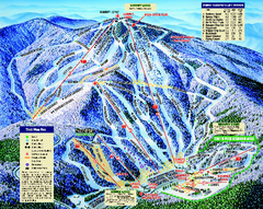
Mount Sunapee Ski Area Ski Trail Map
Trail map from Mount Sunapee Ski Area.
150 miles away
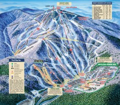
Mt. Sunapee Ski Trail Map
Official ski trail map of Mt. Sunapee ski area from the 2007-2008 season.
150 miles away
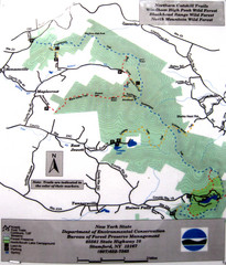
Northern Catskill Trail Map
Trail map shows hiking trails in the northern Catskills of New York. Shows trails in Windham High...
151 miles away

Hidden Valley Ski Trail Map
Trail map from Hidden Valley.
151 miles away
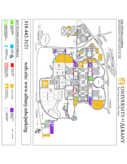
University at Albany Map
Campus Map of the University at Albany. All buildings shown.
151 miles away
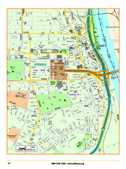
Albany downtown map
Road map of downtown Albany, NY. Shows city parks and New York State government buildings.
151 miles away
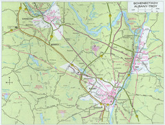
Albany, New York City Map
151 miles away
Shaftsbury State Park Map
Campground map of Shaftsbury State Park in Vermont.
151 miles away
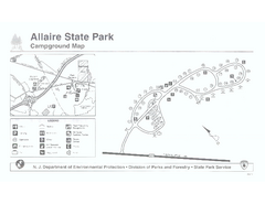
Allaire State Park campground map
Campground map for Allaire State Park in Vermont
152 miles away
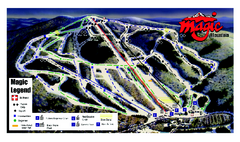
Magic Mountain Ski Trail map
Official ski trail map of Magic Mountain ski area from the 2006-2007 season.
152 miles away
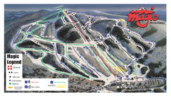
Magic Mountain Ski Trail Map
Trail map from Magic Mountain.
152 miles away
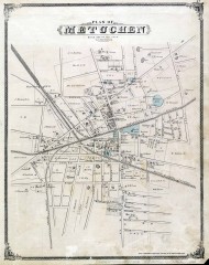
Antique map of Metuchen from 1876
Historic map of Metuchen, New Jersey from 1876
152 miles away

Mountain Creek South Ski Trail Map
Trail map from Mountain Creek.
152 miles away
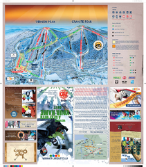
Mountain Creek North Ski Trail Map
Trail map from Mountain Creek.
152 miles away
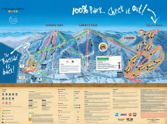
Mountain Creek Ski Trail Map
Official ski trail map of Mountain Creek ski area from the 2007-2008 season. (formerly Vernon...
153 miles away
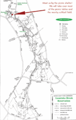
Loantaka Park Map
153 miles away
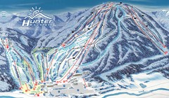
Hunter Mountain Trail Map
Ski trail map
153 miles away
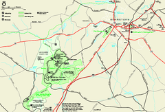
Morristown National Historical Park Official Map
Official NPS map of Morristown National Historical Park in New Jersey. Shows all areas. Tours...
153 miles away
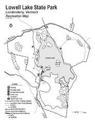
Lowell Lake State Park map
Campground map for Lowell Lake State Park in Vermont
153 miles away
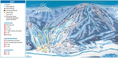
Hunter Mountain ski trail map
Official ski trail map of Hunter Mountain ski area from the 2006-2007 season.
154 miles away
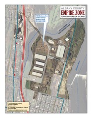
Green Island Map
Aerial town map of Green Island, New York on the Hudson River
154 miles away
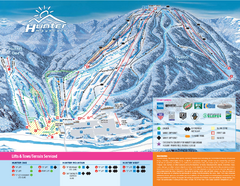
Hunter Mountain Ski Bowl Ski Trail Map
Trail map from Hunter Mountain Ski Bowl.
154 miles away

Downtown Morriston Map
154 miles away
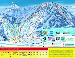
Hunter Mountain Trail Map
154 miles away
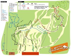
Hunter Mountain Bike Park Map
Map of bike trails in park
155 miles away
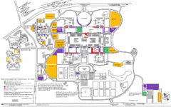
New York State University Uptown Campus Map
Map of the NYS University Campus, including all buildings, streets, and Visitors Parking...
155 miles away
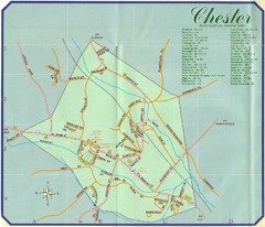
Chester Town Map
155 miles away
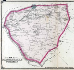
Antique map of Piscataway from 1876
Historic map of Piscataway, New Jersey from 1876.
157 miles away

