
NYC Biking Route Map (Part of Queens, Brookyln...
Official biking route map of part of Queens, Brookyln and Staten Island
131 miles away
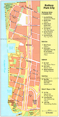
Battery Park City Map
City map of Battery Park City, an area of Manhattan, with art highlighted
131 miles away
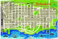
Hoboken Walking Tour map
Walking tour map of Hoboken, NJ. Shows points of interest.
131 miles away
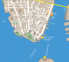
Lower Manhattan Area Map
132 miles away
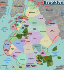
Brooklyn, Neighborhoods Map
132 miles away
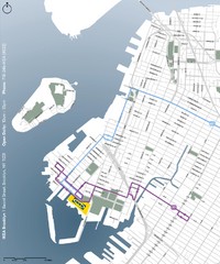
IKEA Brooklyn Map
Location map and map of bus routes and access streets to IKEA in Brooklyn, NY.
132 miles away
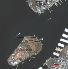
Governor's Island Map
Aerial photo view map of Governor's Island, New York
132 miles away
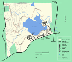
Clarksburg State Park trail map
Trail map of Clarksburg State Park in Massachusetts.
132 miles away
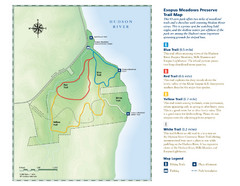
Esopus Meadows Preserve Trail Map
Trail map of Esopus Meadows Preserve park on the Hudson River.
132 miles away
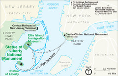
Statue of Liberty National Monument Map
Official NPS map of Statue of Liberty National Monument. Shows Statue of Liberty, Ellis Island, and...
132 miles away
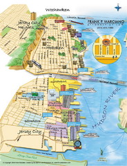
Jersey City, New Jersey City Map
Sketch of Jersey City and Hoboken, New Jersey
133 miles away
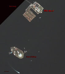
Ellis Island and Statue of Liberty Map
Aerial map of Ellis Island and the Statue of Liberty
133 miles away
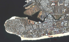
Coney Island Map
Aerial photo Coney Island map
133 miles away
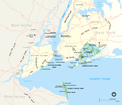
Gateway National Recreation Area Map
Park map of lands in the NPS Gateway National Recreation Area in New York and New Jersey. Shows...
133 miles away
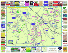
Columbia County - Austerlitz, Canaan, Chatham...
Tourist map of Columbia County including towns of Austerlitz, Canaan, Chatham, East Chatham Ghent...
133 miles away
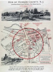
Antique map of Jersey City from 1925
Antique map of Jersey City, New Jersey from 1925.
133 miles away

Poets Walk Trail Map
Guide to Poet's Walk and Hudson River Overlook
133 miles away
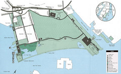
Liberty State Park Map
Map of Liberty State Park, New Jersey on the New York Harbor and next to Ellis Island. Shows...
134 miles away
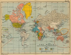
Colonial Posessions and Commercial Highways 1910...
Historical world map (1910) of various colonization and highway expansion
134 miles away
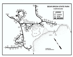
Bear Brook State Park Campground map
Campground map of Bear Brook State Park in New Hampshire
134 miles away
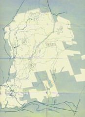
Bear Brook Trails Map
Bear Brook Park Trails and Park map in New Hampshire
134 miles away
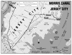
Jersey City Map
135 miles away
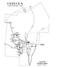
Onteora District Map
Boy Scouts Map of Onteora
136 miles away
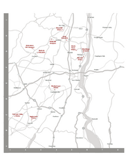
Shawangunk Wine Trail Map
Map of the Shawangunk Wine Trail on the Hudson River in New York. Shows all vineyards and wineries...
136 miles away
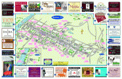
Hudson Tourist Map
Tourist map of Hudson, New York showing all tourist points of interest. Ads around border.
136 miles away
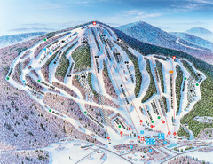
Pats Peak Ski Map
ski trail map of pats peak ski area
137 miles away
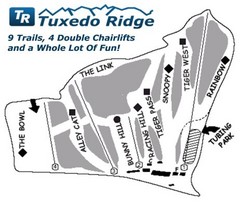
Tuxedo Ridge Ski Trail Map
Trail map from Tuxedo Ridge.
138 miles away
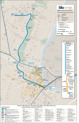
Newark Light Rail system Map
Newark Light rail system
138 miles away
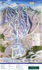
Haystack Club Ski Trail map
Official ski trail map of Haystack ski area from the 2006-2007 season.
138 miles away
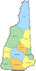
New Hampshire Counties Map
139 miles away
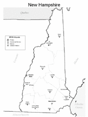
New Hampshire Airports Map
139 miles away
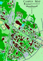
University of New Hampshire Campus Map
University of New Hampshire Campus Map
139 miles away
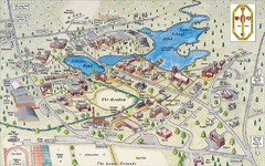
St. Paul's School Campus Map
Campus map of St. Paul's School
139 miles away
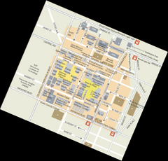
Rutgers University Map
139 miles away
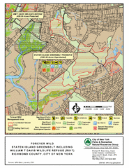
Staten Island Greenbelt Map
139 miles away
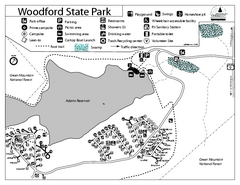
Woodford State Park Campground Map
Campground map for Woodford State Park in Vermont
140 miles away
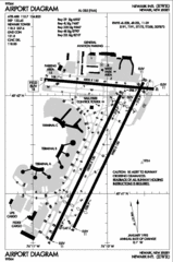
Newark Liberty International Airport Map
140 miles away

Camp Morgan Trail Map
140 miles away
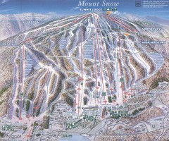
Mount Snow Trail Map 2001
Ski trail map of Mount Snow ski area, estimated 2001
140 miles away
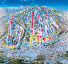
Mount Snow Ski Trail Map - main face
Trail map of main face of Mt Snow ski area near Wilmington, Vermont
140 miles away

