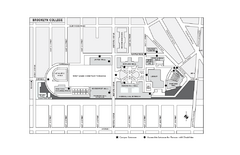
Brooklyn College Campus Map
Brooklyn College Campus Map. All buildings shown.
130 miles away
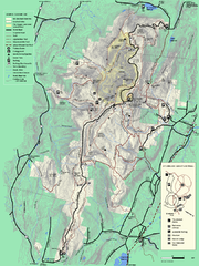
Mt. Greylock State Reservation summer trail map
Summer trail map of the Mt. Greylock State Park area in Massachusetts.
130 miles away
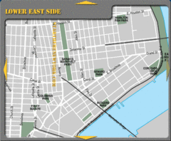
Lower Eastside New York City Hotel Map
130 miles away
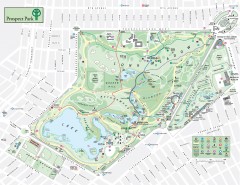
Prospect Park Map
Overview map of Prospect Park, a 585-acre city park located in the heart of Brooklyn. Designed by...
130 miles away
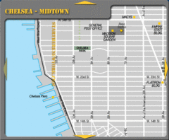
Chelsea Midtown New York City Map
130 miles away
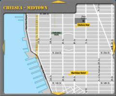
Chelsea Midtown New York City Hotel Map
130 miles away
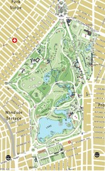
Prospect Park Map
130 miles away
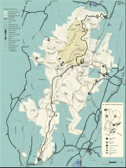
Mt. Greylock State Reservation map
Official summer map of the Mount Greylock State Reservation. At 3,491 feet, Mount Greylock is the...
130 miles away
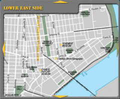
Lower Eastside New York City Tourist Map
130 miles away
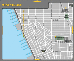
West Village New York City Tourist Map
130 miles away
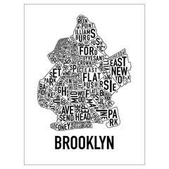
Brooklyn Neighborhood Art Map
Artistic neighborhood map of Brooklyn
130 miles away
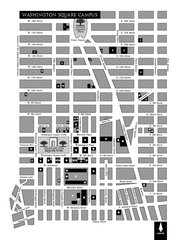
New York University Map
Campus map of New York University. All buildings included.
130 miles away
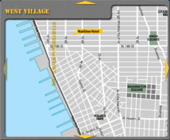
West Village New York City Hotel Map
130 miles away
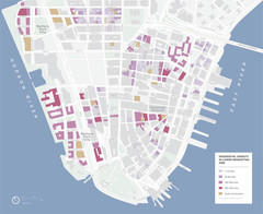
Lower Manhattan Map
130 miles away
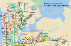
New York City Subway Map
Official MTA map of the NYC subway system... note not drawn to scale.
131 miles away

Downtown Manhattan Tourist Map
Detailed tourist map of Downtown Manhattan showing points of interest and modes of transportation
131 miles away
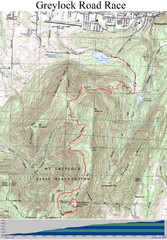
Mt. Greylock Road Race Course Map
Course map of the annual Mount Greylock Road Race. 8 Miles (uphill). Start/Finish: Mt. Williams...
131 miles away
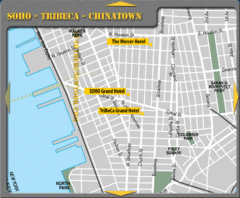
Chinatown New York City Hotel Map
131 miles away

Manhattan Bus Map
131 miles away
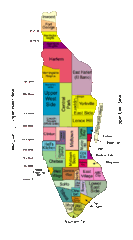
New York Neighborhoods Map
131 miles away
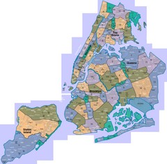
New York: A City of Neighborhoods Map
This is a map of NYC's Community Districts and neighborhoods. This map is pasted together from...
131 miles away

Sanitary & Topographical Map of the City and...
The 1865 Viele Map of Manhattan is still used today to locate springs and streams that have long...
131 miles away
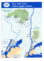
New York City's Water Supply System Map
Map of the reservoirs, aqueducts, and tunnels that supply water to NYC.
131 miles away
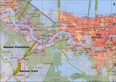
New Orleans Tourist Map
131 miles away
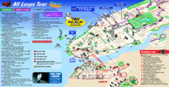
New York City Bus Tour Map
131 miles away
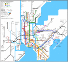
New York City Subway Map
131 miles away
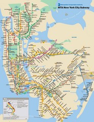
New York City Public Transportation Map
131 miles away
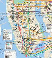
New York City Subway Map
131 miles away
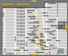
Broadway Theatre New York City Map
131 miles away
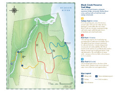
Black Creek Trail Preserve Map
Trail map of Black Creek Preserve on the Hudson River in New York. Shows Yellow Trail, Red Trail...
131 miles away
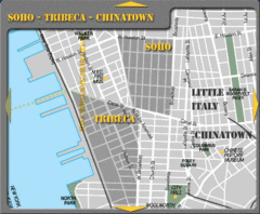
Chinatown New York City Tourist Map
131 miles away
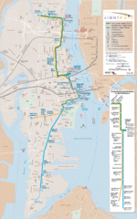
Hudson-Bergen Lightrail Map
Alternative transportation within the city.
131 miles away
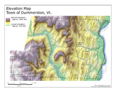
Elevation Map of Dummerston, Vermont
This Hypsometric map is a map that distinguishes elevations progression within a specific...
131 miles away
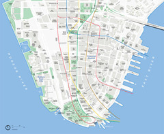
Lower Manhattan Map
131 miles away
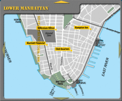
Lower Manhattan New York City Hotel Map
131 miles away
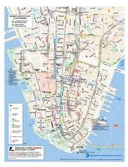
Lower Manhattan Public Transportation Map
Official MTA map of subway, bus, and ferry routes in Lower Manhattan.
131 miles away

Battery Park City Map
131 miles away
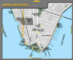
Lowe Manhattan New York City Tourist Map
131 miles away
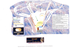
Arrowhead Arrowhead Ski Trail Map
Trail map from Arrowhead.
131 miles away
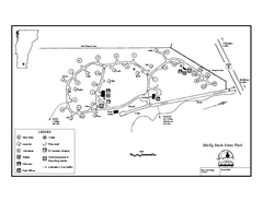
Molly Stark State Park Campground Map
Campground map for Molly State State Park in Vermont
131 miles away

