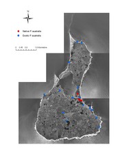
Native and Exotic Phragmites on Block Island Map
0 miles away
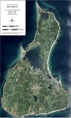
Block Island Aerial Map
Aerial map of Block Island, RI (New Shoreham, RI). True color orthophotography from August 2006.
less than 1 mile away
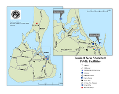
Block Island Road Map
Shows roads and major facilities on Block Island, RI (New Shoreham)
less than 1 mile away
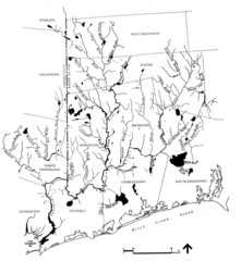
Rhode Island Coastal Watershed Map
Paddling Guide of Pawcatuck River Watershed
16 miles away
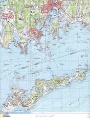
Fishers Island Map
In Long Island Sound
23 miles away
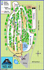
Yawgoo Valley Ski Area Ski Trail Map
Trail map from Yawgoo Valley Ski Area.
23 miles away
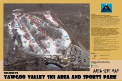
Yawgoo Valley Ski Trail map
Map of Yawgoo Valley Ski area in Exeter, Rhode Island. It is the only skiing resort in Rhode...
23 miles away
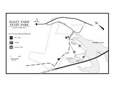
Haley Farm State Park map
Trail map of Haley Farm State Park in Connecticut.
25 miles away
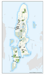
Conanicut Island Land Trust Map
Shows 430 acres of property on Conanicut Island, RI stewarded by the Conanicut Island Land Trust
25 miles away
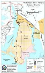
Bluff Point State Park map
Trail map for Bluff Point State Park and Coastal Reserve.
25 miles away
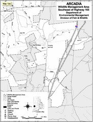
Arcadia Wildlife Management Area Map - Southeast
Reference map shows portion of Arcadia Wildlife Management Area, Rhode Island southeast of Highway...
26 miles away
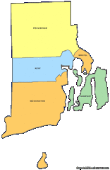
Rhode Island Counties Map
28 miles away
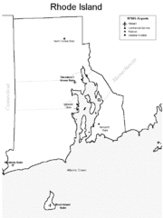
Rhode Island Airports Map
28 miles away
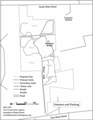
Parker Farm Trail Map
28 miles away

Eastern Long Island Placemat map
Photo of a placemat map from Gosman's Dock Restaurant in Montauk, NY. Shows eastern Long...
29 miles away
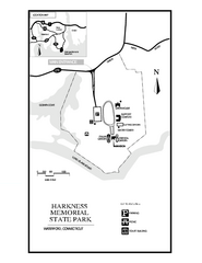
Harkness Memorial State Park map
Trail map of Harkness Memorial State Park in Connecticut.
29 miles away
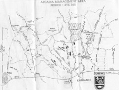
Arcadia Management Area State Map
Trail map for Arcadia Management Area in Rhode Island
29 miles away
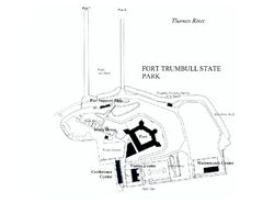
Fort Trumbull State Park map
Map of Fort Trumbull State Park in Connecticut.
29 miles away
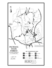
Pachaug State Forest map
Trail map of Pachaug State Forest in Connecticut.
32 miles away
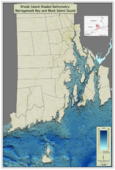
Rhode Island Shaded Bathymetry Map
Bathymetric map of Rhode Island with Narrangansett Bay and Rhode Island Sound. Graduated...
32 miles away
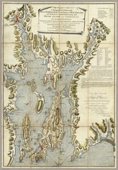
Narrangansett Bay Map 1777
"A Topographical CHART of the BAY of NARRAGANSET in the Province of NEW ENGLAND. with the...
33 miles away
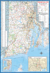
Rhode Island Road Map
Official Rhode Island state highway map. Insets show Newport and Providence.
33 miles away
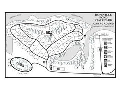
Hopeville Pond campground map
Campground map of Hopeville Pond State Park in Connecticut.
34 miles away
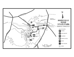
Hopeville Pond State Park trail map
Trail map for Hopevill Pond State Park in Connecticut
34 miles away
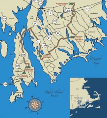
Southeastern New England Wine Trail Map
Map of the Southeastern New England Wine Trail, showing all vineyards and wineries that are members...
34 miles away
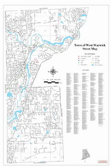
West Warwick Town Map
Street map of W. Warwick
35 miles away
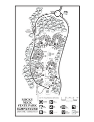
Rocky Neck State Park campground map
Campground map of Rocky Neck State Park in Connecticut.
36 miles away
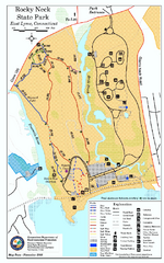
Rocky Neck State Park trail map
Trail map of Rocky Neck State Park in Connecticut.
36 miles away
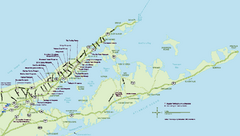
Long Island Wineries Map
Map of LIWC member wineries offering wine tastings to the public.
36 miles away
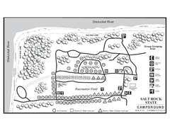
Salt Rock State Park campground map
Campground Map of Salt Rock State Campground in Connecticut.
38 miles away
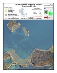
Penekese Island Eelgrass Map
39 miles away
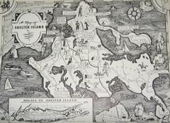
Shelter Island Map
Old Shelter Island map circa 1930s
40 miles away
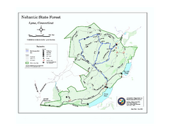
Nehantic State Forest map
Trail map of Nehantic State Forest in Connecticut.
41 miles away
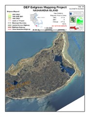
Nashawena Island Eelgrass Map
41 miles away
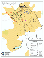
Devils Hophard State Park map
Trail and camprground map for Devils Hopyard State Park in Connecticut.
44 miles away
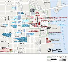
New Bedford Whaling National Historical Park...
Official NPS map of New Bedford Whaling National Historical Park in Massachusetts. Map shows all...
45 miles away
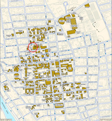
Providence, Rhode Island City Map
45 miles away
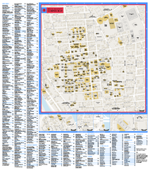
Brown University Campus Map
Official campus map of Brown University.
45 miles away

