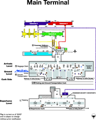
Dulles International Airport Terminal Map
Official Terminal Map of Dulles International Airport. Shows all areas.
218 miles away
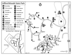
Gifford Woods State Park Campground Map
Campground map of Gifford Woods State Park in Vermont
218 miles away
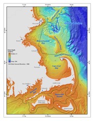
Massachusetts Bay sea floor Map
219 miles away
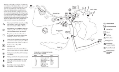
Mason Neck State Park Map
Trail map of Mason Neck State Park near Lornton, Virginia. Shows approx. 3 miles of hiking trails...
219 miles away
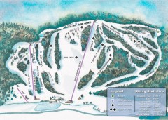
Suicide Six Ski Trail map
Ski trail map of Suicide Six ski area, owned by the Woodstock Inn in Woodstock, VT
219 miles away
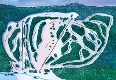
Suicide Six Ski Trail Map
Trail map from Suicide Six.
219 miles away
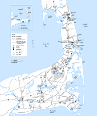
Cape Cod Rail Trail Map
Cape Cod Rail Trail map. The Cape Cod Rail Trail follows a former railroad right-of-way for 22...
219 miles away
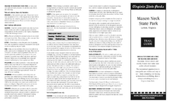
Mason Neck State Park Map
Descriptive map detailing trails, rest stops, and more.
219 miles away
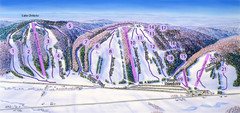
Snow Ridge Ski Trail Map
Trail map from Snow Ridge.
220 miles away
Fort Ticonderoga 1777 Map
220 miles away
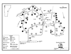
Quechee State Park map
Campground map for Quechee Gorge State Park in Vermont
220 miles away
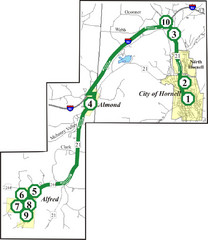
Alfred-Hornell Bus Route Map
221 miles away
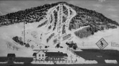
Quechee Lakes Ski Trail Map
Trail map from Quechee Lakes.
221 miles away
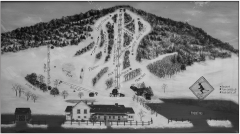
Quechee Club Ski Trail map
Official ski trail map of Quechee ski area from the 2006-2007 season.
221 miles away
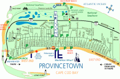
Provincetown, Massachusetts Map
Tourist map of Provincetown, Massachusetts. Shows beaches, visitor's center, bike trails, and...
221 miles away
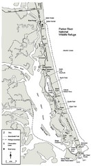
Parker River Map
Map of Parker River National Wildlife Refuge for birdlife
221 miles away
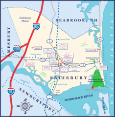
Salisbury Town Map
221 miles away
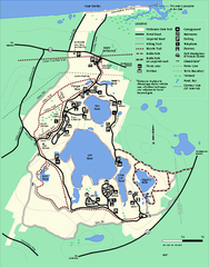
Nickerson State Park trail map
Trail map of Nickerson State Park in Massachusetts.
222 miles away
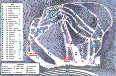
Whaleback Ski Trail Map
A Trail Map of Whaleback Ski Area
222 miles away
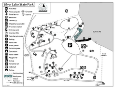
Silver Lake State Park Campground Map
Campground map of Silver Lake State Park in Vermont
222 miles away

Canoe Creek State Park map
Detailed recreation map for Canoe Creek State Park in Pennsylvania
223 miles away

Hunt Hollow Ski Trail Map
Trail map from Hunt Hollow.
223 miles away
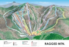
Ragged Mountain Ski trail Map
Official ski trail map of Ragged Mountain ski area from the 2007-2008 season.
223 miles away
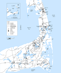
Cape Cod Rail Trail, Cape Cod, Massachusetts Map
Map of the Cape Cod Rail Trail bike path. Shows trails, restrooms, other roads and parking.
223 miles away
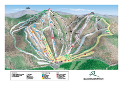
Ragged Mountain Ski Trail Map
Trail map from Ragged Mountain.
223 miles away
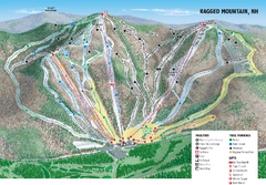
Ragged Mountain Ski Trail Map
Trail map from Ragged Mountain.
223 miles away

Bristol Mountain Ski Resort Ski Trail Map
Trail map from Bristol Mountain Ski Resort.
224 miles away
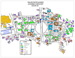
Phillips Exeter Academy Campus Map
Phillips Exeter Academy Campus Map
224 miles away

Warriors Path State Park Map
Detailed recreation map for Warriors Path State Park in Pennsylvania.
225 miles away
Leesylvania State Park Map
Clear map of this small state park.
225 miles away
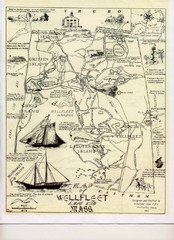
Wellfleet 1930s Tourist Map
A tourist map from the 1930s of Wellfeet, Massachusetts in Cape Cod. Courtesy of Cynthia Blakeley
226 miles away
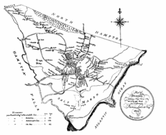
Hampton NH Map 1806
1806 map of Hampton, NH. Shows roads and settlements.
227 miles away
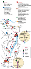
Canadaigua Wine Trail Map
Map of the Canadaigua Wine Map in Canadaigua, New York. Shows all wineries and vineyards in the...
227 miles away
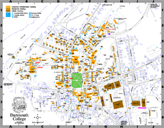
Dartmouth College campus map
Map of Dartmouth College. Shows all academic, administration, residential, and athletic buildings.
227 miles away
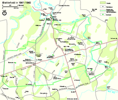
Manassas National Battlefield Park Official Map
Official NPS map of Manassas National Battlefield Park in Virginia.
227 miles away
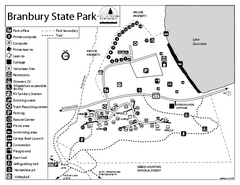
Branbury State Park map
Campground map of Branbury State Park in Vermont
227 miles away
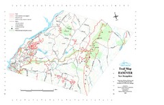
Hanover Trail Map
Recreation trails in Hanover
227 miles away
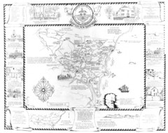
Hampton, New Hampshire Historical Map
Historical map of Hampton, New Hampshire. Illustrated map includes roads and historical buildings.
227 miles away

Bucktail State Park Natural Area map
Detailed map of Bucktail State Park Natural Area in Pennsylvania
228 miles away
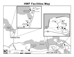
Adirondack Map
Map of Adirondack Park Reserve. Shows Rich Lake Area, Arbutus Area, and the location of the...
229 miles away

