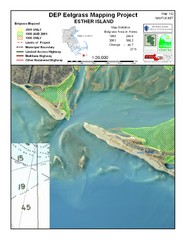
Esther Island Map
DEP Eelgrass map of Esther Island, Nantucket
203 miles away
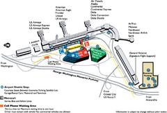
Reagan National Airport DCA Map
204 miles away
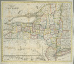
1831 Antique New York State map
The tourist's map of the state of New York : compiled from the latest authorities in the...
204 miles away
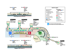
Ronald Reagan Washington National Airport Map
Official Terminal Map of Ronald Reagan Washington National Airport. Shows all areas.
204 miles away
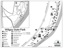
Wilgus State Park Campground Map
Campground map for Wilgus State Park in Vermont
204 miles away
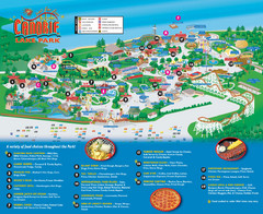
Canobie Lake Park Map
205 miles away
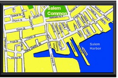
Salem, Massachusetts Guide Map
205 miles away
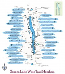
Seneca Lake Wine Trail Map
Winery tour map of Seneca Lake area in New York. Shows all vineyards that are members of the wine...
205 miles away
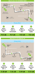
DC Metro Route Between King Street and Potomac...
206 miles away
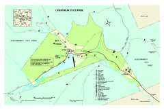
Lyman Run State Park Map
Detailed recreation map for Lyman Run State Park in Pennsylvania
206 miles away
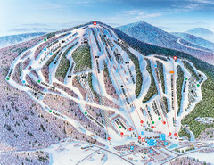
Pats Peak Ski Map
ski trail map of pats peak ski area
206 miles away
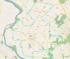
SugarLoaf Mountain Poolsville Loop Map
Area map of the 45 or 60 mile bike ride of Poolsville Loop around Sugarloaf Mountain.
206 miles away
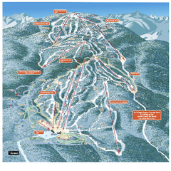
Gore Mountain Ski Trail Map
Trail map from Gore Mountain.
206 miles away
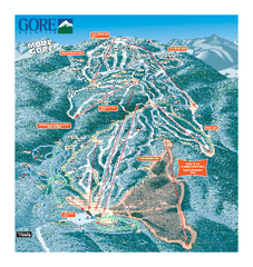
Gore Mountain Ski Trail Map
Trail map from Gore Mountain.
206 miles away
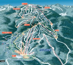
Gore Mountain Ski Trail Map
Official ski trail map of Gore Mountain ski area from the 2007-2008 season.
206 miles away
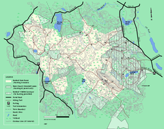
Boxford State Park trail map
Trail map of Boxford State Forest in Massachusetts
207 miles away
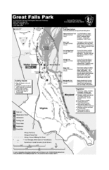
Great Falls Park Map
207 miles away
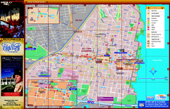
Alexandria City Tourist Map
Tourist street map of city
207 miles away
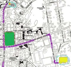
Manchester, New Hampshire City Map
207 miles away
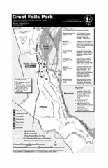
Great Falls Park Map
207 miles away

Cape Cod Hospital Map
Campus map of Cape Cod Hospital
207 miles away

Cape Cod Hospital Map
Map of external vicinity of Cape Cod Hospital
207 miles away
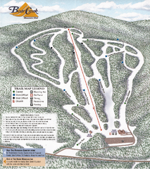
Bear Creek Mountain Club Ski Trail map
Official ski trail map of Bear Creek Mountain ski area.
207 miles away
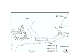
Ascutney State Park map
Campground map of Ascutney State Park in Vermont
207 miles away
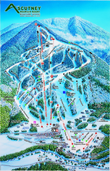
Ascutney Mountain Ski Trail Map 2006-07
Official ski trail map of Ascutney ski area from the 2006-2007 season.
208 miles away

Kettle Creek State Park Map
Detailed map of Kettle Creek State Park in Pennsylvania.
208 miles away
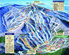
Mount Sunapee Ski Area Ski Trail Map
Trail map from Mount Sunapee Ski Area.
208 miles away
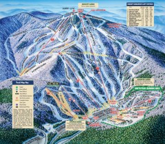
Mt. Sunapee Ski Trail Map
Official ski trail map of Mt. Sunapee ski area from the 2007-2008 season.
208 miles away
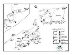
Coolidge State Park Campground Map
Campground map of Coolidge State Park in Vermont
208 miles away
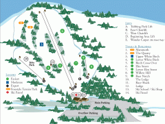
McIntyre Ski Trail Map
Official ski trail map of McIntyre ski area.
209 miles away
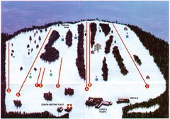
Ski Bradford Ski Trail Map
Trail map from Ski Bradford.
209 miles away
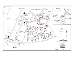
Bomoseen State Park map
Campground map of Bomoseen State Park in Vermont
209 miles away
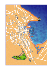
Nantucket Town Street Map
Tourist map of town of Nantucket on Nantucket Island. Shows major streets and points of interest...
210 miles away
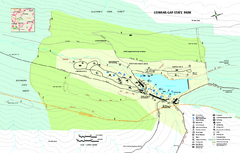
Cowans Gap State Park map
Detailed recreation map for Cowans Gap State Park in Pennsylvania
211 miles away
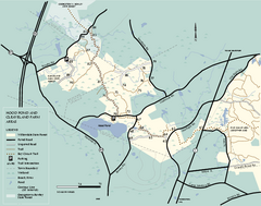
Willowdale State Forest map of Hood Pond
Trail map of the Hood Pond area of the Willowdale State Park in Massachusetts.
211 miles away
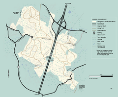
Georgetown-Rowley State Forest summer use map
Summer use map for Georgetown-Rowley State Forest.
211 miles away
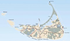
Tourist Map of Nantucket Island
Tourist map of Nantucket Island. Shows all towns and information.
211 miles away
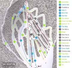
Ski Denton Ski Trail Map
Trail map from Ski Denton.
211 miles away

Black Moshannon State Park map
Detailed map for Moshannon State Park in Pennsylvania.
211 miles away
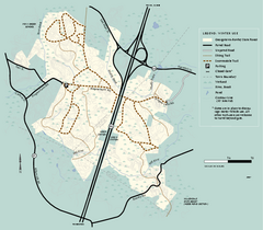
Georgetown-Rowley State Forest winter use map
Winter use map for the Georgetown-Rowley State Forest in Massachusetts.
211 miles away

