
Greenwood Furnace State Park Ma Map
Detailed map of Greenwood Furnace State Park in Pennsylvania
195 miles away
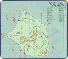
Chester Town Map
195 miles away
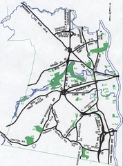
Nashua Parks Map
Map of Nashua, New Hampshire parks
195 miles away
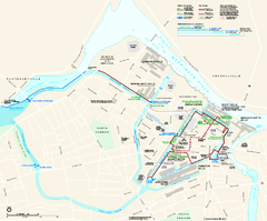
Lowell National Historical Park Official Map
Official NPS map of Lowell National Historical Park in Lowell, Massachusetts. Map shows all of...
195 miles away
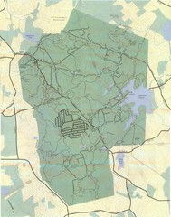
Wompatuck Park Trail Map
Map of Wompatuck Park including trails and roads and park features
196 miles away

Syracuse University Map
Syracuse University Campus Map. All buildings shown.
196 miles away
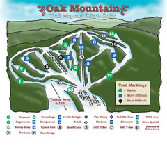
Oak Mountain Ski Center Ski Trail Map
Trail map from Oak Mountain Ski Center.
196 miles away
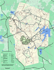
Wompatuck State Park trail map
Trail map of Wompatick State Park in Massachusetts.
196 miles away
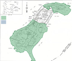
Thompson Island Easement Map
Map of Thompson Island easement. Includes roads, buildings, trails and attractions as well as the...
196 miles away
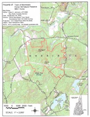
Merrimack Topo Map
A Topographical map Horse Hill Nature Preserve.
197 miles away
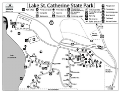
Lake St. Catherine State Park Campground Map
Campground map of St. Catherine State Park in Vermont
197 miles away
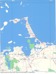
Hull Town Map
197 miles away
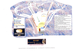
Arrowhead Arrowhead Ski Trail Map
Trail map from Arrowhead.
198 miles away

Camp Morgan Trail Map
198 miles away
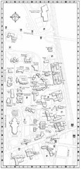
Catholic University of America Campus Map
Campus map of the Catholic University of America in Washington D.C.
199 miles away
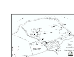
Camp Plymouth State Park map
Map of Camp Plymouth Park in Vermont.
199 miles away
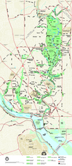
Rock Creek Park map
Map of Rock Creek Park and its immediate surroundings in Washington, DC
199 miles away
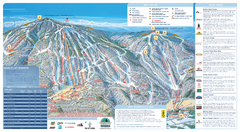
Okemo Ski Trail Map
Ski trail map of Okemo ski area. A James Niehues creation.
199 miles away

Okemo Mountain Resort Ski Trail Map
Trail map from Okemo Mountain Resort.
199 miles away
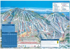
Okemo Mountain Resort ski trail map 2006-07
Official ski trail map of Okemo ski area for the 2006-2007 season. Slopes & Trails 624 acres...
200 miles away
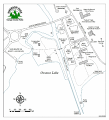
Emerson Park Map
200 miles away

Ole Bull State Park Map
Detailed recreation map of Ole Bull State Park in Pennsylvania
200 miles away
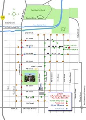
Georgetown Christmas Stroll Paradise Route Map
Walking path through Downtown Georgetown.
200 miles away
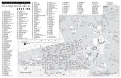
Penn State - University Park Campus Map
Official campus map of the Penn State University Park Campus, 2007-08. Located in the heart of...
200 miles away

Whipple Dam State Park map
Detailed recreation map for Whipple Dam State Park in Pennsylvania
200 miles away
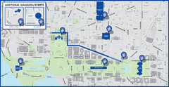
Washington D.C. Tourist Map
Attractions and the city of Washington D.C.
200 miles away
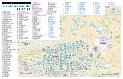
Pennsylvania State University - University Park...
Campus map of Pennsylvania State University - University Park. All buildings shown.
200 miles away
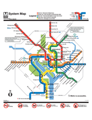
Official Washington DC Metro map
Official color PDF map from the Washington Metropolitan Area Transit Authority. The WMATA operates...
201 miles away
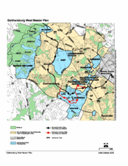
Gaithersburg, Maryland City Map
201 miles away
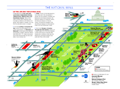
National Mall in Washington, D.C. Map
Official map of the National Mall, including the National Museum of Natural History and other...
202 miles away
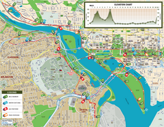
Washington D.C. Marine Corps Marathon Course Map...
Official 2008 course map of the Washington D.C. Marine Corps Marathon
202 miles away
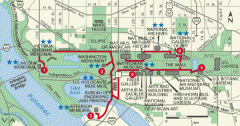
Walking tour of the Washington DC mall Map
Tourist map and walking tour of the National Mall in Washington D.C.
202 miles away
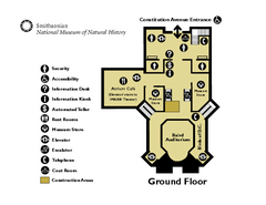
Floor Map of the Smithsonian National Museum of...
Official Floor Map of the Smithsonian National Museum of Natural History in Washington, D.C. Shows...
202 miles away
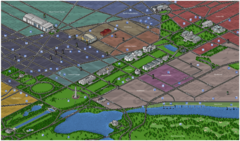
Washington DC Tourist Map
Tourist map of Washington, DC. Bird's-eye view of landmark buildings.
202 miles away
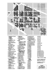
The George Washington University Map
Campus Map of The George Washington University in Washington, D.C. All areas shown.
202 miles away
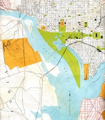
Antique map of Washington D.C. from 1901
Portion of "Map of the District of Columbia" No. D-287, Commission on the Improvement of...
202 miles away
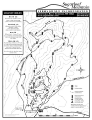
Sugarloaf Mountain Map
202 miles away
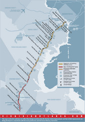
Proposed Expansion of I-95/395 HOV/Bus/Hot Lanes...
202 miles away
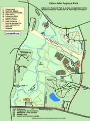
Cabin John Regional Park Map
203 miles away
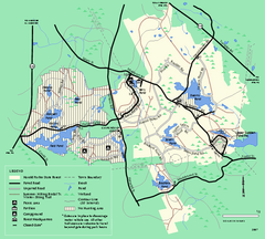
Harold Parker State Forest trail map
Trail map of Harold Parker State Forest in Massachusetts
203 miles away

