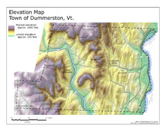
Elevation Map of Dummerston, Vermont
This Hypsometric map is a map that distinguishes elevations progression within a specific...
171 miles away
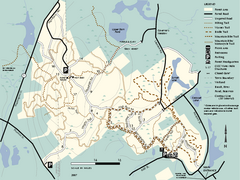
F. Gilbert Hills State Forest trail map
F. Gilbert Hills State Forest trail map in Massachusetts.
171 miles away
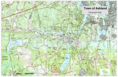
Ashland, MA - Topo Map
Map is provided by the town of Ashland, MA. See town's website for additional maps and...
172 miles away
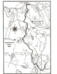
Monoosnoc Trail Map
172 miles away
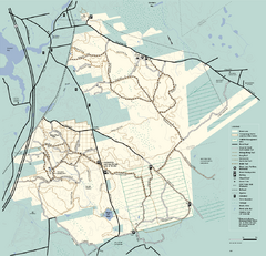
Freetown-Fall River State Forest trail map
Trail map of Freetown-Fall River State Forest in Massachusetts
173 miles away
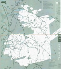
Freetown State Forest Map
Freetown State Forest Map showing mountain biking trails
173 miles away
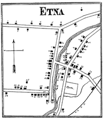
Etna 1897 City Map
Key to the Map of Etna (1897) 1. Mrs. C. Turner. 38. Blacksmith Shop. 2. J. T. Primrose. 39. Houtz...
173 miles away
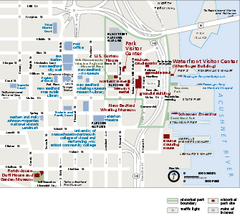
New Bedford Whaling National Historical Park...
Official NPS map of New Bedford Whaling National Historical Park in Massachusetts. Map shows all...
174 miles away
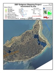
Nashawena Island Eelgrass Map
174 miles away
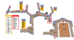
Baltimore Washington International Airport Map
174 miles away
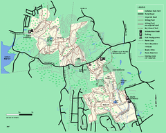
Callahan State Park trail map
Trail map of Callahan State Park in Massachusetts
175 miles away
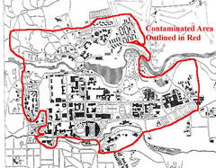
Map of Water contamination at Cornell University...
175 miles away
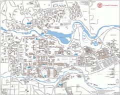
Cornell Campus Map
Map of Cornell University's Ithaca campus
175 miles away
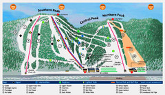
Labrador Mountain Ski Trail Map
Trail map from Labrador Mountain.
175 miles away

Cornell University Map
175 miles away

United States Naval Academy Map
Campus map
176 miles away
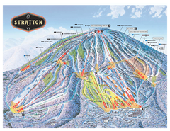
Stratton Mountain ski area trail map 2006-07
Official ski trail map of Stratton Mountain ski area from the 2006-2007 season.
177 miles away
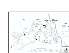
Townshend State Park Campground Map
Campground map of Townshend State Park in Vermont
177 miles away
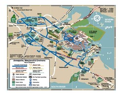
Annapolis Tourist map
177 miles away
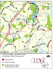
Delaney Conservation Land Map
177 miles away
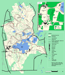
Borderland State Park trail map
Trail map of Borderland State Park in Massachusetts
177 miles away
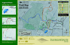
Equinox Preservation Trail map
Trail map of the Equinox Preservation Trust in Manchester, VT. The Equinox Preservation is over...
177 miles away
Mt. Watatic to Wachusett Mountain, Massachusetts...
177 miles away
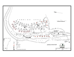
Jamaica State Park Campground Map
Campground map of Jamaica State Park in Vermont
178 miles away
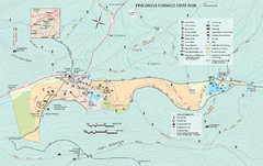
Pine Grove Furnace State Park map
Detailed recreation map for Pine Grove Furnace State Park in Pennsylvania
178 miles away
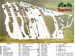
Toggenburg Ski Center Ski Trail Map
Trail map from Toggenburg Ski Center.
178 miles away
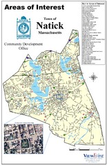
Natick Areas Of Interest Map
Shows points of interest in town of Natick, Massachusetts. Inset of downtown Natick.
178 miles away
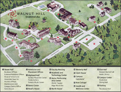
Walnut Hill School Map
Campus Map
178 miles away
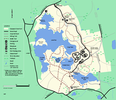
Massasoit State Park trail map
Trail map of Massasoit State Park in Massachusetts
178 miles away
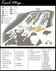
Ski Sawmill Ski Trail Map
Trail map from Ski Sawmill.
179 miles away

Gettysburg Battlefield Map
179 miles away
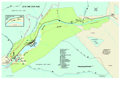
Little Pine State Park Map
Detailed recreation map for Little Pine State Park in Pennsylvania
179 miles away
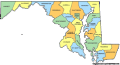
Maryland Counties Map
179 miles away
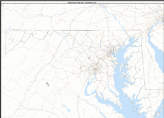
Maryland Zip Code Map
Check out this Zip code map and every other state and county zip code map zipcodeguy.com.
179 miles away
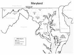
Marylands Airports Map
179 miles away
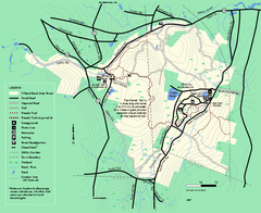
Willard Brook State Forest trail map
Trail map of Willard Brook State Forest in Massachusetts.
179 miles away
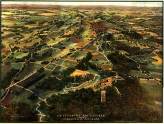
Gettysburg Battlefield in 1913 Map
Bird's eye view map of the Gettysburg Battlefield in 1913 by the Pennsylvania Railroad. From...
179 miles away
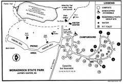
Monadnock State Park map
Campground map of Monadnock State Park in New Hampshire
179 miles away
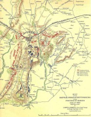
Gettysburg Battlefield map July 2, 1863
Map of the Union and Confederate positions in the Battle of Gettysburg July 2, 1863. "On July...
179 miles away

Colonel Denning State Park map
Detailed map of Colonel Dening State Park in Pennsylvania
180 miles away

