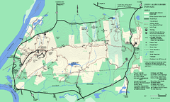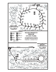
Mashamoquet Brook State Park campground map
Campground map of Mashamoquet Brook State Park in Connecticut.
134 miles away
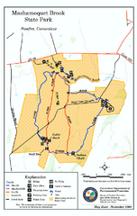
Mashamoquet Brook State Park trail map
Trail map of Mashamoquet Brook State Park in Connecticut.
134 miles away
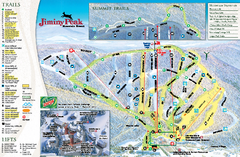
Jiminy Peak Resort Ski Trail Map
Trail map from Jiminy Peak Resort.
134 miles away
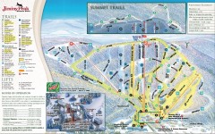
Jiminy Peak Ski Trail Map
Official ski trail map of Jiminy Peak ski area from the 2007-2008 season.
134 miles away
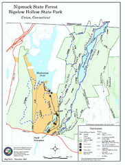
Bigelow Hollow State Park trail map
Trail map of Bigelow Hollow State Park in Connecticut.
134 miles away
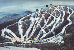
Brodie Ski Trail Map
Trail map from Brodie.
134 miles away
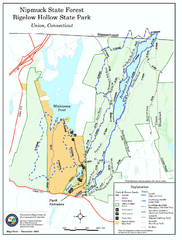
Nipmuck State Forest trail map
Trail map of Nipmuck State Forest and Bigelow Hollow State Park in Connecticut.
134 miles away
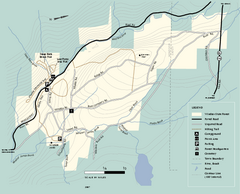
Windsor State Forest trail map
Trail map of Windsor State Forest in Massachusetts.
134 miles away
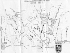
Arcadia Management Area State Map
Trail map for Arcadia Management Area in Rhode Island
135 miles away
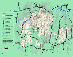
Brimfield State Forest trail map
Trail map of Brimfield State Forest in Massachusetts
135 miles away

Palmer Motorsports Park Map
Track Map for Proposed Palmer Motorsports Park
135 miles away
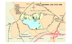
Memorial Lake State Park map
Detailed map of Memorial Lake State Park in Pennsylvania
136 miles away
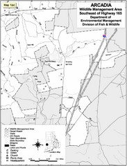
Arcadia Wildlife Management Area Map - Southeast
Reference map shows portion of Arcadia Wildlife Management Area, Rhode Island southeast of Highway...
136 miles away
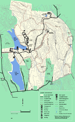
DAR State Forest summer map
Summer use map of the Daughters of the American Revolution state forest.
136 miles away
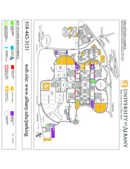
University at Albany Map
Campus Map of the University at Albany. All buildings shown.
136 miles away
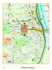
Albany downtown map
Road map of downtown Albany, NY. Shows city parks and New York State government buildings.
136 miles away
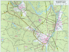
Albany, New York City Map
136 miles away
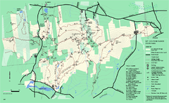
Mount Holyoke Range State Park Map
Trail map of Holyoke Range State Park.
137 miles away
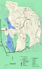
DAR State Forest winter map
Winter use map of the Daughters of the American Revolution State Forest.
137 miles away
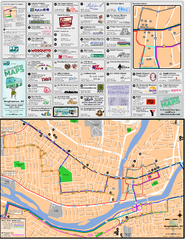
Binghampton Bus Route Map
137 miles away
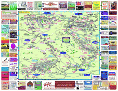
North County Berkshires map
Tourist map of North County - Pittsfield, N. Adams, Adams, Lanesboro, Cheshire, Williamstown...
138 miles away
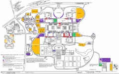
New York State University Uptown Campus Map
Map of the NYS University Campus, including all buildings, streets, and Visitors Parking...
138 miles away
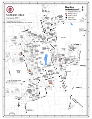
University of Massachusetts - Amherst Map
Campus Map of the University of Massachusetts - Amherst. All buildings shown.
140 miles away
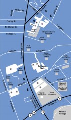
Downtown Amherst, Massachusetts Map
Tourist map of downtown Amherst, Massachusetts, showing attractions, government buildings, atms...
140 miles away

Hershey Park Official Map
Official 2007 map of the Hershey Theme Park in Hershey, PA
141 miles away
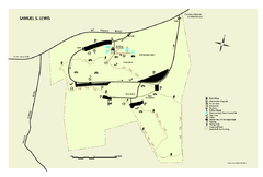
Samuel S. Lewis State Park map
Recreation map for Samuel Lewis State Park in Pennsylvania
141 miles away
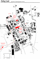
University of Massachusetts Amherst Parking Map
Map of the University of Massachusetts. Includes all buildings, streets, and parking information.
141 miles away
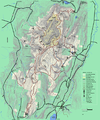
Mt. Greylock State Reservation winter trail map
Winter use trail map of Mt. Greylock State Park in Massachusetts.
142 miles away
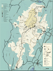
Mt. Greylock State Reservation map
Official summer map of the Mount Greylock State Reservation. At 3,491 feet, Mount Greylock is the...
142 miles away
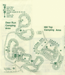
Gilbert Lake State Park Camping Map
142 miles away
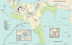
Worlds End State Park map
Detailed recreation map for Worlds End State Park in Pennsylvania
142 miles away
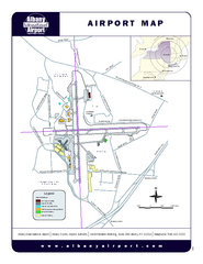
Albany International Airport Map
Official Map of the Albany International Airport in New York. Shows all terminals.
142 miles away
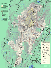
Mt. Greylock State Reservation summer trail map
Summer trail map of the Mt. Greylock State Park area in Massachusetts.
142 miles away
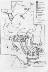
Gilbert Lake State Park Map
143 miles away
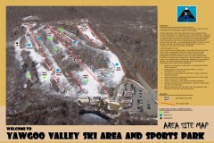
Yawgoo Valley Ski Trail map
Map of Yawgoo Valley Ski area in Exeter, Rhode Island. It is the only skiing resort in Rhode...
143 miles away
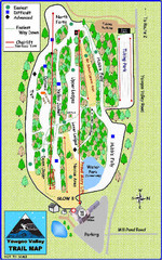
Yawgoo Valley Ski Area Ski Trail Map
Trail map from Yawgoo Valley Ski Area.
143 miles away
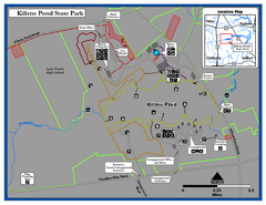
Killens Pond State Park Map
Map of Delaware State Park.
143 miles away
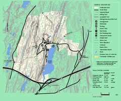
Wells State Park trail map
Trail map of Wells State Park in Massachusetts.
143 miles away
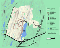
Wells State Park winter trail map
Winter use trail map of Wells State Park in Massachusetts.
143 miles away

