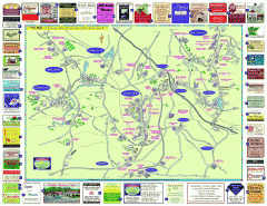
Columbia County - Austerlitz, Canaan, Chatham...
Tourist map of Columbia County including towns of Austerlitz, Canaan, Chatham, East Chatham Ghent...
120 miles away

Oriel College Map
120 miles away
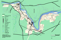
Robinson State Park trail map
Trail map of Robinson State Park in Massachusetts.
120 miles away
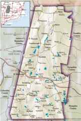
Berkshires Map
Overview map of the Berkshires region of Western Massachusetts
120 miles away
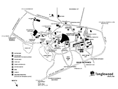
Tanglewood Map
Detailed map of the Tanglewood grounds that includes the location of the Box Office, Friends Office...
121 miles away
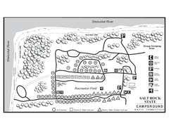
Salt Rock State Park campground map
Campground Map of Salt Rock State Campground in Connecticut.
121 miles away
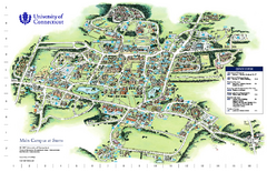
University of Connecticut - Storrs Campus Map
University of Connecticut - Storrs Campus Map. All areas shown.
121 miles away
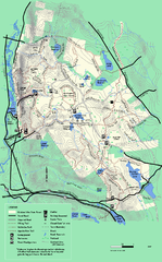
October Mountain State Forest trail map
Trail map of October Mountain State Forest in Massachusetts.
121 miles away
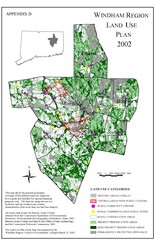
2002 Windham Region Land Use Map
Regional Land Use Guide Map for Planning Purposes
121 miles away
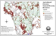
Mansfield Conservation and Development Map
Guide to Agricultural, Forestry and Natural Diversity Resources
121 miles away
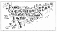
Lenox Village Map
Hand-drawn village map of historic center of Lenox, Massachusetts
122 miles away

Mansfield Cemetery Map
122 miles away
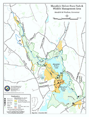
Mansfield Hollow State Park map
Map for Mansfield Hollow State Park and Wildlife Management Area in Connecticut.
122 miles away
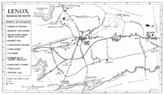
Lenox Town Map
Hand-drawn town map of Lenox, Mass. Bordered by Lenox Mountain and October Mountain. Shows points...
122 miles away
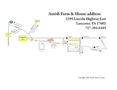
Amish Farm and House Route Map
Map showing directions to the Amish Farm and House with locations of key buildings and streets in...
123 miles away
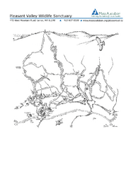
Pleasant Valley Wildlife Sanctuary Trail Map
Trail map of Pleasant Valley Wildlife Sanctuary
123 miles away
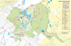
Ricketts Glen State Park map
Detailed recreation map of Ricketts Glen State Park in Pennsylvania
124 miles away
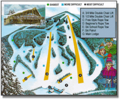
Bousquet Ski Area Ski Trail Map
Trail map from Bousquet Ski Area.
126 miles away
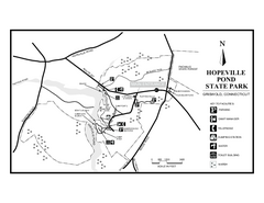
Hopeville Pond State Park trail map
Trail map for Hopevill Pond State Park in Connecticut
127 miles away
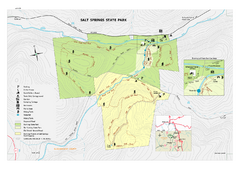
Salt Springs State Park map
Detailed recreation map of Salt Spring State Park in Pennsylvania.
127 miles away
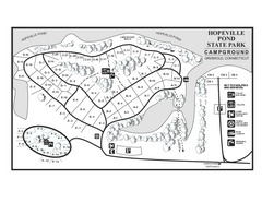
Hopeville Pond campground map
Campground map of Hopeville Pond State Park in Connecticut.
127 miles away
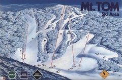
Mount Tom Ski Trail Map
Trail map from Mount Tom, which provides downhill skiing. This ski area opened in 1962.
127 miles away
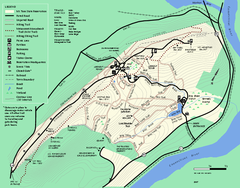
Mt. Tom State Reservation trail map
Trail map of Mt. Tom State Reservation
127 miles away
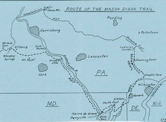
Mason Dixon Trail Map
Hand drawn map of the Mason-Dixon Trail. The 193 mile long Mason-Dixon Trail starts on the...
127 miles away
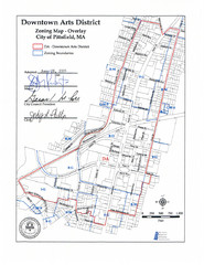
Pittsfield,, Massachusetts City Map
128 miles away
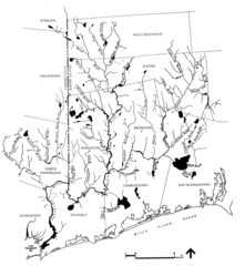
Rhode Island Coastal Watershed Map
Paddling Guide of Pawcatuck River Watershed
128 miles away
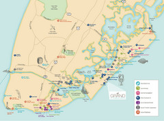
Diamond Beach Tourist Map
128 miles away
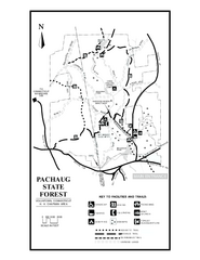
Pachaug State Forest map
Trail map of Pachaug State Forest in Connecticut.
129 miles away
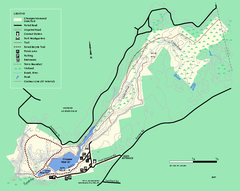
Chicopee State Park trail map
Chicopee State Park trail map
129 miles away
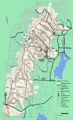
Pittsfield State Forest winter trail map
Winter use trail map of Pittsfield State Forest in Massachusetts.
129 miles away
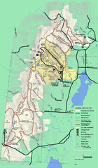
Pittsfield State Forest summer trail map
Summer use trail map of Pittsfield State Forest in Massachusetts.
129 miles away
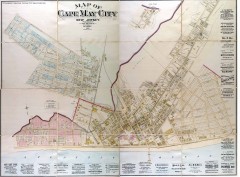
Antique map of Cape May from 1886
Antique map of Cape May, New Jersey from 1886.
130 miles away
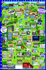
Kent County, Delaware Map
132 miles away

Dissolved Oxygen Concentrations and Trends Map
Delaware's Chesapeake Basin Dissolved Oxygen Concentrations and Trends showing increases and...
132 miles away
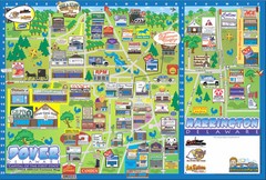
Dover Delaware Cartoon Map
132 miles away
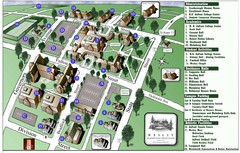
Wesley College Campus Map
Campus map of Wesley College in Dover, Delaware
132 miles away
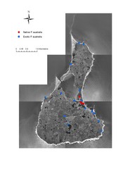
Native and Exotic Phragmites on Block Island Map
133 miles away
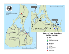
Block Island Road Map
Shows roads and major facilities on Block Island, RI (New Shoreham)
133 miles away
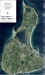
Block Island Aerial Map
Aerial map of Block Island, RI (New Shoreham, RI). True color orthophotography from August 2006.
133 miles away

Susquehannock State Park map
Detailed recreation map for Susquehannock State Park in Pennsylvania
133 miles away

