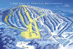
Elk Mountain Ski Trail Map
Trail map from Elk Mountain.
106 miles away
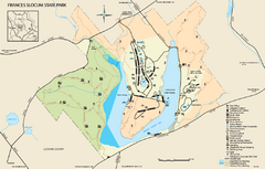
Frances Slocum State Park map
Detailed map of Frances Slocum State Park in Pennsylvania.
106 miles away
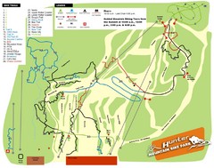
Hunter Mountain Bike Park Map
Map of bike trails in park
107 miles away
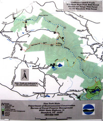
Northern Catskill Trail Map
Trail map shows hiking trails in the northern Catskills of New York. Shows trails in Windham High...
108 miles away
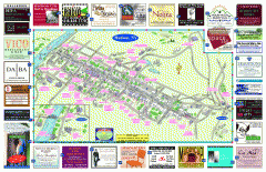
Hudson Tourist Map
Tourist map of Hudson, New York showing all tourist points of interest. Ads around border.
109 miles away
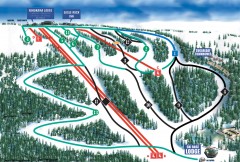
Eagle Rock Ski Trail Map
Official ski trail map of Eagle Rock Resort ski area from the 2007-2008 season.
109 miles away
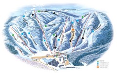
Butternut Ski Area Ski Trail Map
Trail map from Butternut Ski Area.
109 miles away
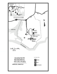
Harkness Memorial State Park map
Trail map of Harkness Memorial State Park in Connecticut.
109 miles away
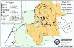
Gay City State Park trail map
Trail map of Gay City State Park in Connecticut.
109 miles away

Locust Lake State Park map
Detailed map of Locust Lake State Park in Pennsylvania
110 miles away
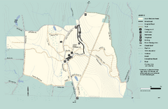
Granville State Forest trail map
Trail map of Granville State Forest in Massachusetts
110 miles away
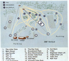
Blue Marsh Ski Area Ski Trail Map
Trail map from Blue Marsh.
111 miles away
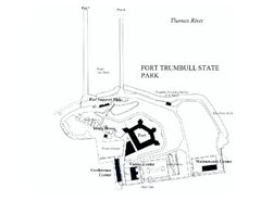
Fort Trumbull State Park map
Map of Fort Trumbull State Park in Connecticut.
111 miles away
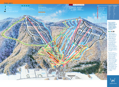
Windham Mountain Ski Trail Map
Trail map from Windham Mountain.
111 miles away
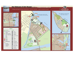
Fort Delaware State Park Map
Nice park on a beautiful island.
111 miles away
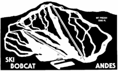
Bobcat Ski Center Ski Trail Map
Trail map from Bobcat Ski Center.
112 miles away
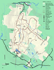
Beartown State Park Winter Map
Winter use map of Beartown State Park in Massachusetts
113 miles away

White Clay Creek Preserve map
White Clay Creek Preserve State Park recreation and trail map
113 miles away
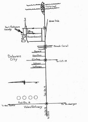
Delaware City Map
City map of Delaware City with Fort Delaware Society highlighted
113 miles away
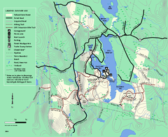
Tolland State Forest summer trail map
Summer use map for Tolland State Forest in Massachusetts.
113 miles away
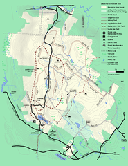
Beartown State Park Summer Map
Summer Map of Beartown State Park in Massachusetts.
113 miles away
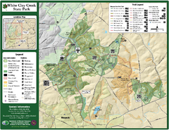
White Clay Creek State Park Map
Clear map and legend of this beautiful state park.
113 miles away
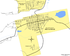
Shenandoah, Pennsylvania Map
113 miles away
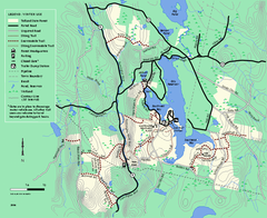
Tolland State Forest winter trail map
Winter usage trail map of the Tolland State Forest area in Massachusetts.
114 miles away
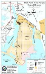
Bluff Point State Park map
Trail map for Bluff Point State Park and Coastal Reserve.
114 miles away
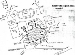
Rockville High School Map
Hand-drawn map of Rockville High School includes all buildings, Parking Lots, and sports fields.
114 miles away
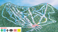
Ski Plattekill Ski Trail Map
Trail map from Ski Plattekill.
115 miles away
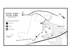
Haley Farm State Park map
Trail map of Haley Farm State Park in Connecticut.
115 miles away
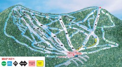
Plattekill Ski Trail Map
Official ski trail map of Plattekill ski area from the 2007-2008 season.
115 miles away

University of Delaware Map
University of Delaware Campus Map. All buildings shown.
115 miles away
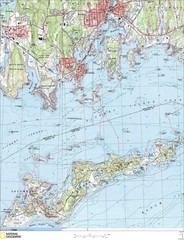
Fishers Island Map
In Long Island Sound
115 miles away
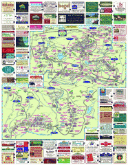
South County Berkshires map
Tourist map of Great Barrington, Housatonic, Sheffield, S. Egremont, N. Egremont Lenox, Stockbridge...
116 miles away
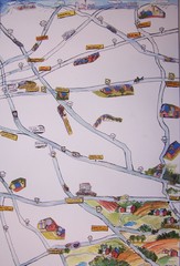
Handrawn Lancaster County Map
Guide to Amish country in Pennsylvania
117 miles away
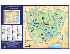
Lums Pond State Park Map
Clear legend and map of this wonderful state park.
118 miles away
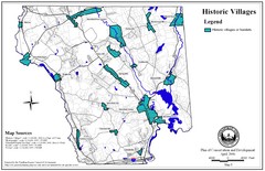
Historic Villages of Mansfield, Connecticut Map
Historical villages outlined on the map of the existing city.
119 miles away
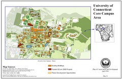
University of Connecticut Campus Map
Map shows current, funded projects and future development for UConn.
119 miles away
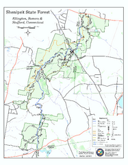
Trail map of Shenipsit State Forest
Trail map of Shenipsit State Forest in Connecticut.
119 miles away

Six Flags New England Theme Park Map
Official Park Map of Six Flags New England in Massachusetts.
119 miles away
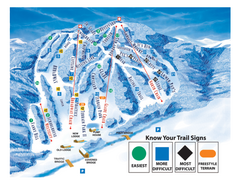
Blandford Ski Area Ski Trail Map
Trail map from Blandford Ski Area.
119 miles away
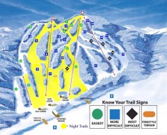
Blandford Ski Trail Map
Official ski trail map of Blandford ski area
119 miles away

