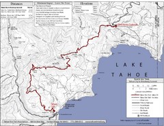
Tahoe Rim Trail Map
27 miles away
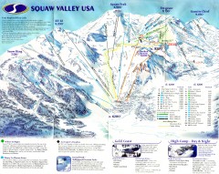
Squaw Valley Ski Trail Map
Scan of ski trail map of Squaw Valley ski area from the 2000-2001 season.
28 miles away
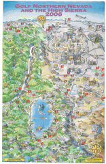
Reno and Lake Tahoe Area Golf map
Illustrated map showing all golf courses in the Reno/lake Tahoe area, 2006 version. To view more...
28 miles away
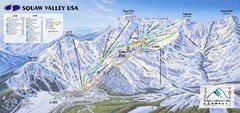
Squaw Valley USA Ski Trail Map
Trail map from Squaw Valley USA, which provides downhill, night, nordic, and terrain park skiing...
28 miles away
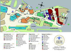
Squaw Valley Base Village Map
Village map of base of Squaw Valley Ski Resort, Lake Tahoe, California. Shows all restaurants...
28 miles away
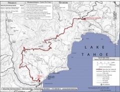
Tahoe Rim Trail: Tahoe City to Brockway Summit Map
Topographic hiking map of the Tahoe City-Brockway Summit leg of the Tahoe Rim Trail. Shows trail...
28 miles away
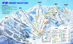
Squaw Valley USA Trail Map
Trail map of Squaw Valley ski area in Lake Tahoe, California
29 miles away

Granite Chief Wilderness Map
Trail map of Granite Chief Wilderness in Lake Tahoe region. Shows trails (inlcuding Pacific Crest...
29 miles away

Carson River Aquatic Trail Map
29 miles away
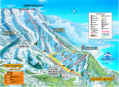
Diamond Peak Ski Trail Map
Trail map from Diamond Peak.
29 miles away
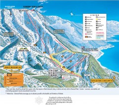
Diamond Peak Ski Trail Map
Official ski trail map of Diamond Peak ski area from the 2007-2008 season.
30 miles away
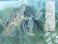
Northstar-at-Tahoe Ski Trail Map
Official trail map of Northstar-at-Tahoe ski area from the 2009-2010 season
30 miles away
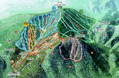
Northstar Ski Trail Map
Official ski trail map of Northstar-at-Tahoe ski area from the 2007-2008 season.
30 miles away
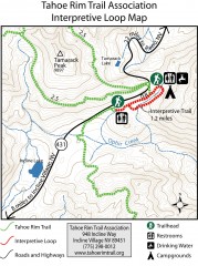
Tahoe Rim Trail: Interpretive Loop, Lake Tahoe...
Trail map of the Tahoe Rim Trail's Interpretive Loop Trail. Shows both trails, camping...
31 miles away
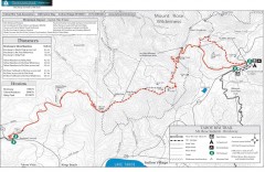
Tahoe Rim Trail: Brockway Summit to Tahoe Meadows...
Trail map of the Brockway Summit-Tahoe Meadows leg of the Tahoe Rim Trail. Bike trails, hiking...
32 miles away
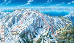
Mt. Rose Ski Trail Map
Official ski trail map of Mt. Rose ski area
34 miles away
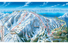
Mt. Rose Ski Tahoe Ski Trail Map
Trail map from Mt. Rose Ski Tahoe.
35 miles away
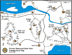
Donner Memorial State Park Campground Map
Map of park with detail of trails and recreation zones
36 miles away
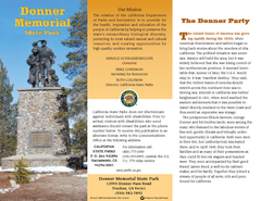
Donner Memorial State Park Map
Map of park with detail of trails and recreation zones
36 miles away
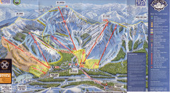
Sugar Bowl Ski Trail Map
Ski trail map of Sugar Bowl ski area from the 2008-09 season. Scanned.
37 miles away
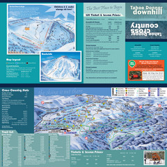
Tahoe Donner Cross Country Ski Trail Map
Ski trail map of Tahoe Donner Association. Shows both downhill and cross-country ski trails...
37 miles away
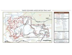
Tahoe Donner Ski Trail Map
Official ski trail map of Tahoe Donner Association. Shows both downhill and cross-country ski...
37 miles away
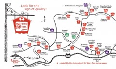
Apple Hill tourist map
Map of Apple Hill growers in Camino, California. Shows vineyards and orchards.
37 miles away
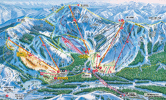
Sugar Bowl Resort Ski Trail Map
Trail map from Sugar Bowl Resort, which provides downhill and terrain park skiing. It has 12 lifts...
37 miles away
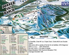
Donner Ski Ranch Ski Trail Map
Trail map from Donner Ski Ranch, which provides downhill and terrain park skiing. It has 6 lifts...
38 miles away

Tahoe Donner Ski Trail Map
Trail map from Tahoe Donner, which provides downhill, night, and nordic skiing. It has 3 lifts...
38 miles away
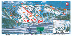
Boreal Ski Trail Map
Official ski trail map of Boreal ski area
39 miles away
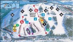
Soda Springs Ski Trail Map
Trail map from Soda Springs, which provides downhill and terrain park skiing. It has 2 lifts...
39 miles away
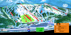
Boreal Mountain Resort Ski Trail Map
Trail map from Boreal Mountain Resort, which provides downhill, night, and terrain park skiing. It...
39 miles away
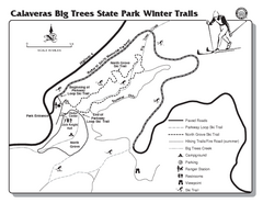
Calaveras Big Trees State Park Winter Map
Map of park with detail of winter ski trails and recreation zones
42 miles away
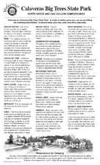
Calaveras Big Trees State Park Map
Map of park with detail of trails and recreation zones
42 miles away
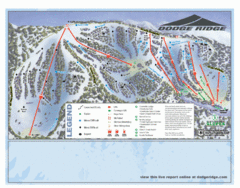
Dodge Ridge Ski Area Ski Trail Map
Trail map from Dodge Ridge Ski Area, which provides downhill, nordic, and terrain park skiing. It...
45 miles away
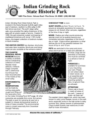
Indian Grinding Rock State Historic Park...
Map of campground region of park with detail of trails and recreation zones
45 miles away
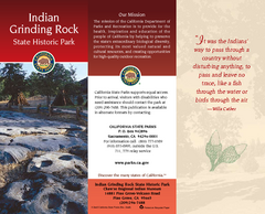
Indian Grinding Rock State Historic Park Map
Map of park with detail of trails and recreation zones
45 miles away
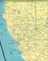
Northern California Map
Map of Northern California including cities, counties, and rivers
47 miles away

Downtown Reno, Nevada Map
Tourist map of Reno, Nevada. Event and convention centers, visitor's center, parks, and other...
49 miles away

Reno Tahoe Tourist Map
49 miles away

Reno, Nevada City Map
49 miles away
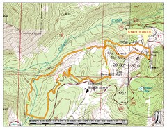
Sky Tavern XC Route Map
Topo map of the XC course for the cycling event.
50 miles away
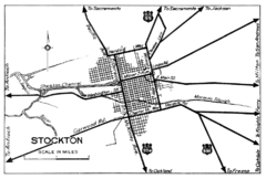
Stockton, California City Map
51 miles away

