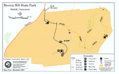
Dennis Hill State Park map
Trail map of Dennis Hill State Park in Connecticut.
123 miles away
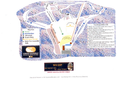
Arrowhead Arrowhead Ski Trail Map
Trail map from Arrowhead.
123 miles away
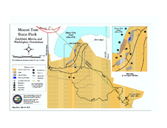
Mount Tom State Park trail map
Trail map of Mt. Tom State Park in Connecticut.
123 miles away

South Mohawk Mountain State Forest (Winter Trails...
Winter trial map for the Southern Section of Mohawk Mountain State Forest in Connecticut.
125 miles away
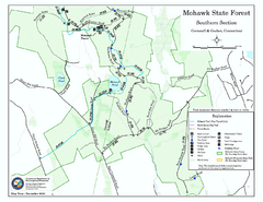
South Mohawk Mountain State Forest (Summer Trails...
Summer trails for South Mohawk State Forest in Connecticut.
125 miles away
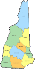
New Hampshire Counties Map
126 miles away
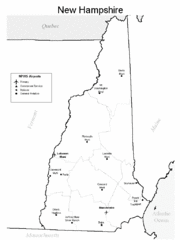
New Hampshire Airports Map
126 miles away
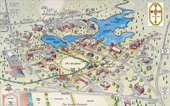
St. Paul's School Campus Map
Campus map of St. Paul's School
126 miles away
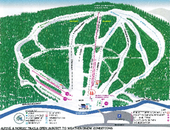
Granite Gorge Ski Trail Map
Trail map from Granite Gorge. This ski area opened in 2005.
126 miles away
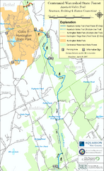
Centennial Watershed State Forest trail map
Trail map of Centennial Watershed State Forest in Connecticut
126 miles away

North Mohawk Mountain State Forest (Winter Trails...
Winter trail map for North Mohawk Mountain State Forest in Connecticut.
126 miles away

North Mohawk Mountain State Forest (Summer Trails...
Summer trail map of the North section of Mohawk Mountain State Forest in Connecticut.
126 miles away
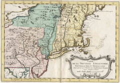
1773 New England Map
French map of New England
126 miles away
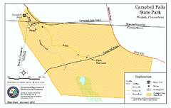
Cambell Falls State Park map
Trail map of Campbell Falls State Park Reserve in Connecticut
126 miles away
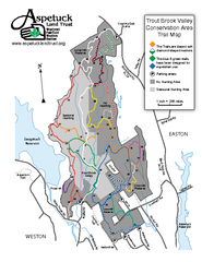
Trout Brook Valley Map
126 miles away
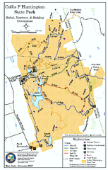
Collis P. Huntington State Park map
Trail map of Collis P. Huntington State Park in Connecticut
127 miles away
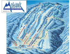
Mohawk Mountain Ski Trail Map
Ski trail map of Mohawk Mountain ski area
127 miles away
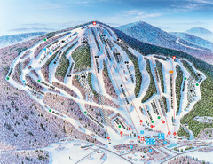
Pats Peak Ski Map
ski trail map of pats peak ski area
127 miles away
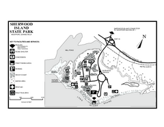
Sherwood Island State Park map
Trail and campground map of Sherwood Island State Park in Connecticut.
128 miles away
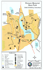
Putnam Memorial State Park map
Trail map for Putnal Memorial State Park in Connecticut,
128 miles away
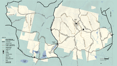
Kenneth Dubuque Memorial State Park trail map
Trail map of the Kenneth Dubuque state park conservation area in Massachusetts.
128 miles away
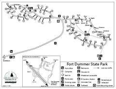
Fort Dummer State Park Campground Map
Campground map of Fort Dummer State Park in Vermont
129 miles away
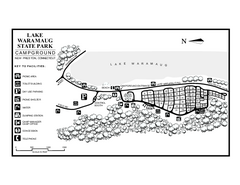
Lake Waramaug State Park campground map
Campground map of Lake Waramaug State Park.
129 miles away
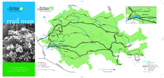
Devil's Den Preserve Map
129 miles away
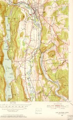
New Milford, Connecticut Map
New Milford, Connecticut topo map with roads, streets and buildings identified
129 miles away
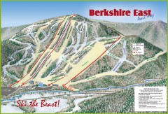
Berkshire East Ski Trail Map
Official ski trail map of Berkshire East ski area from the 2007-2008 season.
129 miles away
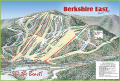
Berkshire East Ski Area Ski Trail Map
Trail map from Berkshire East Ski Area.
130 miles away
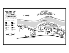
Housatonic State Forest campground map
Campground map of Housatonic State Forest in Connecticut.
130 miles away
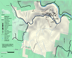
Mohawk Trail State Forest map
Map of the Mohawk Trail State Forest in Charlemont, Massachusetts.
130 miles away
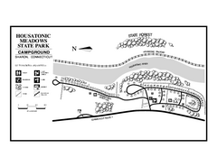
Housatonic Meadows State Park campground map
Campground map for Housatonic Meadows State Park in Connecticut.
130 miles away
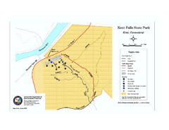
Kent Falls State Park trail map
Trail map of Kent Falls State Park in Connecticut.
131 miles away
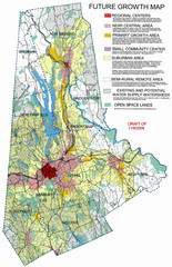
Danbury Regional Growth Map
Guide to future growth of Danbury, CT and surrounds
131 miles away
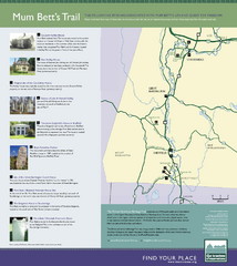
Mum Bett's Trail Map
Historic African American trail guide
132 miles away
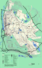
October Mountain State Forest trail map
Trail map of October Mountain State Forest in Massachusetts.
132 miles away
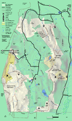
Mt. Washington State Forest trail map
Trail map of Mt. Washington State Forest
133 miles away
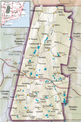
Berkshires Map
Overview map of the Berkshires region of Western Massachusetts
133 miles away
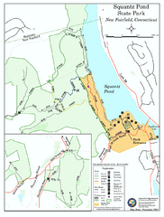
Squantz Pond State Park map
Trail and campground map for Squantz Pond State Park in Connecticut.
133 miles away
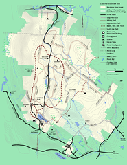
Beartown State Park Summer Map
Summer Map of Beartown State Park in Massachusetts.
133 miles away
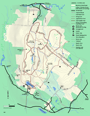
Beartown State Park Winter Map
Winter use map of Beartown State Park in Massachusetts
133 miles away
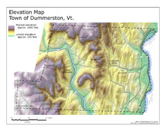
Elevation Map of Dummerston, Vermont
This Hypsometric map is a map that distinguishes elevations progression within a specific...
134 miles away

