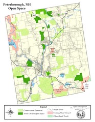
Peterborough Open Space Map
Map of open space lands in Peterborough, New Hampshire
113 miles away
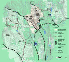
Mt. Grace State Forest trail map
Trail map of Mt. Grace State Forest near Warwick, Massachusetts.
113 miles away
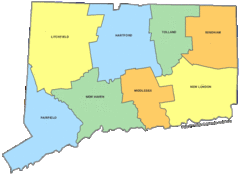
Connecticut Counties Map
113 miles away
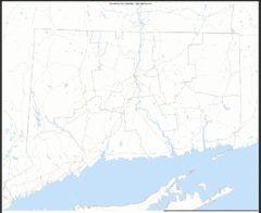
Connecticut Zip Code Map
Check out this Zip code map and every other state and county zip code map zipcodeguy.com.
113 miles away
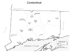
Conneticut Airports Map
113 miles away
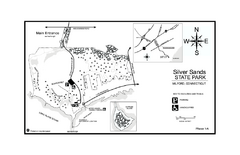
Silver Sands State Park map
Trail and campground map of Silver Sands State Park in Connecticut.
113 miles away
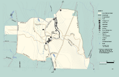
Granville State Forest trail map
Trail map of Granville State Forest in Massachusetts
114 miles away
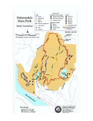
Osbornedale State Park map
Trail map of Osborndale State Park in Connecticut.
114 miles away
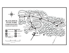
Black Rock Campground map
Map of the Campgrounds in Black Rock State Park.
114 miles away
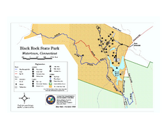
Black Rock State Park trail map
Trail map of Black Rock State Park in Connecticut.
114 miles away
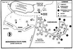
Monadnock State Park map
Campground map of Monadnock State Park in New Hampshire
114 miles away
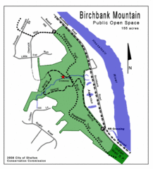
Birchbank Park Map
Several miles of moderately difficult trails along the Housatonic River bluff, including the...
115 miles away
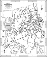
Middlebury, Connecticut Map
115 miles away
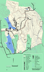
DAR State Forest summer map
Summer use map of the Daughters of the American Revolution state forest.
115 miles away
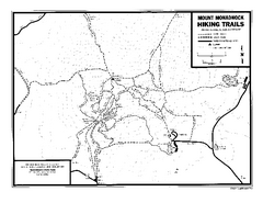
Mount Monadnock State Park Map
Official hiking map of the park. With its thousands of acres of protected highlands, 3,165-ft...
115 miles away
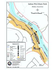
Indian Well State Park map
Trail map for Indian Well State Park in Connecticut.
115 miles away
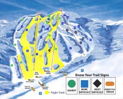
Blandford Ski Trail Map
Official ski trail map of Blandford ski area
115 miles away
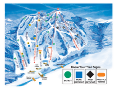
Blandford Ski Area Ski Trail Map
Trail map from Blandford Ski Area.
116 miles away
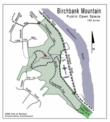
Birchbank Park Map
116 miles away
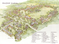
Deerfield Academy Campus Map
Shows buildings and facilities of Deerfield Academy. Scanned.
116 miles away
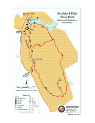
Southford Falls State Park map
Trail map for Southford Falls State Park in Connecticut.
116 miles away
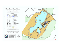
Burr Pond State Park map
Map of Burr Pond State Park in Connecticut.
117 miles away
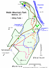
Webb Moutain Park Map
117 miles away

Topsmead State Forest map
Trail map for Topsmead State Forest in Connecticut.
117 miles away
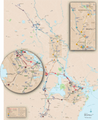
New Hampshire Transit Map
Guide to COAST and Wildcat Transit lines in New Hampshire
117 miles away
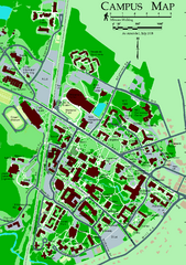
University of New Hampshire Campus Map
University of New Hampshire Campus Map
117 miles away
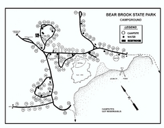
Bear Brook State Park Campground map
Campground map of Bear Brook State Park in New Hampshire
118 miles away
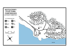
Kettletown State Park campground map
Campground map for Kettletown State Park in Connecticut.
119 miles away
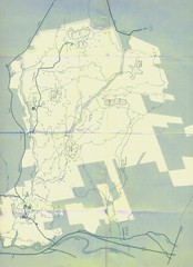
Bear Brook Trails Map
Bear Brook Park Trails and Park map in New Hampshire
119 miles away
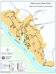
Kettletown State Park trail map
Trail map for Kettletown State Park in Connecticut.
119 miles away
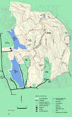
DAR State Forest winter map
Winter use map of the Daughters of the American Revolution State Forest.
119 miles away
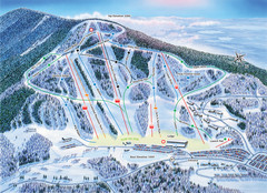
Crotched Mountain Ski Trail Map
Trail map from Crotched Mountain.
119 miles away
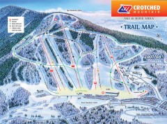
Crotched Mountain Ski Trail Map
Official ski trail map of Crotched Mountain ski area from the 2007-2008 season.
119 miles away
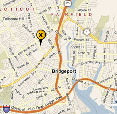
Bridgeport, Connecticut City Map
120 miles away
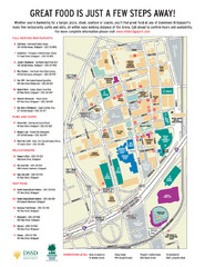
Arena at Harbor Yard Restaurants Map
List of many delicious restaurants and eateries.
120 miles away
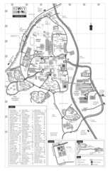
Stony Brook University Map
121 miles away
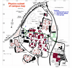
University of New York at Stony Brook Campus Map
121 miles away
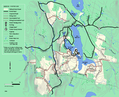
Tolland State Forest winter trail map
Winter usage trail map of the Tolland State Forest area in Massachusetts.
121 miles away
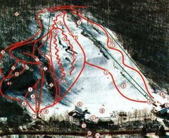
Woodbury Ski Area Ski Trail Map
Trail map from Woodbury Ski Area, which provides downhill, night, nordic, and terrain park skiing...
122 miles away
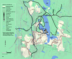
Tolland State Forest summer trail map
Summer use map for Tolland State Forest in Massachusetts.
122 miles away

