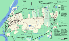
Mt. Watatic to Wachusett Mountain, Massachusetts...
100 miles away
Appalachian National Scenic Trail Map
Scenic trail Maine to Georgia
100 miles away
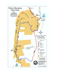
Talcott Mountain State Park map
Trail map of Talcott Mountain State Park in Connecticut.
101 miles away
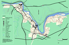
Robinson State Park trail map
Trail map of Robinson State Park in Massachusetts.
101 miles away
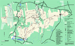
Mount Holyoke Range State Park Map
Trail map of Holyoke Range State Park.
101 miles away
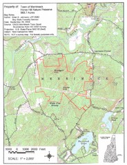
Merrimack Topo Map
A Topographical map Horse Hill Nature Preserve.
101 miles away
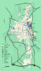
Otter River State Forest summer trail map
Summer trail map of the Otter River State Forest area in Massachusetts.
102 miles away
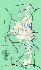
Otter River State Forest winter trail map
Winter usage trail map for Otter River State Park in Massachusetts.
102 miles away
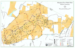
Sleeping Giant State Park map
Trail map for Sleeping Giant State Park in Connecticut.
102 miles away
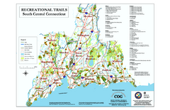
South Central Connecticut Recreational Trail Map
Map of South Central Connecticut showing all recreational trails and open spaces.
102 miles away
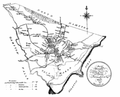
Hampton NH Map 1806
1806 map of Hampton, NH. Shows roads and settlements.
103 miles away
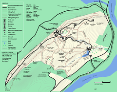
Mt. Tom State Reservation trail map
Trail map of Mt. Tom State Reservation
103 miles away
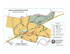
Stratton Brook State Park map
Trail map of Stratton Brook State Park in Connecticut.
103 miles away
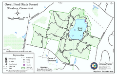
Great Pond State Park trail map
Trail map of Great Pond State Forest in Connecticut.
104 miles away
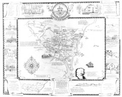
Hampton, New Hampshire Historical Map
Historical map of Hampton, New Hampshire. Illustrated map includes roads and historical buildings.
104 miles away
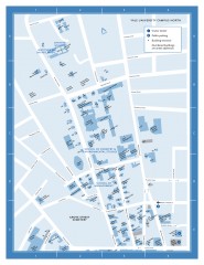
Yale University Campus North Map
Yale University Campus Map - North Campus, including School of Forestry & Environmental Studies...
104 miles away
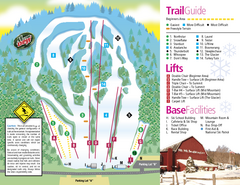
Mt. Southington Ski Area Ski Trail Map
Trail map from Mt. Southington Ski Area, which provides downhill, night, and terrain park skiing...
105 miles away
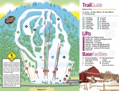
Mount Southington Ski Trail Map
Official ski trail map of Mount Southington ski area from the 2007-2008 season.
105 miles away
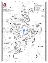
University of Massachusetts - Amherst Map
Campus Map of the University of Massachusetts - Amherst. All buildings shown.
105 miles away

Yale University Map
105 miles away
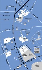
Downtown Amherst, Massachusetts Map
Tourist map of downtown Amherst, Massachusetts, showing attractions, government buildings, atms...
105 miles away
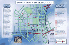
Downtown New Haven Parking Map
Shows locations of all town parking lots and also points of interest
105 miles away
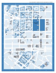
Yale University Campus South and Medical Center...
Yale University Campus South and Medical Center, including the Hewitt Quad, Cross Campus, Old Campus
105 miles away
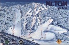
Mount Tom Ski Trail Map
Trail map from Mount Tom, which provides downhill skiing. This ski area opened in 1962.
105 miles away
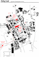
University of Massachusetts Amherst Parking Map
Map of the University of Massachusetts. Includes all buildings, streets, and parking information.
106 miles away
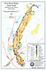
West Rock Ridge State Park map
Trail map of West Rock Ridge State Park in Connecticut.
106 miles away
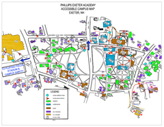
Phillips Exeter Academy Campus Map
Phillips Exeter Academy Campus Map
107 miles away
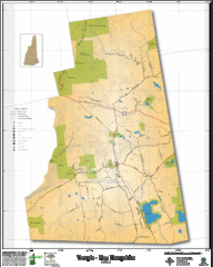
Temple NH Topo Map
Topographical map of Temple, NH area. Shows all roads and points of interest.
107 miles away
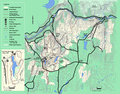
Wendell State Forest trail map
Trail map of Wendell State Forest in Massachusetts.
107 miles away
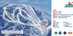
Ski Sundown Ski Trail Map
Trail map from Ski Sundown, which provides downhill and night skiing. It has 5 lifts servicing 15...
109 miles away
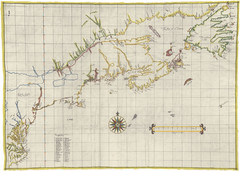
Velasco Map 1610
110 miles away
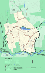
Erving State Park winter use map
Winter use map of the Erving State Park in Massachusetts
110 miles away
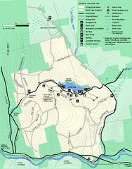
Erving Summer trail map
Summer use map of Erving State Park in Massachusetts.
111 miles away
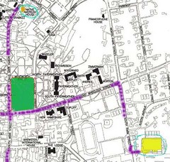
Manchester, New Hampshire City Map
111 miles away
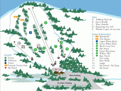
McIntyre Ski Trail Map
Official ski trail map of McIntyre ski area.
112 miles away

Urban Neighborhood Map: Long Island Map
This Urban Neighborhood Poster of Long Island is a modern twist on traditional maps. The typography...
112 miles away
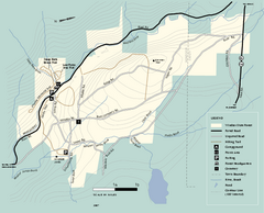
Windsor State Forest trail map
Trail map of Windsor State Forest in Massachusetts.
112 miles away
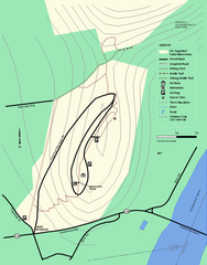
Mt. Sugarloaf State Reservation trail map
Trail map of Mount Sugarloaf State Reservation
112 miles away
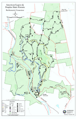
American Legion State Forest trail map
Trail map of American Legion and Peoples State Forests in Connecticut.
113 miles away

