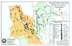
Chatfield Hollow State Park map
Trail map of Chatfield Hollow State Park
87 miles away
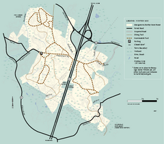
Georgetown-Rowley State Forest winter use map
Winter use map for the Georgetown-Rowley State Forest in Massachusetts.
87 miles away
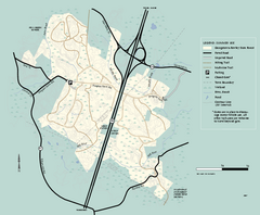
Georgetown-Rowley State Forest summer use map
Summer use map for Georgetown-Rowley State Forest.
87 miles away
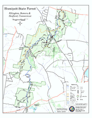
Trail map of Shenipsit State Forest
Trail map of Shenipsit State Forest in Connecticut.
87 miles away
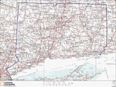
Connecticut State Parks Map
This is statewide map for Connecticut state parks. Go to the source website for detailed hiking...
87 miles away
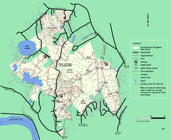
Lowell-Dracut-Tyngsboro State Forest trail map
Trail map for the Lowell-Dracut-Tyngsboro State Forest in Massachusetts
88 miles away

Palmer Motorsports Park Map
Track Map for Proposed Palmer Motorsports Park
88 miles away
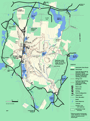
Leominster State Forest trail map
Trail map of Leominster State Forest in Massachusetts
88 miles away
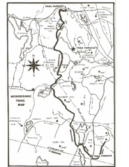
Monoosnoc Trail Map
88 miles away
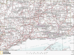
Connecticut Canoeing and Kayaking Lakes Map
A map of the lakes and ponds that are open for canoeing and kayaking in Connecticut. For detailed...
88 miles away
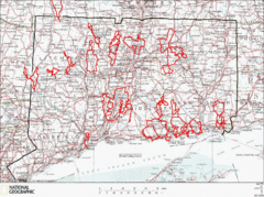
Connecticut Road Cycling Routes Map
A map of road cycling routes throughout Connecticut. Follow the link below for detailed route maps...
88 miles away
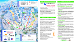
Wachusett Mountain Ski Trail Map
Trail map from Wachusett Mountain.
89 miles away
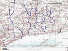
Connecticut Rivers and Coastal Paddling Map
This is a map of paddling areas for rivers and coastal kayaking. Follow the link below for...
89 miles away
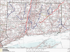
Connecticut Long Distance Trails Map
A map of long distance trails throughout Connecticut. Go to the website below for detailed trail...
89 miles away
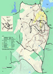
Wachusett Mountain State Reservation trail map
Trail map of Wachusett Mountain State Reservation in Massachusetts.
89 miles away
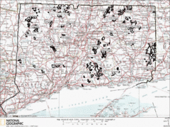
Connecticut State Forests Map
This is a map of all of the state forest boundaries in Connecticut. Follow the source web address...
89 miles away
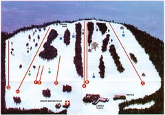
Ski Bradford Ski Trail Map
Trail map from Ski Bradford.
90 miles away
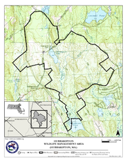
Hubbardston WMA Map
91 miles away
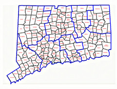
Connecticut Town Map
91 miles away
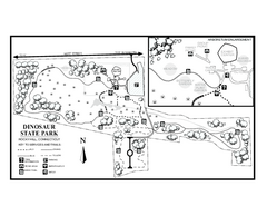
Dinosaur State Park map
Trail map of Dinosaur State Park in Connecticut.
91 miles away
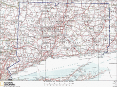
Connecticut Rock Climbing Locations Map
A map of most of the important rock climbing and bouldering areas in Connecticut. Click the link...
91 miles away
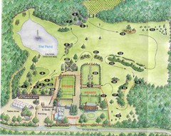
Newbury Perrenial Gardens Guide Map
91 miles away
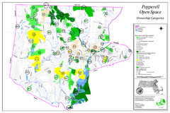
Pepperell Conservation Land and Open Spaces Map
Map showing conservation land and open spaces in Pepperell, MA.
92 miles away
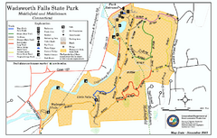
Wadsworth Falls State Park map
Trail map of Wadsworth Falls State Park in Connecticut.
92 miles away
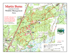
Downfall/Martin Burns WMA Map
92 miles away
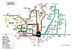
Guilford Bus Services Map
92 miles away

Wadsworth Athenium Museum Location Map
Wadsworth Athenium visitor location map with locations of major buildings, streets, parks, and...
94 miles away
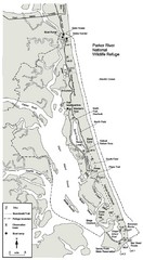
Parker River Map
Map of Parker River National Wildlife Refuge for birdlife
94 miles away
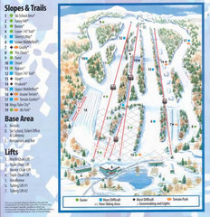
Powder Ridge Ski Area Ski Trail Map
Trail map from Powder Ridge Ski Area.
95 miles away
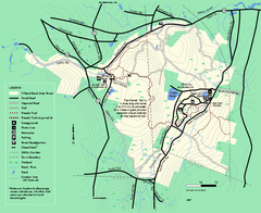
Willard Brook State Forest trail map
Trail map of Willard Brook State Forest in Massachusetts.
95 miles away
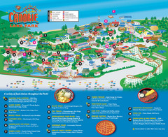
Canobie Lake Park Map
95 miles away
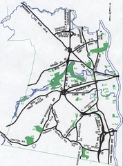
Nashua Parks Map
Map of Nashua, New Hampshire parks
95 miles away
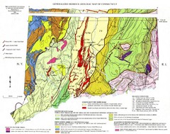
Connecticut Geologic Map
Geologic map of Connecticut bedrock. Shows shaded terranes, fault lines, and Mesozoic formations.
95 miles away
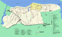
Maudslay State Park trail map
Trail Map of Maudslay State Park in Massachusetts.
96 miles away
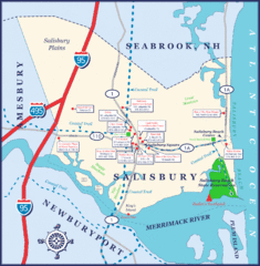
Salisbury Town Map
96 miles away
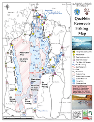
Quabbin Reservoir Fishing Map
Fishing access map of Quabbin Reservoir. Shows all ponds and submerged ponds.
98 miles away
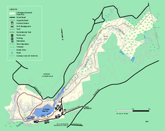
Chicopee State Park trail map
Chicopee State Park trail map
98 miles away
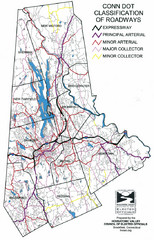
Connecticut Roadway Classification Map
100 miles away
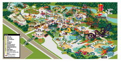
Six Flags New England Theme Park Map
Official Park Map of Six Flags New England in Massachusetts.
100 miles away
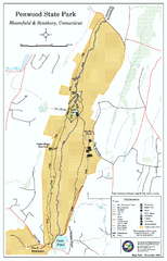
Penwood State Park map
Trail map of Penwood State Park in Connecticut.
100 miles away

