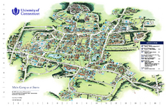
University of Connecticut - Storrs Campus Map
University of Connecticut - Storrs Campus Map. All areas shown.
74 miles away
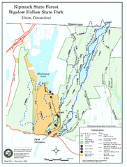
Nipmuck State Forest trail map
Trail map of Nipmuck State Forest and Bigelow Hollow State Park in Connecticut.
74 miles away
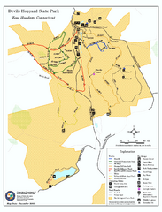
Devils Hophard State Park map
Trail and camprground map for Devils Hopyard State Park in Connecticut.
74 miles away
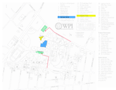
Worcester Polytechnic Institute Campus Map
Map of Worcester Polytechnic Institute. Includes all buildings, parking, streets, and location of...
74 miles away
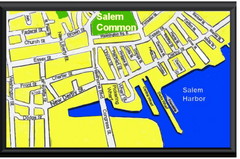
Salem, Massachusetts Guide Map
74 miles away
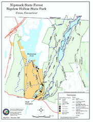
Bigelow Hollow State Park trail map
Trail map of Bigelow Hollow State Park in Connecticut.
74 miles away
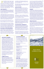
Mt. Pisgah Map - Northboro, Berlin, Boylston Mass
75 miles away
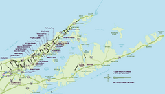
Long Island Wineries Map
Map of LIWC member wineries offering wine tastings to the public.
75 miles away
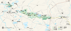
Minute Man National Historical Park Official Map
Official NPS map of Minute Man National Historical Park in Massachusetts. Map shows all areas. The...
75 miles away
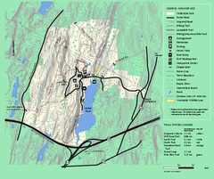
Wells State Park trail map
Trail map of Wells State Park in Massachusetts.
77 miles away
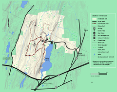
Wells State Park winter trail map
Winter use trail map of Wells State Park in Massachusetts.
77 miles away
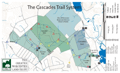
Cascades Park Map
77 miles away
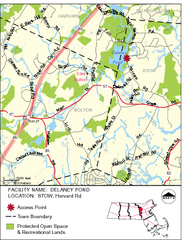
Delaney Conservation Land Map
77 miles away
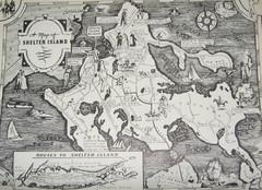
Shelter Island Map
Old Shelter Island map circa 1930s
78 miles away
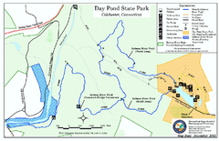
Daypond State Park map
Trail map for Day Pond State Park
78 miles away
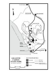
Gillette State Park trail map
Trail map of Gillette Castle State Park in Connecticut.
78 miles away

Salmon River State Forest trail map
Trail map for Salmon River State Forest in Connecticut.
79 miles away
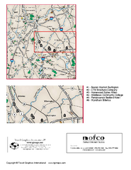
Greater Merrimack Valley, Massachusetts Map
Tourist map of greater Merrimack Valley, Massachusetts. Lodging, forests, and other points of...
79 miles away
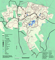
Great Brook Farm State Park trail map
Trail map of Great Brook Farm State Park.
80 miles away
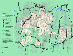
Brimfield State Forest trail map
Trail map of Brimfield State Forest in Massachusetts
80 miles away
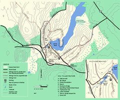
Moore State Park trail map
Trail map of Moore State Park in Massachusetts.
81 miles away
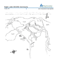
Eagle Lake Conservation Area Map
81 miles away
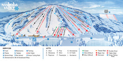
Nashoba Valley Ski Area Ski Trail Map
Trail map from Nashoba Valley Ski Area.
81 miles away
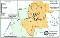
Gay City State Park trail map
Trail map of Gay City State Park in Connecticut.
81 miles away
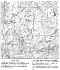
Trout Brook Conservation Area Map
81 miles away
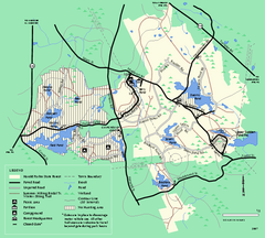
Harold Parker State Forest trail map
Trail map of Harold Parker State Forest in Massachusetts
82 miles away

Cockaponset State Forest South Section trail map
Trail map for the South Section of Cockaponset State Forest in Connecticut.
83 miles away
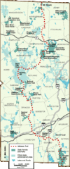
Midstate Trail Map
Map of the Midstate Trail, which runs from Ashburnham to the Rhode Island border. Shows state...
83 miles away
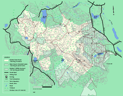
Boxford State Park trail map
Trail map of Boxford State Forest in Massachusetts
83 miles away
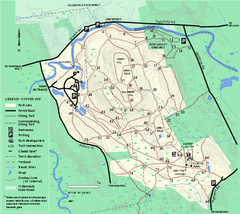
Bradley Palmer State Park winter map
Winter trail map of Bradley Palmer State Park.
83 miles away
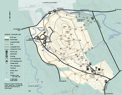
Bradley Palmer State Park summer map
Summer use map of Bradley Palmer State Park in Massachusetts
84 miles away

Cockaponset State Forest North Section trail map
Trail map for the north section of Cockaponset State Forest in Connecticut
84 miles away
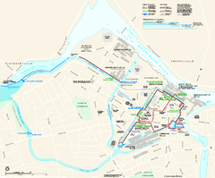
Lowell National Historical Park Official Map
Official NPS map of Lowell National Historical Park in Lowell, Massachusetts. Map shows all of...
84 miles away
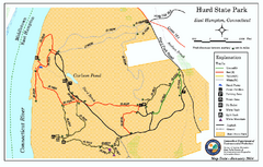
Hurd State Park trail map
Trail map for Hurd State Park in Connecticut.
85 miles away
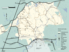
Willowdale State Forest map of Pine Swamp
Trail map of the Pine Swamp area of Willowdale State Park in Massachusetts.
85 miles away
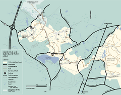
Willowdale State Forest map of Hood Pond
Trail map of the Hood Pond area of the Willowdale State Park in Massachusetts.
85 miles away

Hammonasset Beach State Park map
Trail map for Hammonasset Beach State Park in Connecticut.
86 miles away
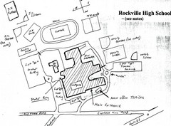
Rockville High School Map
Hand-drawn map of Rockville High School includes all buildings, Parking Lots, and sports fields.
86 miles away

Hammonasset Beach State Park campground map
Campground map of Hammonasset State Park in Connecticut.
86 miles away


